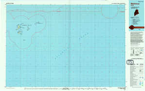
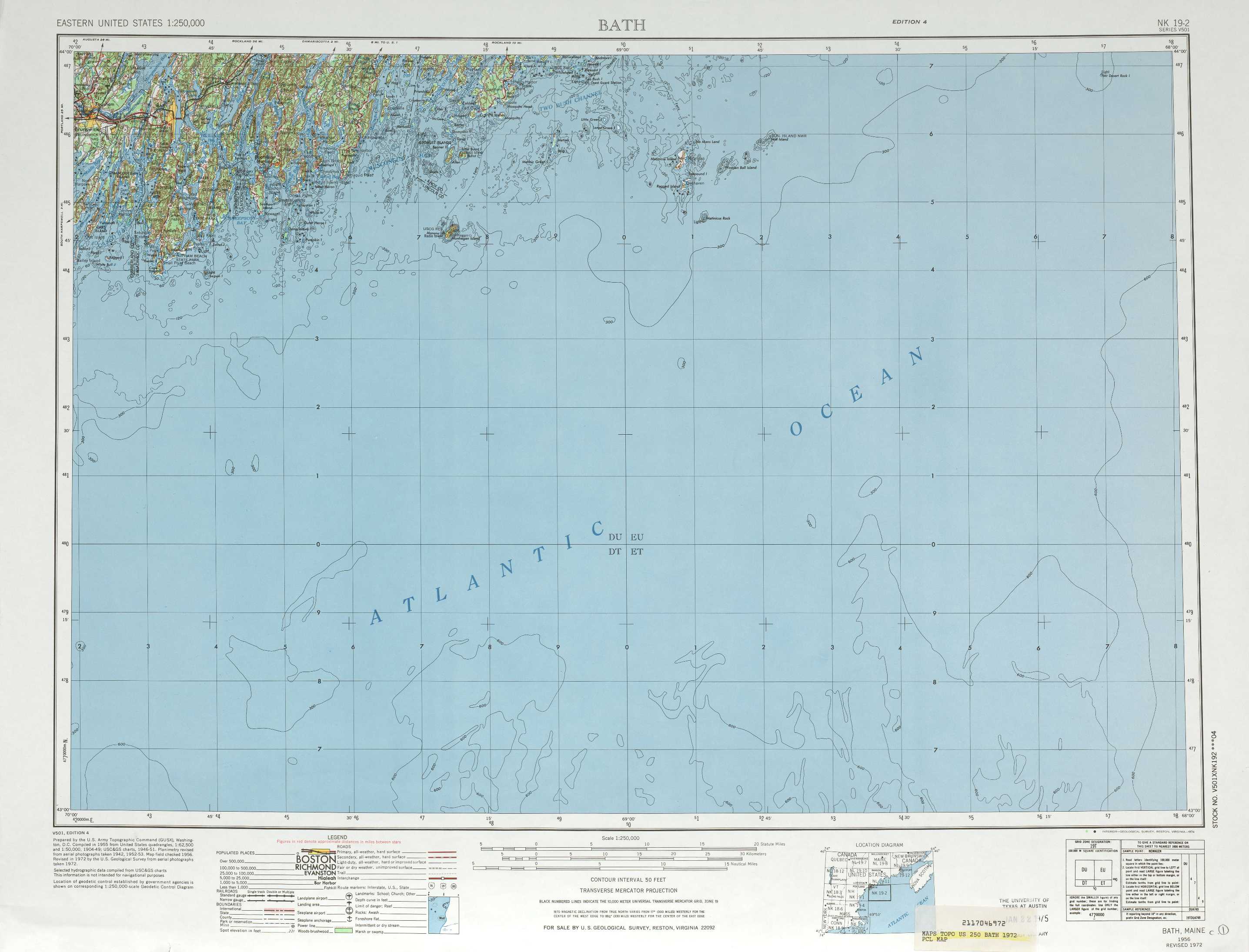
Bath Topo Map Maine
To zoom in, hover over the map of Bath
USGS Topo Map 43068a1 - 1:250,000 scale
| Topo Map Name: | Bath |
| USGS Topo Quad ID: | 43068a1 |
| Print Size: | ca. 32" wide x 22 1/2" high |
| Southeast Coordinates: | 43° N latitude / 68° W longitude |
| Map Center Coordinates: | 43.5° N latitude / 69° W longitude |
| U.S. State: | ME |
| Filename: | 43068a1.jpg |
| Download Map JPG Image: | Bath topo map 1:250,000 scale |
| Map Type: | Topographic |
| Topo Series: | 1°x2° |
| Map Scale: | 1:250,000 |
| Source of Map Images: | United States Geological Survey (USGS) |
| Alternate Map Versions: |
Bath ME 1948, updated 1948 Download PDF Buy paper map Bath ME 1948, updated 1951 Download PDF Buy paper map Bath ME 1956, updated 1974 Download PDF Buy paper map Bath ME 1957, updated 1957 Download PDF Buy paper map Bath ME 1958, updated 1958 Download PDF Buy paper map Bath ME 1963, updated 1963 Download PDF Buy paper map Bath ME 1963, updated 1963 Download PDF Buy paper map Bath ME 1965, updated 1965 Download PDF Buy paper map |
1:250,000 Topos surrounding Bath
Lewiston ME, NH, VT |
Bangor ME |
Eastport ME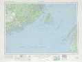 |
Portland NH, ME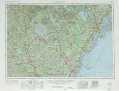 |
Bath ME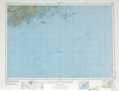 |
|
Boston MA, NH, RI, CT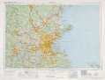 |
> Back to U.S. Topo Maps home
1:100,000 Topo Maps covered by the spatial extent of this 250k map (Bath)
Bath ME |
Matinicus ME |