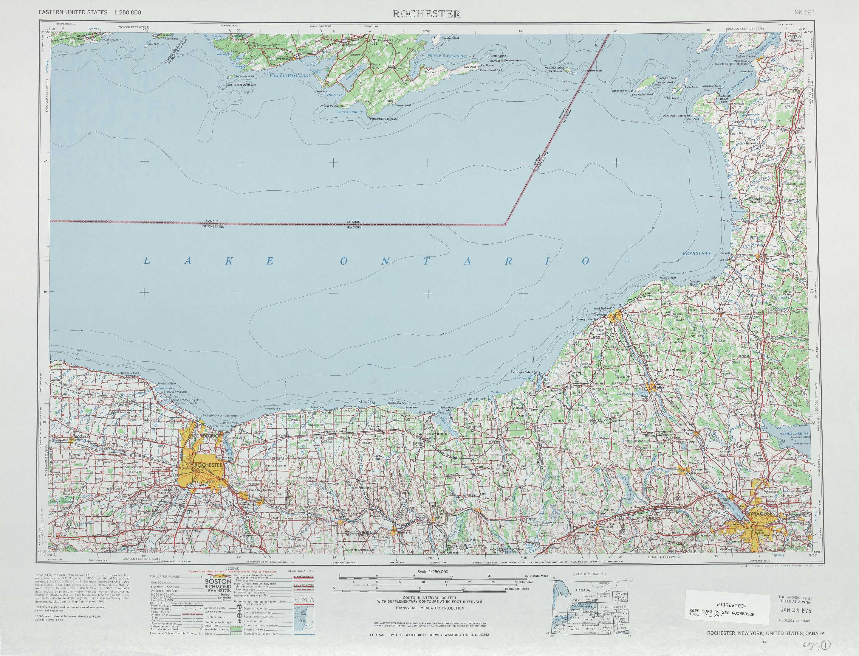
Rochester Topo Map New York
To zoom in, hover over the map of Rochester
USGS Topo Map 43076a1 - 1:250,000 scale
| Topo Map Name: | Rochester |
| USGS Topo Quad ID: | 43076a1 |
| Print Size: | ca. 32" wide x 22 1/2" high |
| Southeast Coordinates: | 43° N latitude / 76° W longitude |
| Map Center Coordinates: | 43.5° N latitude / 77° W longitude |
| U.S. State: | NY |
| Filename: | 43076a1.jpg |
| Download Map JPG Image: | Rochester topo map 1:250,000 scale |
| Map Type: | Topographic |
| Topo Series: | 1°x2° |
| Map Scale: | 1:250,000 |
| Source of Map Images: | United States Geological Survey (USGS) |
| Alternate Map Versions: |
Rochester NY 1960 Download PDF Buy paper map Rochester NY 1960 Download PDF Buy paper map Rochester NY 1961, updated 1973 Download PDF Buy paper map Rochester NY 1961, updated 1977 Download PDF Buy paper map Rochester NY 1961, updated 1979 Download PDF Buy paper map Rochester NY 1965 Download PDF Buy paper map |
1:250,000 Topos surrounding Rochester
Kingston NY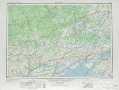 |
Ogdensburg NY |
|
Toronto NY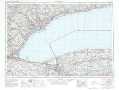 |
Rochester NY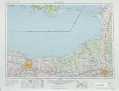 |
Utica NY |
Buffalo NY, PA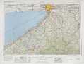 |
Elmira NY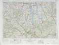 |
Binghamton NY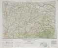 |
> Back to U.S. Topo Maps home
1:100,000 Topo Maps covered by the spatial extent of this 250k map (Rochester)
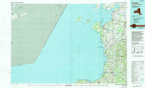
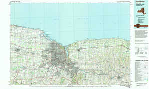
Pulaski NY |
Rochester NY |
Syracuse NY |