Cody Topo Map Wyoming
To zoom in, hover over the map of Cody
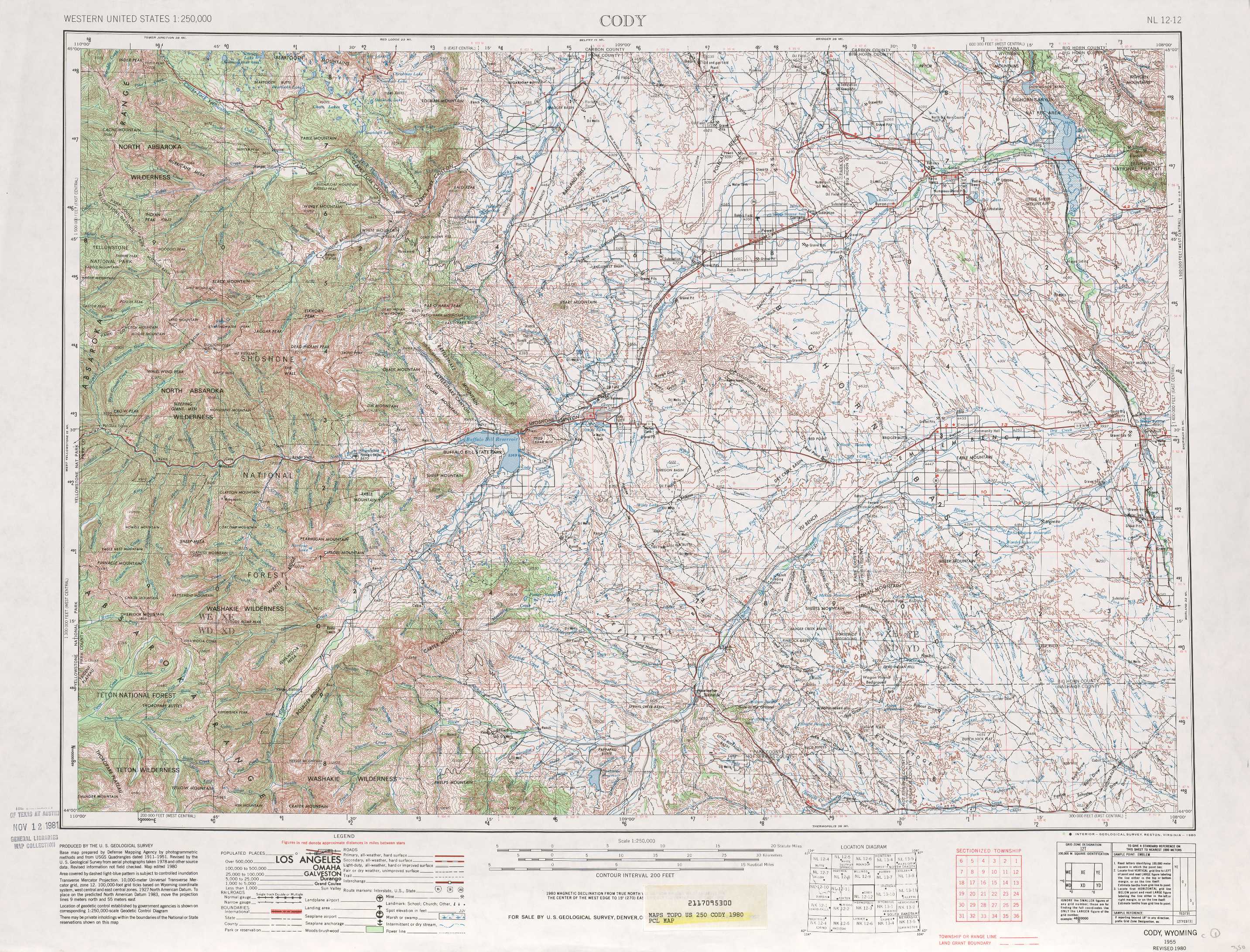
USGS Topo Map 44108a1 - 1:250,000 scale
| Topo Map Name: | Cody |
| USGS Topo Quad ID: | 44108a1 |
| Print Size: | ca. 32" wide x 22 1/2" high |
| Southeast Coordinates: | 44° N latitude / 108° W longitude |
| Map Center Coordinates: | 44.5° N latitude / 109° W longitude |
| U.S. State: | WY |
| Filename: | 44108a1.jpg |
| Download Map JPG Image: | Cody topo map 1:250,000 scale |
| Map Type: | Topographic |
| Topo Series: | 1°x2° |
| Map Scale: | 1:250,000 |
| Source of Map Images: | United States Geological Survey (USGS) |
| Alternate Map Versions: |
Cody WY 1955, updated 1969 Download PDF Buy paper map Cody WY 1955, updated 1980 Download PDF Buy paper map Cody WY 1958, updated 1958 Download PDF Buy paper map Cody WY 1962, updated 1962 Download PDF Buy paper map |
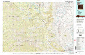
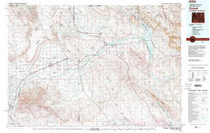
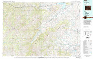
1:250,000 Topos surrounding Cody
Bozeman MT |
Billings MT |
Hardin MT |
Ashton WY, ID, MT |
Cody WY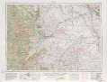 |
Sheridan WY |
Driggs WY, ID |
Thermopolis WY |
Arminto WY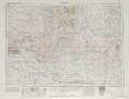 |
> Back to U.S. Topo Maps home
1:100,000 Topo Maps covered by the spatial extent of this 250k map (Cody)
Cody WY |
Powell WY |
Carter Mountain WY |
Basin WY |