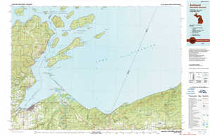
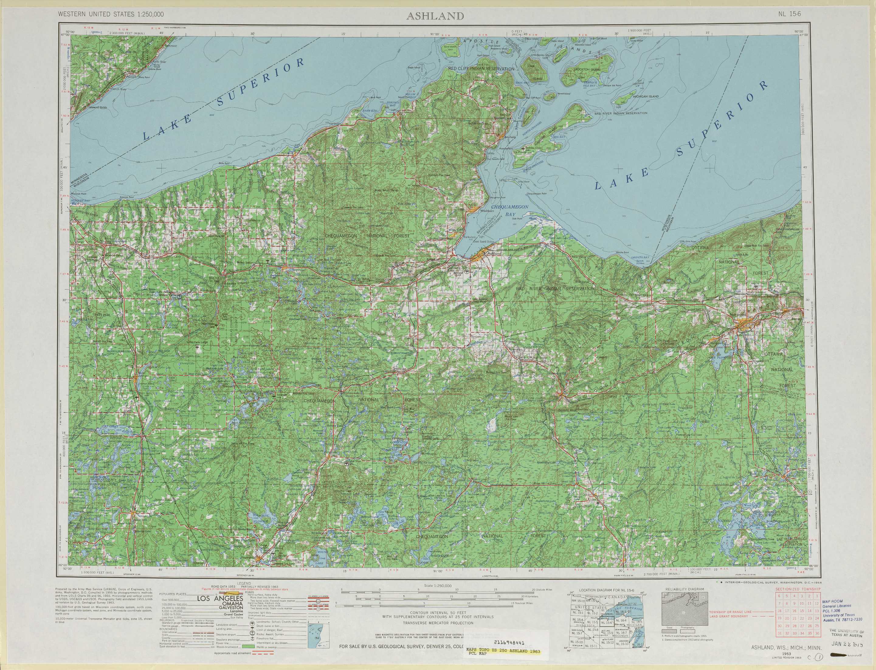
Ashland Topo Map Wisconsin
To zoom in, hover over the map of Ashland
USGS Topo Map 46090a1 - 1:250,000 scale
| Topo Map Name: | Ashland |
| USGS Topo Quad ID: | 46090a1 |
| Print Size: | ca. 32" wide x 22 1/2" high |
| Southeast Coordinates: | 46° N latitude / 90° W longitude |
| Map Center Coordinates: | 46.5° N latitude / 91° W longitude |
| U.S. States: | WI, MI, MN |
| Filename: | 46090a1.jpg |
| Download Map JPG Image: | Ashland topo map 1:250,000 scale |
| Map Type: | Topographic |
| Topo Series: | 1°x2° |
| Map Scale: | 1:250,000 |
| Source of Map Images: | United States Geological Survey (USGS) |
| Alternate Map Versions: |
Ashland WI 1953, updated 1964 Download PDF Buy paper map Ashland WI 1953, updated 1975 Download PDF Buy paper map Ashland WI 1953, updated 1983 Download PDF Buy paper map Ashland WI 1958 Download PDF Buy paper map |
1:250,000 Topos surrounding Ashland
Hibbing MN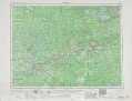 |
Two Harbors MN, WI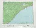 |
Hancock MI, MN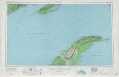 |
Duluth MN, WI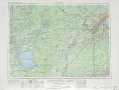 |
Ashland WI, MI, MN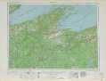 |
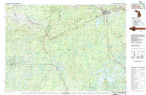
Iron River MI, WI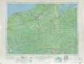 |
Stillwater MN, WI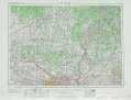 |
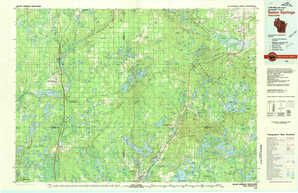
Rice Lake WI |
Iron Mtn WI, MI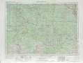 |
> Back to U.S. Topo Maps home
1:100,000 Topo Maps covered by the spatial extent of this 250k map (Ashland)
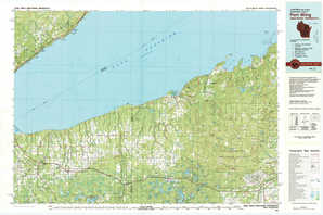
Port Wing WI, MN |
Ashland WI, MI |
Solon Springs WI |
Ironwood MI, WI |