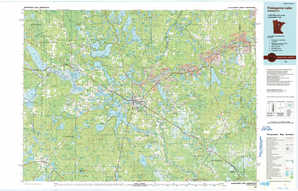
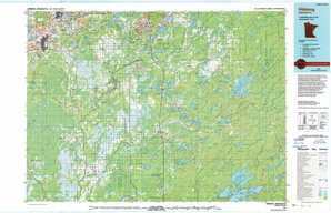
Hibbing Topo Map Minnesota
To zoom in, hover over the map of Hibbing
USGS Topo Map 47092a1 - 1:250,000 scale
| Topo Map Name: | Hibbing |
| USGS Topo Quad ID: | 47092a1 |
| Print Size: | ca. 32" wide x 22 1/2" high |
| Southeast Coordinates: | 47° N latitude / 92° W longitude |
| Map Center Coordinates: | 47.5° N latitude / 93° W longitude |
| U.S. State: | MN |
| Filename: | 47092a1.jpg |
| Download Map JPG Image: | Hibbing topo map 1:250,000 scale |
| Map Type: | Topographic |
| Topo Series: | 1°x2° |
| Map Scale: | 1:250,000 |
| Source of Map Images: | United States Geological Survey (USGS) |
| Alternate Map Versions: |
Hibbing MN 1954, updated 1966 Download PDF Buy paper map Hibbing MN 1954, updated 1974 Download PDF Buy paper map Hibbing MN 1954, updated 1980 Download PDF Buy paper map Hibbing MN 1958 Download PDF Buy paper map Hibbing MN 1964 Download PDF Buy paper map |
1:250,000 Topos surrounding Hibbing
Roseau MN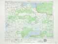 |
International Falls MN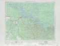 |
Quetico MN |
Bemidji MN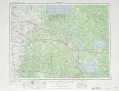 |
Hibbing MN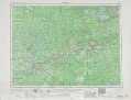 |
Two Harbors MN, WI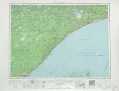 |
Brainerd MN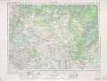 |
Duluth MN, WI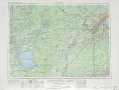 |
Ashland WI, MI, MN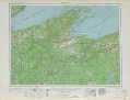 |
> Back to U.S. Topo Maps home
1:100,000 Topo Maps covered by the spatial extent of this 250k map (Hibbing)
Bigfork MN |
Vermilion Lake MN |
Pokegama Lake MN |
Hibbing MN |