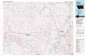
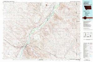
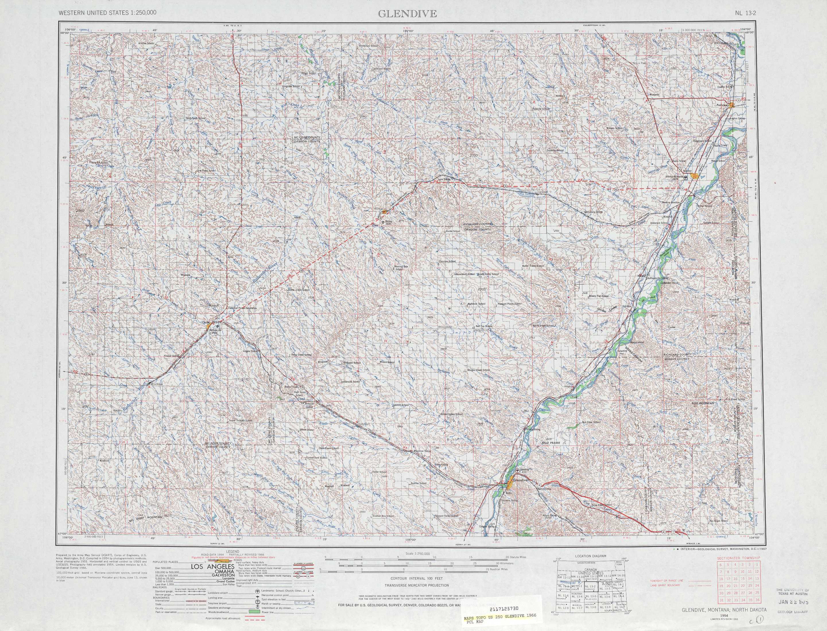
Glendive Topo Map Montana
To zoom in, hover over the map of Glendive
USGS Topo Map 47104a1 - 1:250,000 scale
| Topo Map Name: | Glendive |
| USGS Topo Quad ID: | 47104a1 |
| Print Size: | ca. 32" wide x 22 1/2" high |
| Southeast Coordinates: | 47° N latitude / 104° W longitude |
| Map Center Coordinates: | 47.5° N latitude / 105° W longitude |
| U.S. States: | MT, ND |
| Filename: | 47104a1.jpg |
| Download Map JPG Image: | Glendive topo map 1:250,000 scale |
| Map Type: | Topographic |
| Topo Series: | 1°x2° |
| Map Scale: | 1:250,000 |
| Source of Map Images: | United States Geological Survey (USGS) |
| Alternate Map Versions: |
Glendive MT 1909, updated 1949 Download PDF Buy paper map Glendive MT 1954, updated 1967 Download PDF Buy paper map Glendive MT 1954, updated 1976 Download PDF Buy paper map Glendive MT 1958 Download PDF Buy paper map |
1:250,000 Topos surrounding Glendive
Glasgow MT |
Wolf Point MT, ND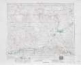 |
Williston ND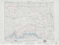 |
Jordan MT |
Glendive MT, ND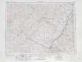 |
Watford City ND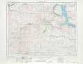 |
Forsyth MT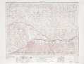 |
Miles City MT, ND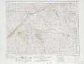 |
Dickinson ND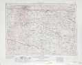 |
> Back to U.S. Topo Maps home
1:100,000 Topo Maps covered by the spatial extent of this 250k map (Glendive)
Richey MT |
Sidney MT, ND |
Circle MT |
Glendive MT, ND |