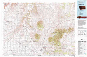
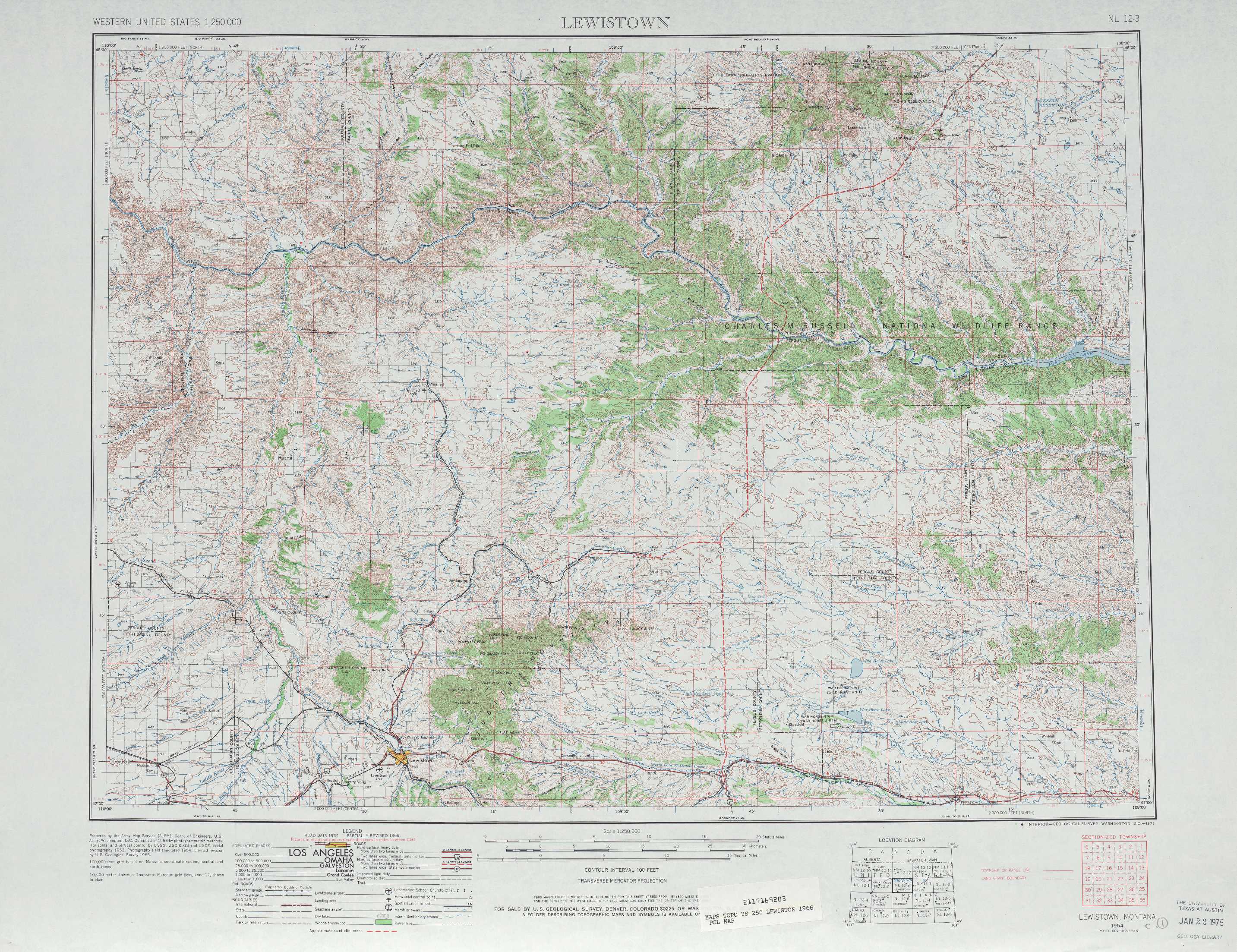
Lewistown Topo Map Montana
To zoom in, hover over the map of Lewistown
USGS Topo Map 47108a1 - 1:250,000 scale
| Topo Map Name: | Lewistown |
| USGS Topo Quad ID: | 47108a1 |
| Print Size: | ca. 32" wide x 22 1/2" high |
| Southeast Coordinates: | 47° N latitude / 108° W longitude |
| Map Center Coordinates: | 47.5° N latitude / 109° W longitude |
| U.S. State: | MT |
| Filename: | 47108a1.jpg |
| Download Map JPG Image: | Lewistown topo map 1:250,000 scale |
| Map Type: | Topographic |
| Topo Series: | 1°x2° |
| Map Scale: | 1:250,000 |
| Source of Map Images: | United States Geological Survey (USGS) |
| Alternate Map Versions: |
Lewistown MT 1954, updated 1967 Download PDF Buy paper map Lewistown MT 1954, updated 1973 Download PDF Buy paper map Lewistown MT 1954, updated 1978 Download PDF Buy paper map Lewistown MT 1959 Download PDF Buy paper map |
1:250,000 Topos surrounding Lewistown
Shelby MT |
Havre MT |
Glasgow MT |
Great Falls MT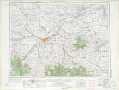 |
Lewistown MT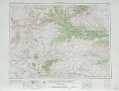 |
Jordan MT |
White Sulphur Springs MT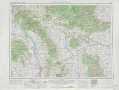 |
Roundup MT |
Forsyth MT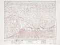 |
> Back to U.S. Topo Maps home
1:100,000 Topo Maps covered by the spatial extent of this 250k map (Lewistown)
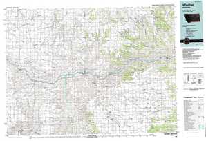
Winifred MT |
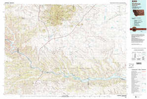
Zortman MT |
Lewistown MT |
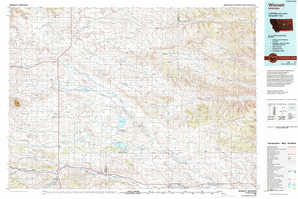
Winnett MT |