Schooner Bank Topo Map Florida
To zoom in, hover over the map of Schooner Bank
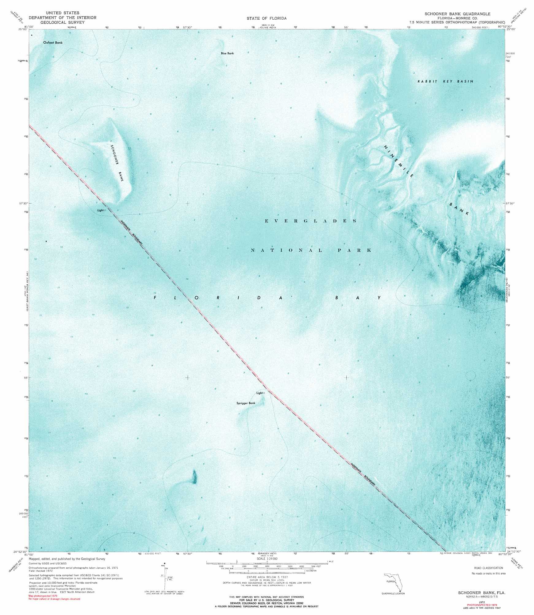
USGS Topo Quad 24080h8 - 1:24,000 scale
| Topo Map Name: | Schooner Bank |
| USGS Topo Quad ID: | 24080h8 |
| Print Size: | ca. 21 1/4" wide x 27" high |
| Southeast Coordinates: | 24.875° N latitude / 80.875° W longitude |
| Map Center Coordinates: | 24.9375° N latitude / 80.9375° W longitude |
| U.S. State: | FL |
| Filename: | P24080H8.jpg |
| Download Map JPG Image: | Schooner Bank topo map 1:24,000 scale |
| Map Type: | Orthophoto |
| Topo Series: | 7.5´ |
| Map Scale: | 1:24,000 |
| Source of Map Images: | United States Geological Survey (USGS) |
| Alternate Map Versions: |
Schooner Bank FL 1972, updated 1973 Download PDF Buy paper map Schooner Bank FL 1972, updated 1990 Download PDF Buy paper map Schooner Bank FL 2012 Download PDF Buy paper map Schooner Bank FL 2015 Download PDF Buy paper map |
1:24,000 Topo Quads surrounding Schooner Bank
Lake Ingraham West |
Lake Ingraham East |
Flamingo |
West Lake |
Madeira Bay |
Sandy Key |
Clive Key |
Pelican Keys |
Calusa Keys |
|
East Bahia Honda Key Ne |
Schooner Bank |
Buchanan Keys |
Upper Matecumbe Key |
|
East Bahia Honda Key |
Bamboo Key |
Grassy Key |
Long Key |
Lower Matecumbe Key |
Sevenmile Bridge |
Marathon |
Crawl Key |
> Back to 24080e1 at 1:100,000 scale
> Back to 24080a1 at 1:250,000 scale
> Back to U.S. Topo Maps home
Schooner Bank topo map: Gazetteer
Schooner Bank: Bars
Blue Bank elevation 0m 0′Ninemile Bank elevation 0m 0′
Schooner Bank elevation 0m 0′
Sprigger Bank elevation 0m 0′
Schooner Bank: Bays
Rabbit Key Basin elevation 0m 0′Schooner Bank digital topo map on disk
Buy this Schooner Bank topo map showing relief, roads, GPS coordinates and other geographical features, as a high-resolution digital map file on DVD: