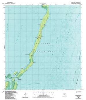
Elliott Key Topo Map Florida
To zoom in, hover over the map of Elliott Key
USGS Topo Quad 25080d2 - 1:24,000 scale
| Topo Map Name: | Elliott Key |
| USGS Topo Quad ID: | 25080d2 |
| Print Size: | ca. 21 1/4" wide x 27" high |
| Southeast Coordinates: | 25.375° N latitude / 80.125° W longitude |
| Map Center Coordinates: | 25.4375° N latitude / 80.1875° W longitude |
| U.S. State: | FL |
| Filename: | O25080D2.jpg |
| Download Map JPG Image: | Elliott Key topo map 1:24,000 scale |
| Map Type: | Topographic |
| Topo Series: | 7.5´ |
| Map Scale: | 1:24,000 |
| Source of Map Images: | United States Geological Survey (USGS) |
| Alternate Map Versions: |
Elliott Key FL 1949 Download PDF Buy paper map Elliott Key FL 1956, updated 1957 Download PDF Buy paper map Elliott Key FL 1956, updated 1964 Download PDF Buy paper map Elliott Key FL 1956, updated 1970 Download PDF Buy paper map Elliott Key FL 1988, updated 1988 Download PDF Buy paper map Elliott Key FL 2012 Download PDF Buy paper map Elliott Key FL 2015 Download PDF Buy paper map |
1:24,000 Topo Quads surrounding Elliott Key
South Miami Nw |
South Miami |
Key Biscayne |
||
Goulds |
Perrine |
Soldier Key |
||
Homestead |
Arsenicker Keys |
Elliott Key |
||
Glades |
Card Sound |
Pacific Reef |
||
Blackwater Sound |
Garden Cove |
> Back to 25080a1 at 1:100,000 scale
> Back to 25080a1 at 1:250,000 scale
> Back to U.S. Topo Maps home
Elliott Key topo map: Gazetteer
Elliott Key: Bars
Ajax Reef elevation 0m 0′Bache Shoal elevation 0m 0′
Caesar Creek Bank elevation 0m 0′
Long Reef elevation 0m 0′
Margot Fish Shoal elevation 0m 0′
Elliott Key: Bays
Sandwich Cove elevation 0m 0′Sawyer Cove elevation 0m 0′
Elliott Key: Capes
Billys Point elevation 0m 0′Christmas Point elevation 0m 0′
Coon Point elevation 0m 0′
Jones Point elevation 0m 0′
Log Point elevation 0m 0′
Ott Point elevation 0m 0′
Petrel Point elevation 0m 0′
Point Adelle elevation 0m 0′
Sea Grape Point elevation 0m 0′
Elliott Key: Channels
Caesar Creek elevation 0m 0′Pacific Reef Channel elevation 0m 0′
Sands Cut elevation 0m 0′
Elliott Key: Guts
Hurricane Creek elevation 0m 0′Elliott Key: Harbors
Elliott Key Harbor elevation 0m 0′Legare Anchorage elevation 0m 0′
Elliott Key: Islands
Adams Key elevation 0m 0′Caesar Rock elevation 0m 0′
Elliott Key elevation 0m 0′
Meigs Key elevation 1m 3′
Porgy Key elevation 0m 0′
Reid Key elevation 0m 0′
Rubicon Keys elevation 0m 0′
Totten Key elevation 1m 3′
Elliott Key digital topo map on disk
Buy this Elliott Key topo map showing relief, roads, GPS coordinates and other geographical features, as a high-resolution digital map file on DVD:


