Mills Bennett Nw Topo Map Texas
To zoom in, hover over the map of Mills Bennett Nw
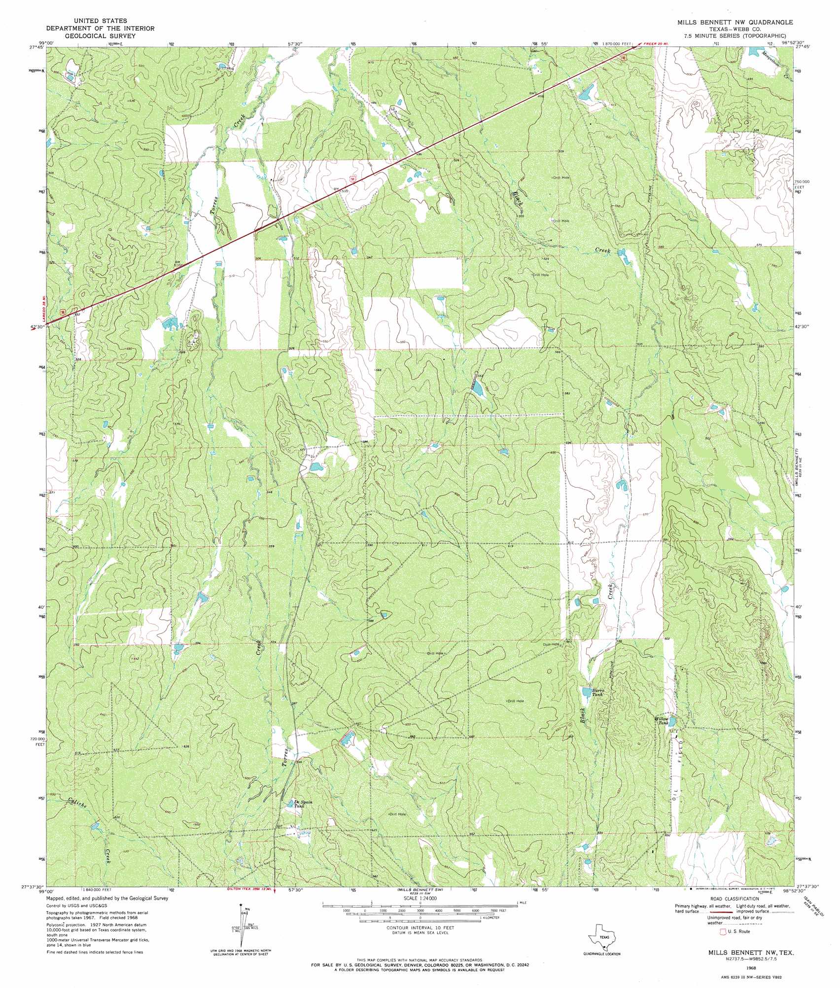
USGS Topo Quad 27098f8 - 1:24,000 scale
| Topo Map Name: | Mills Bennett Nw |
| USGS Topo Quad ID: | 27098f8 |
| Print Size: | ca. 21 1/4" wide x 27" high |
| Southeast Coordinates: | 27.625° N latitude / 98.875° W longitude |
| Map Center Coordinates: | 27.6875° N latitude / 98.9375° W longitude |
| U.S. State: | TX |
| Filename: | o27098f8.jpg |
| Download Map JPG Image: | Mills Bennett Nw topo map 1:24,000 scale |
| Map Type: | Topographic |
| Topo Series: | 7.5´ |
| Map Scale: | 1:24,000 |
| Source of Map Images: | United States Geological Survey (USGS) |
| Alternate Map Versions: |
Mills Bennett NW TX 1968, updated 1971 Download PDF Buy paper map Mills Bennett NW TX 2010 Download PDF Buy paper map Mills Bennett NW TX 2013 Download PDF Buy paper map Mills Bennett NW TX 2016 Download PDF Buy paper map |
1:24,000 Topo Quads surrounding Mills Bennett Nw
Venado Creek East |
Alamito Creek Ne |
Biel Lake North |
Biel Lake Ne |
Freer Nw |
Pato Creek |
Alamito Creek |
Biel Lake South |
Biel Lake Se |
Sarnosa Hill |
Piedra Parada Tank |
Piedra Parada Ranch |
Mills Bennett Nw |
Mills Bennett |
Parrilla Creek Nw |
Burrito Tank |
Shipp Ranch |
Mills Bennett Sw |
San Pablo |
Parrilla Creek Sw |
Retama Creek |
Mirando City |
Oilton |
Bruni |
Hebbronville Nw |
> Back to 27098e1 at 1:100,000 scale
> Back to 27098a1 at 1:250,000 scale
> Back to U.S. Topo Maps home
Mills Bennett Nw topo map: Gazetteer
Mills Bennett Nw: Dams
Gates Lake Dam elevation 155m 508′Mills Bennett Nw: Reservoirs
Burro Tank elevation 189m 620′De Spain Tank elevation 186m 610′
Gates Lake elevation 155m 508′
Willow Tank elevation 195m 639′
Mills Bennett Nw digital topo map on disk
Buy this Mills Bennett Nw topo map showing relief, roads, GPS coordinates and other geographical features, as a high-resolution digital map file on DVD: