Mosquito Point Topo Map Texas
To zoom in, hover over the map of Mosquito Point
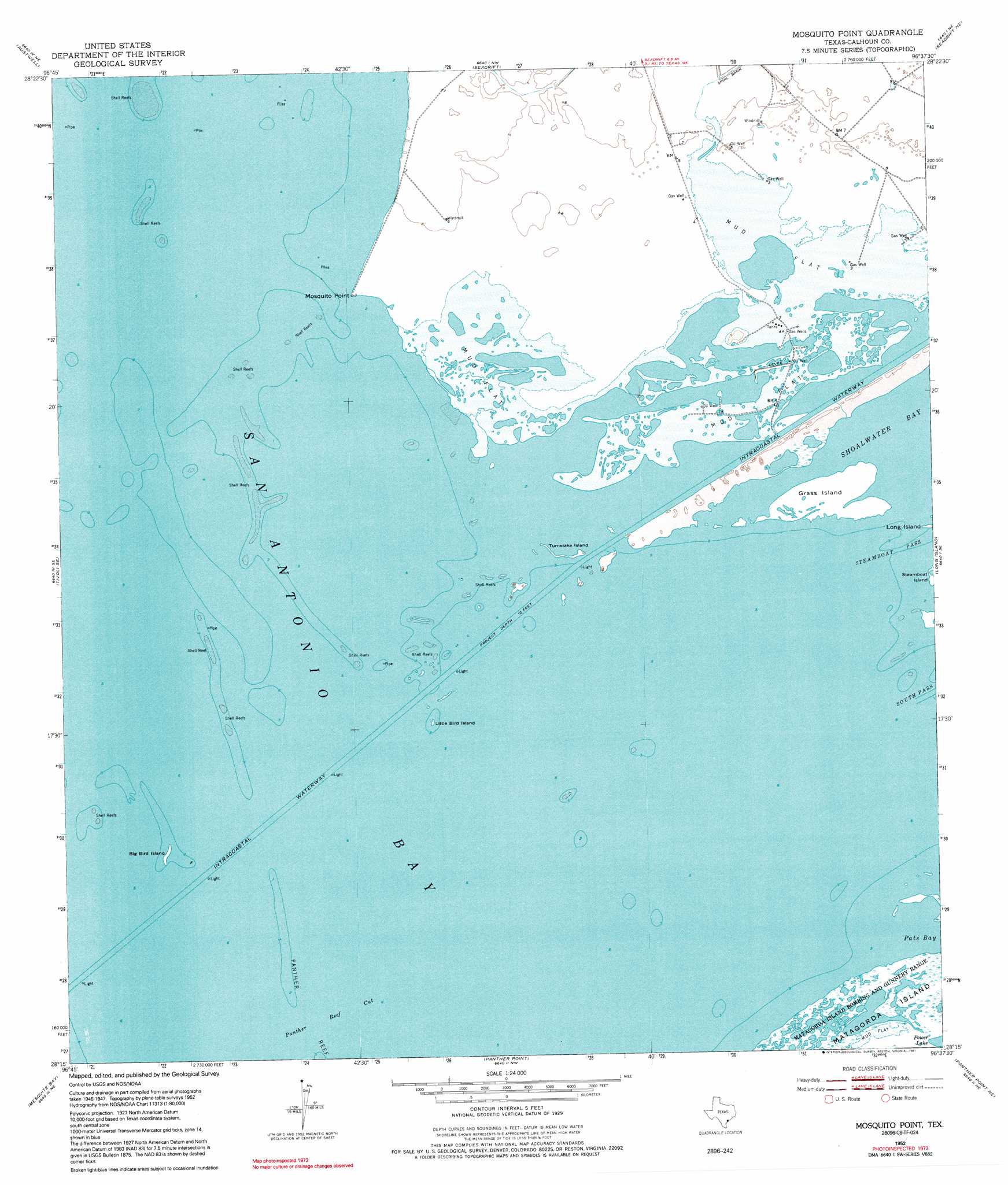
USGS Topo Quad 28096c6 - 1:24,000 scale
| Topo Map Name: | Mosquito Point |
| USGS Topo Quad ID: | 28096c6 |
| Print Size: | ca. 21 1/4" wide x 27" high |
| Southeast Coordinates: | 28.25° N latitude / 96.625° W longitude |
| Map Center Coordinates: | 28.3125° N latitude / 96.6875° W longitude |
| U.S. State: | TX |
| Filename: | o28096c6.jpg |
| Download Map JPG Image: | Mosquito Point topo map 1:24,000 scale |
| Map Type: | Topographic |
| Topo Series: | 7.5´ |
| Map Scale: | 1:24,000 |
| Source of Map Images: | United States Geological Survey (USGS) |
| Alternate Map Versions: |
Mosquito Point TX 1952, updated 1953 Download PDF Buy paper map Mosquito Point TX 1952, updated 1977 Download PDF Buy paper map Mosquito Point TX 1952, updated 1991 Download PDF Buy paper map Mosquito Point TX 2010 Download PDF Buy paper map Mosquito Point TX 2013 Download PDF Buy paper map Mosquito Point TX 2016 Download PDF Buy paper map |
1:24,000 Topo Quads surrounding Mosquito Point
Bloomington Sw |
Green Lake |
Port Lavaca West |
Port Lavaca East |
Keller Bay |
Tivoli |
Austwell |
Seadrift |
Seadrift Ne |
Port O'Connor |
Tivoli Sw |
Tivoli Se |
Mosquito Point |
Long Island |
Pass Cavallo Sw |
Saint Charles Bay |
Mesquite Bay |
Panther Point |
Panther Point Ne |
|
Saint Charles Bay Sw |
Saint Charles Bay Se |
> Back to 28096a1 at 1:100,000 scale
> Back to 28096a1 at 1:250,000 scale
> Back to U.S. Topo Maps home
Mosquito Point topo map: Gazetteer
Mosquito Point: Bays
San Antonio Bay elevation 0m 0′Mosquito Point: Capes
Mosquito Point elevation 1m 3′Mosquito Point: Channels
Panther Reef Cut elevation 0m 0′Mosquito Point: Islands
Big Bird Island elevation 1m 3′Grass Island elevation 1m 3′
Little Bird Island elevation 0m 0′
Turnstake Island elevation 0m 0′
Mosquito Point: Parks
Welder Flats Wildlife Management Area elevation 3m 9′Mosquito Point digital topo map on disk
Buy this Mosquito Point topo map showing relief, roads, GPS coordinates and other geographical features, as a high-resolution digital map file on DVD: