Lake Tambour Topo Map Louisiana
To zoom in, hover over the map of Lake Tambour
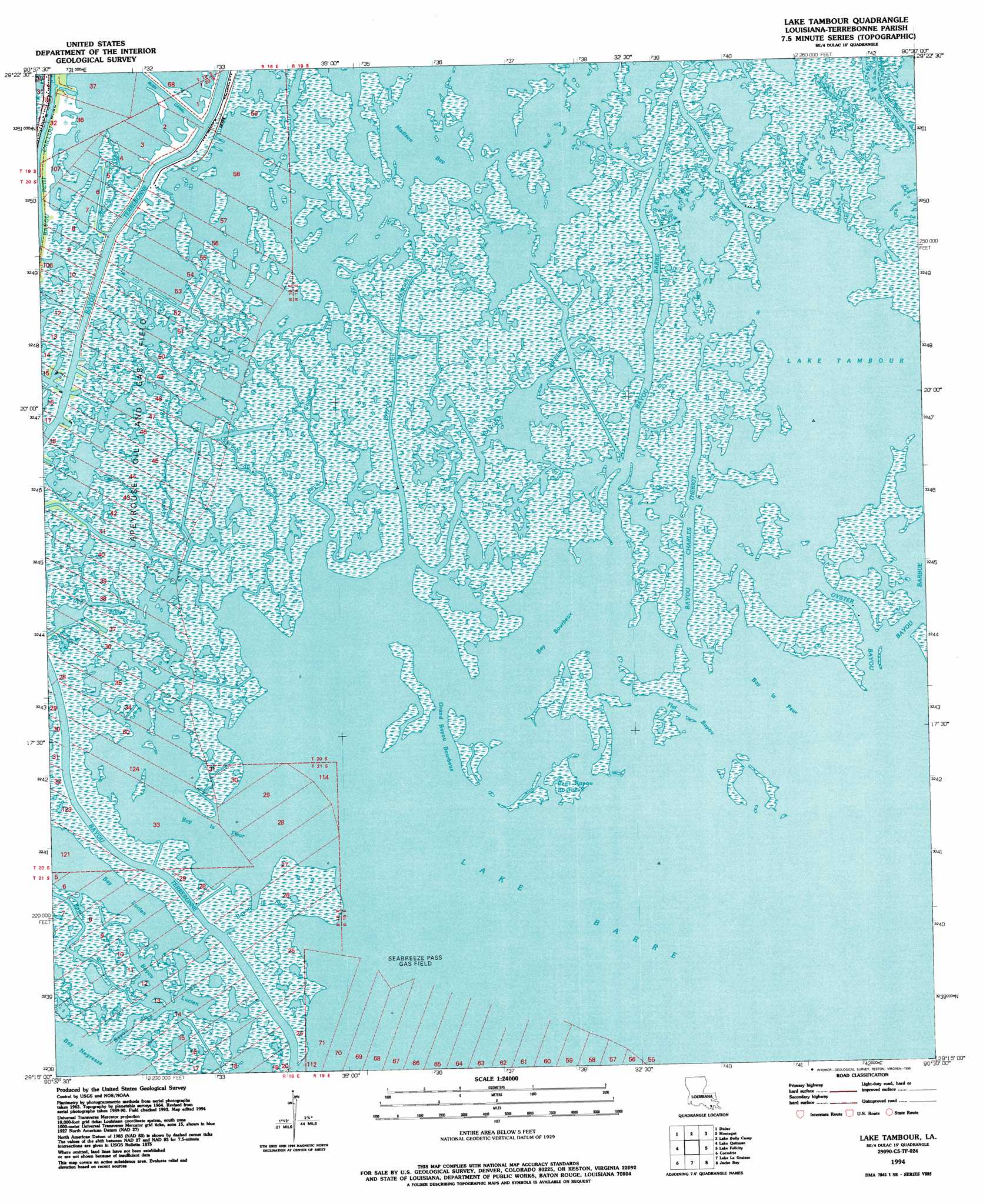
USGS Topo Quad 29090c5 - 1:24,000 scale
| Topo Map Name: | Lake Tambour |
| USGS Topo Quad ID: | 29090c5 |
| Print Size: | ca. 21 1/4" wide x 27" high |
| Southeast Coordinates: | 29.25° N latitude / 90.5° W longitude |
| Map Center Coordinates: | 29.3125° N latitude / 90.5625° W longitude |
| U.S. State: | LA |
| Filename: | o29090c5.jpg |
| Download Map JPG Image: | Lake Tambour topo map 1:24,000 scale |
| Map Type: | Topographic |
| Topo Series: | 7.5´ |
| Map Scale: | 1:24,000 |
| Source of Map Images: | United States Geological Survey (USGS) |
| Alternate Map Versions: |
Lake Tambour LA 1964, updated 1965 Download PDF Buy paper map Lake Tambour LA 1964, updated 1976 Download PDF Buy paper map Lake Tambour LA 1964, updated 1981 Download PDF Buy paper map Lake Tambour LA 1964, updated 1984 Download PDF Buy paper map Lake Tambour LA 1994, updated 1995 Download PDF Buy paper map Lake Tambour LA 2012 Download PDF Buy paper map Lake Tambour LA 2015 Download PDF Buy paper map |
1:24,000 Topo Quads surrounding Lake Tambour
Humphreys |
Houma |
Bourg |
Larose |
Cut Off |
Lake Theriot |
Dulac |
Montegut |
Lake Bully Camp |
Golden Meadow |
Bayou Sauveur |
Lake Quitman |
Lake Tambour |
Lake Felicity |
Bay Courant |
Dog Lake |
Cocodrie |
Lake La Graisse |
Jacko Bay |
Pelican Pass |
Central Isles Derniere |
Eastern Isles Dernieres |
Cat Island Pass |
Timbalier Island |
Calumet Island |
> Back to 29090a1 at 1:100,000 scale
> Back to 29090a1 at 1:250,000 scale
> Back to U.S. Topo Maps home
Lake Tambour topo map: Gazetteer
Lake Tambour: Bays
Lake Tambour elevation 0m 0′Lake Tambour: Canals
Bush Canal elevation 0m 0′Lake Tambour: Guts
Bayou Charles Theriot elevation 0m 0′Bayou Chitigue elevation -1m -4′
Bayou Chouvere elevation 1m 3′
Bayou de l' Ouest elevation 1m 3′
Bayou de Mangue elevation 0m 0′
Bayou du Cougrant elevation -1m -4′
Bayou Duferene elevation 0m 0′
Bayou Jack elevation 0m 0′
Bayou la Fleur elevation 0m 0′
Bayou Lucien elevation 1m 3′
Bayou Portage elevation 1m 3′
Flat Bayou elevation 0m 0′
Grand Bayou elevation 0m 0′
Grand Bayou Bourbeux elevation 0m 0′
Petit Bayou Bourbeux elevation 0m 0′
Lake Tambour: Lakes
Bay Bourbeux elevation 0m 0′Bay la Fleur elevation 0m 0′
Bay la Peur elevation 0m 0′
Bay Lucien elevation 0m 0′
Bay Negresse elevation 0m 0′
Lake Barre elevation 0m 0′
Lake Tambour: Oilfields
Seabreeze Pass Gas Field elevation 0m 0′Lake Tambour: Streams
Bayou Barre elevation 0m 0′Bayou La Cache elevation 0m 0′
Bayou Tambour elevation 0m 0′
Oyster Bayou elevation 0m 0′
Lake Tambour digital topo map on disk
Buy this Lake Tambour topo map showing relief, roads, GPS coordinates and other geographical features, as a high-resolution digital map file on DVD: