Bayou Sauveur Topo Map Louisiana
To zoom in, hover over the map of Bayou Sauveur
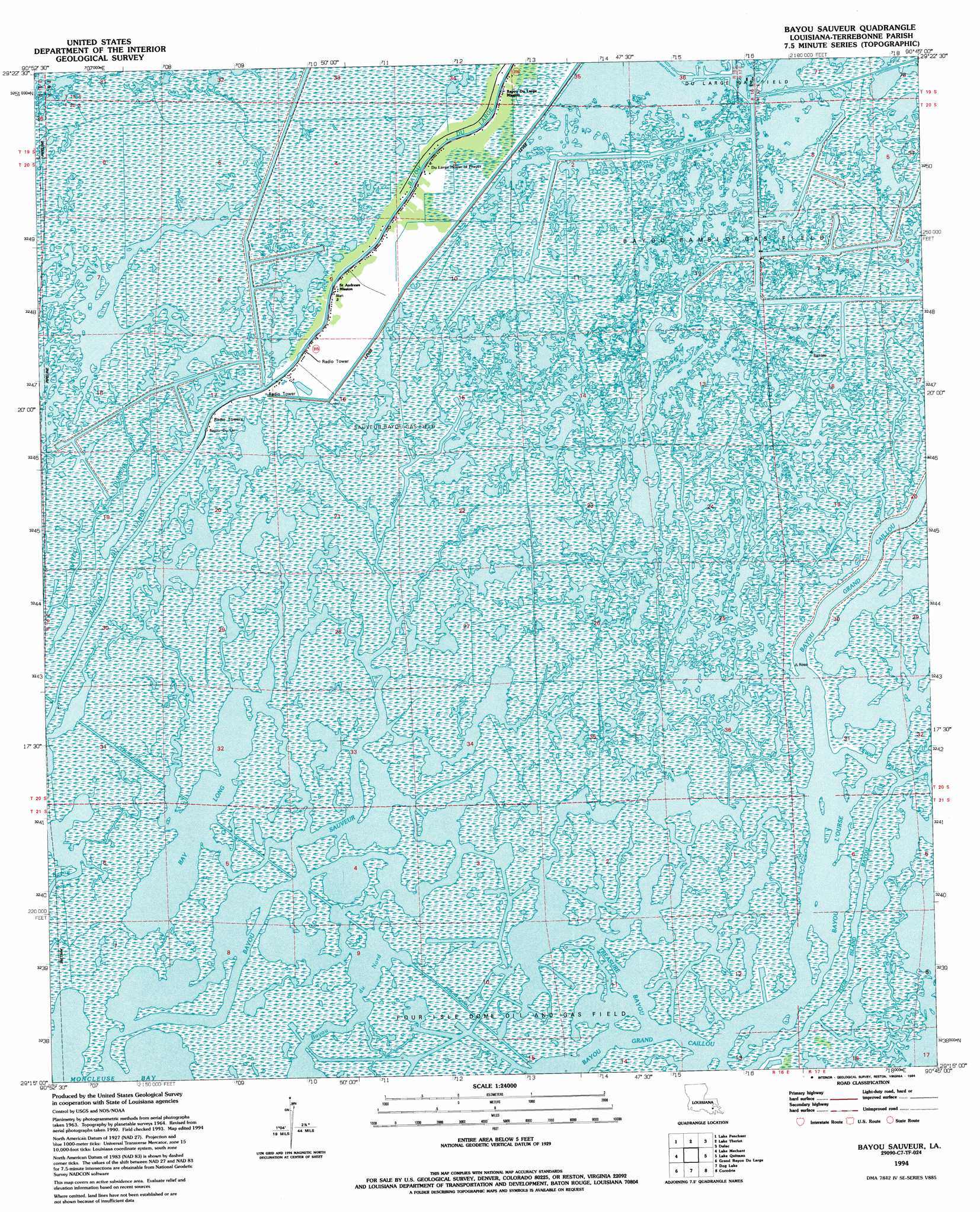
USGS Topo Quad 29090c7 - 1:24,000 scale
| Topo Map Name: | Bayou Sauveur |
| USGS Topo Quad ID: | 29090c7 |
| Print Size: | ca. 21 1/4" wide x 27" high |
| Southeast Coordinates: | 29.25° N latitude / 90.75° W longitude |
| Map Center Coordinates: | 29.3125° N latitude / 90.8125° W longitude |
| U.S. State: | LA |
| Filename: | o29090c7.jpg |
| Download Map JPG Image: | Bayou Sauveur topo map 1:24,000 scale |
| Map Type: | Topographic |
| Topo Series: | 7.5´ |
| Map Scale: | 1:24,000 |
| Source of Map Images: | United States Geological Survey (USGS) |
| Alternate Map Versions: |
Bayou Sauveur LA 1964 Download PDF Buy paper map Bayou Sauveur LA 1964, updated 1965 Download PDF Buy paper map Bayou Sauveur LA 1964, updated 1975 Download PDF Buy paper map Bayou Sauveur LA 1994, updated 1994 Download PDF Buy paper map Bayou Sauveur LA 2012 Download PDF Buy paper map Bayou Sauveur LA 2015 Download PDF Buy paper map |
1:24,000 Topo Quads surrounding Bayou Sauveur
Morgan City Se |
Bayou Cocodrie |
Humphreys |
Houma |
Bourg |
Carencro Bayou |
Lake Penchant |
Lake Theriot |
Dulac |
Montegut |
Lost Lake |
Lake Mechant |
Bayou Sauveur |
Lake Quitman |
Lake Tambour |
East Bay Junop |
Grand Bayou Du Large |
Dog Lake |
Cocodrie |
Lake La Graisse |
Western Isles Dernieres |
Central Isles Derniere |
Eastern Isles Dernieres |
Cat Island Pass |
> Back to 29090a1 at 1:100,000 scale
> Back to 29090a1 at 1:250,000 scale
> Back to U.S. Topo Maps home
Bayou Sauveur topo map: Gazetteer
Bayou Sauveur: Canals
Fohs Canal elevation 0m 0′Bayou Sauveur: Guts
Bayou du Nord elevation 1m 3′Bayou l'Ourse elevation 0m 0′
Bayou Rambio elevation 1m 3′
Bayou Sauveur elevation 0m 0′
Four Island Bayou elevation 0m 0′
Lewis Bayou elevation 0m 0′
Little Lewis Bayou elevation 1m 3′
Mound Bayou elevation 0m 0′
Treasure Bayou elevation 0m 0′
Bayou Sauveur: Lakes
Bay Long elevation 0m 0′Bayou Sauveur: Oilfields
Bayou Rambio Oil and Gas Field elevation 0m 0′Sauveur Bayou Gas Field elevation 0m 0′
Bayou Sauveur digital topo map on disk
Buy this Bayou Sauveur topo map showing relief, roads, GPS coordinates and other geographical features, as a high-resolution digital map file on DVD: