Three Bayou Bay Topo Map Louisiana
To zoom in, hover over the map of Three Bayou Bay
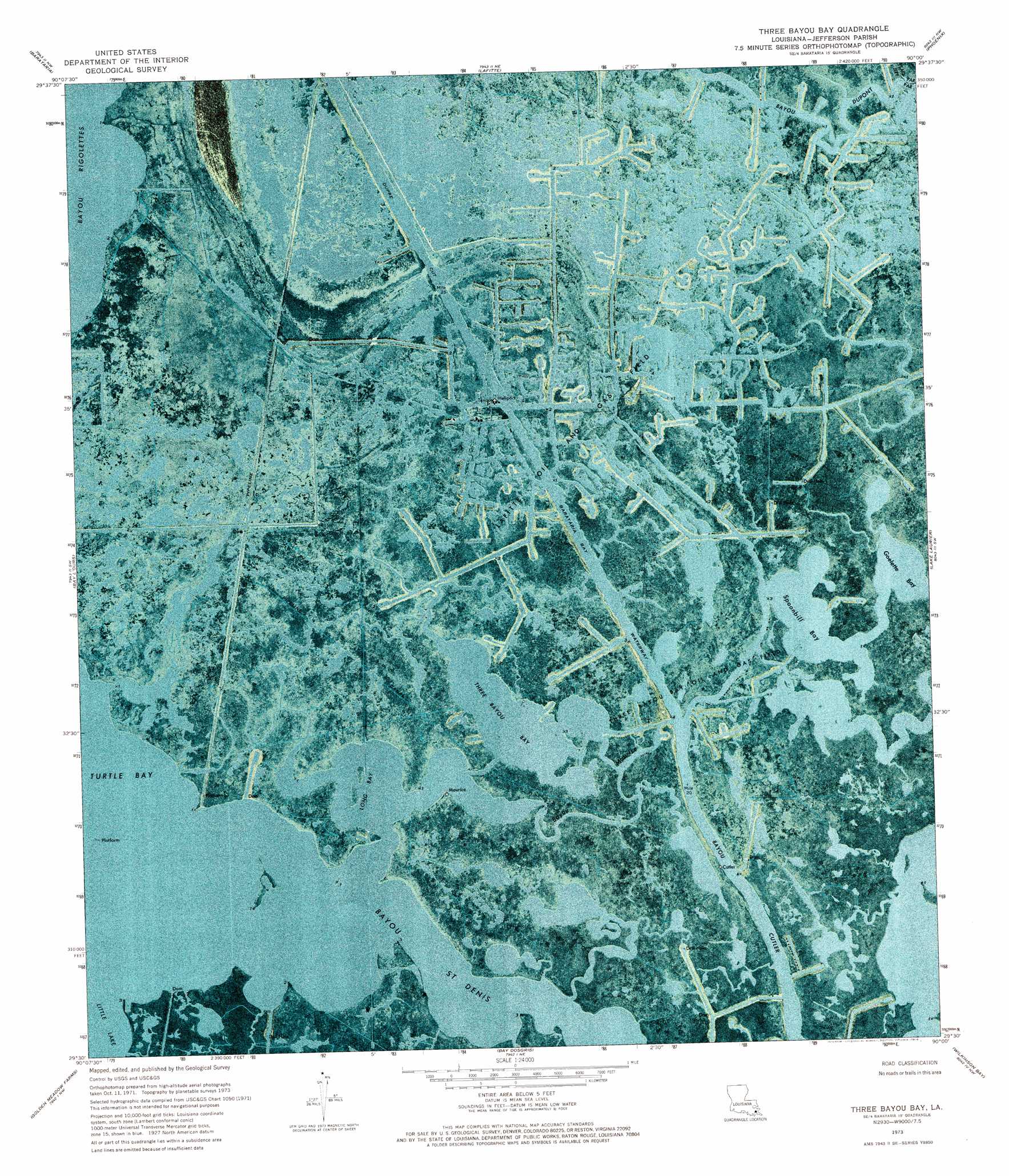
USGS Topo Quad 29090e1 - 1:24,000 scale
| Topo Map Name: | Three Bayou Bay |
| USGS Topo Quad ID: | 29090e1 |
| Print Size: | ca. 21 1/4" wide x 27" high |
| Southeast Coordinates: | 29.5° N latitude / 90° W longitude |
| Map Center Coordinates: | 29.5625° N latitude / 90.0625° W longitude |
| U.S. State: | LA |
| Filename: | p29090e1.jpg |
| Download Map JPG Image: | Three Bayou Bay topo map 1:24,000 scale |
| Map Type: | Orthophoto |
| Topo Series: | 7.5´ |
| Map Scale: | 1:24,000 |
| Source of Map Images: | United States Geological Survey (USGS) |
| Alternate Map Versions: |
Three Bayou Bay LA 1973, updated 1976 Download PDF Buy paper map Three Bayou Bay LA 1998, updated 2001 Download PDF Buy paper map Three Bayou Bay LA 2012 Download PDF Buy paper map Three Bayou Bay LA 2015 Download PDF Buy paper map |
1:24,000 Topo Quads surrounding Three Bayou Bay
Lake Cataouatche West |
Lake Cataouatche East |
Bertrandville |
Belle Chasse |
Delacroix |
Catahoula Bay |
Barataria |
Lafitte |
Phoenix |
Lake Batola |
Cut Off |
Bay L'Ours |
Three Bayou Bay |
Lake Laurier |
Pointe A La Hache |
Golden Meadow |
Golden Meadow Farms |
Bay Dosgris |
Wilkinson Bay |
Bay Batiste |
Bay Courant |
Mink Bayou |
Bay Tambour |
Barataria Pass |
Bay Ronquille |
> Back to 29090e1 at 1:100,000 scale
> Back to 29090a1 at 1:250,000 scale
> Back to U.S. Topo Maps home
Three Bayou Bay topo map: Gazetteer
Three Bayou Bay: Channels
Dupre Cut elevation 0m 0′Three Bayou Bay: Guts
Bayou Cutler elevation 0m 0′Bayou Maurice elevation 0m 0′
Bayou Saint Denis elevation 0m 0′
Three Bayou Bay: Lakes
Goelette Bay elevation 0m 0′Long Bay elevation 0m 0′
Spoonbill Bay elevation 0m 0′
Three Bayou Bay elevation 0m 0′
Three Bayou Bay: Oilfields
Lafitte Oil and Gas Field elevation 0m 0′Three Bayou Bay Oil and Gas Field elevation 1m 3′
Three Bayou Bay digital topo map on disk
Buy this Three Bayou Bay topo map showing relief, roads, GPS coordinates and other geographical features, as a high-resolution digital map file on DVD: