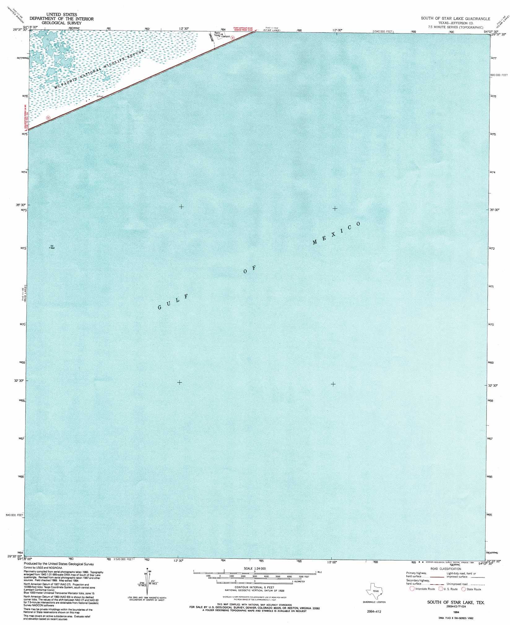
South Of Star Lake Topo Map Texas
To zoom in, hover over the map of South Of Star Lake
USGS Topo Quad 29094e2 - 1:24,000 scale
| Topo Map Name: | South Of Star Lake |
| USGS Topo Quad ID: | 29094e2 |
| Print Size: | ca. 21 1/4" wide x 27" high |
| Southeast Coordinates: | 29.5° N latitude / 94.125° W longitude |
| Map Center Coordinates: | 29.5625° N latitude / 94.1875° W longitude |
| U.S. State: | TX |
| Filename: | o29094e2.jpg |
| Download Map JPG Image: | South Of Star Lake topo map 1:24,000 scale |
| Map Type: | Topographic |
| Topo Series: | 7.5´ |
| Map Scale: | 1:24,000 |
| Source of Map Images: | United States Geological Survey (USGS) |
| Alternate Map Versions: |
South of Star Lake TX 1962, updated 1964 Download PDF Buy paper map South of Star Lake TX 1962, updated 1978 Download PDF Buy paper map South of Star Lake TX 1994, updated 1994 Download PDF Buy paper map South of Star Lake TX 2010 Download PDF Buy paper map South of Star Lake TX 2013 Download PDF Buy paper map South of Star Lake TX 2016 Download PDF Buy paper map |
1:24,000 Topo Quads surrounding South Of Star Lake
Stowell |
Hamshire |
Alligator Hole Marsh |
Big Hill Bayou |
Port Arthur South |
Stanolind Reservoir |
Whites Ranch |
Star Lake |
Clam Lake |
Sabine Pass |
High Island |
Mud Lake |
South Of Star Lake |
||
> Back to 29094e1 at 1:100,000 scale
> Back to 29094a1 at 1:250,000 scale
> Back to U.S. Topo Maps home
South Of Star Lake topo map: Gazetteer
South Of Star Lake: Airports
Arco High Island Heliport elevation 2m 6′South Of Star Lake digital topo map on disk
Buy this South Of Star Lake topo map showing relief, roads, GPS coordinates and other geographical features, as a high-resolution digital map file on DVD: