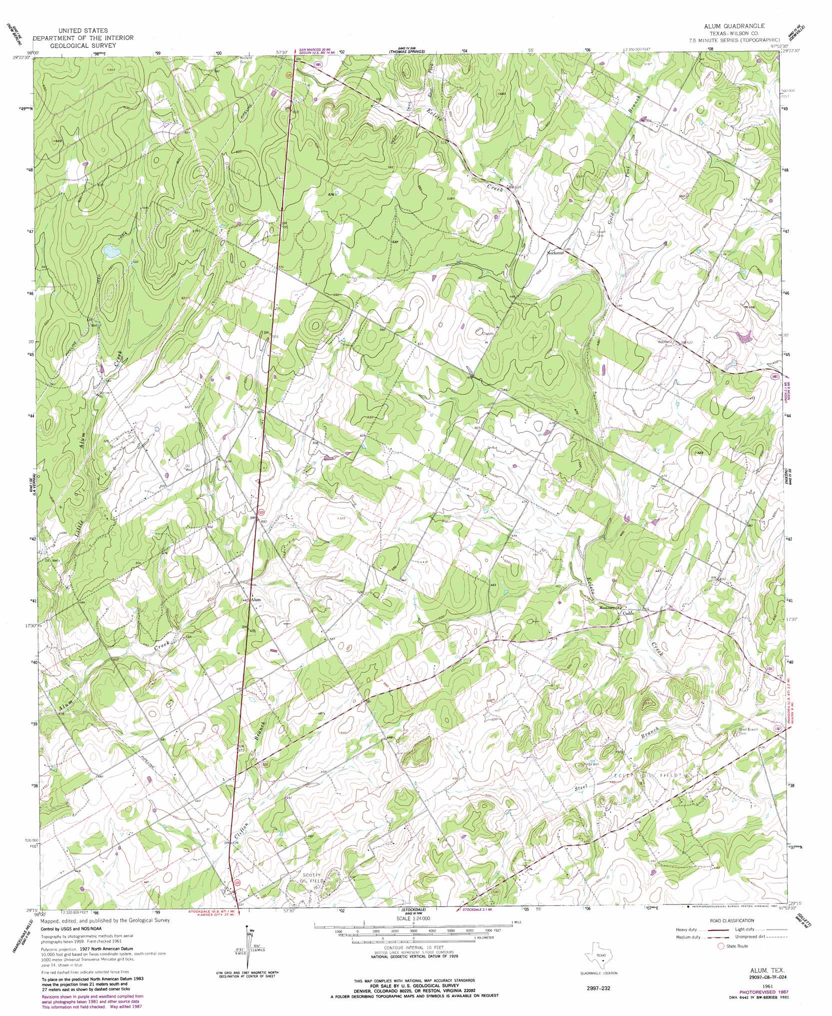
Alum Topo Map Texas
To zoom in, hover over the map of Alum
USGS Topo Quad 29097c8 - 1:24,000 scale
| Topo Map Name: | Alum |
| USGS Topo Quad ID: | 29097c8 |
| Print Size: | ca. 21 1/4" wide x 27" high |
| Southeast Coordinates: | 29.25° N latitude / 97.875° W longitude |
| Map Center Coordinates: | 29.3125° N latitude / 97.9375° W longitude |
| U.S. State: | TX |
| Filename: | o29097c8.jpg |
| Download Map JPG Image: | Alum topo map 1:24,000 scale |
| Map Type: | Topographic |
| Topo Series: | 7.5´ |
| Map Scale: | 1:24,000 |
| Source of Map Images: | United States Geological Survey (USGS) |
| Alternate Map Versions: |
Alum TX 1961, updated 1963 Download PDF Buy paper map Alum TX 1961, updated 1987 Download PDF Buy paper map Alum TX 2010 Download PDF Buy paper map Alum TX 2013 Download PDF Buy paper map Alum TX 2016 Download PDF Buy paper map |
1:24,000 Topo Quads surrounding Alum
Marion |
Mcqueeney |
Seguin |
Darst Creek |
Belmont |
Saint Hedwig |
New Berlin |
Thomas Springs |
Dewville |
Leesville |
La Vernia Sw |
La Vernia |
Alum |
Nixon |
Smiley |
Floresville |
Marcelinas Hills |
Stockdale |
Gillett |
Bald Mound |
Dewees |
Poth |
Kosciusko |
Ecleto |
Garfield |
> Back to 29097a1 at 1:100,000 scale
> Back to 29096a1 at 1:250,000 scale
> Back to U.S. Topo Maps home
Alum topo map: Gazetteer
Alum: Oilfields
Ecleto Oil Field elevation 146m 479′Scotty Oil Field elevation 149m 488′
Alum: Populated Places
Alum elevation 147m 482′Caddo elevation 137m 449′
Nockenut elevation 152m 498′
Alum: Streams
East Fork Ecleto Creek elevation 160m 524′Gold Pool Branch elevation 143m 469′
Little Alum Creek elevation 127m 416′
Steel Branch elevation 131m 429′
Alum digital topo map on disk
Buy this Alum topo map showing relief, roads, GPS coordinates and other geographical features, as a high-resolution digital map file on DVD: