Elm Mountain Topo Map Texas
To zoom in, hover over the map of Elm Mountain
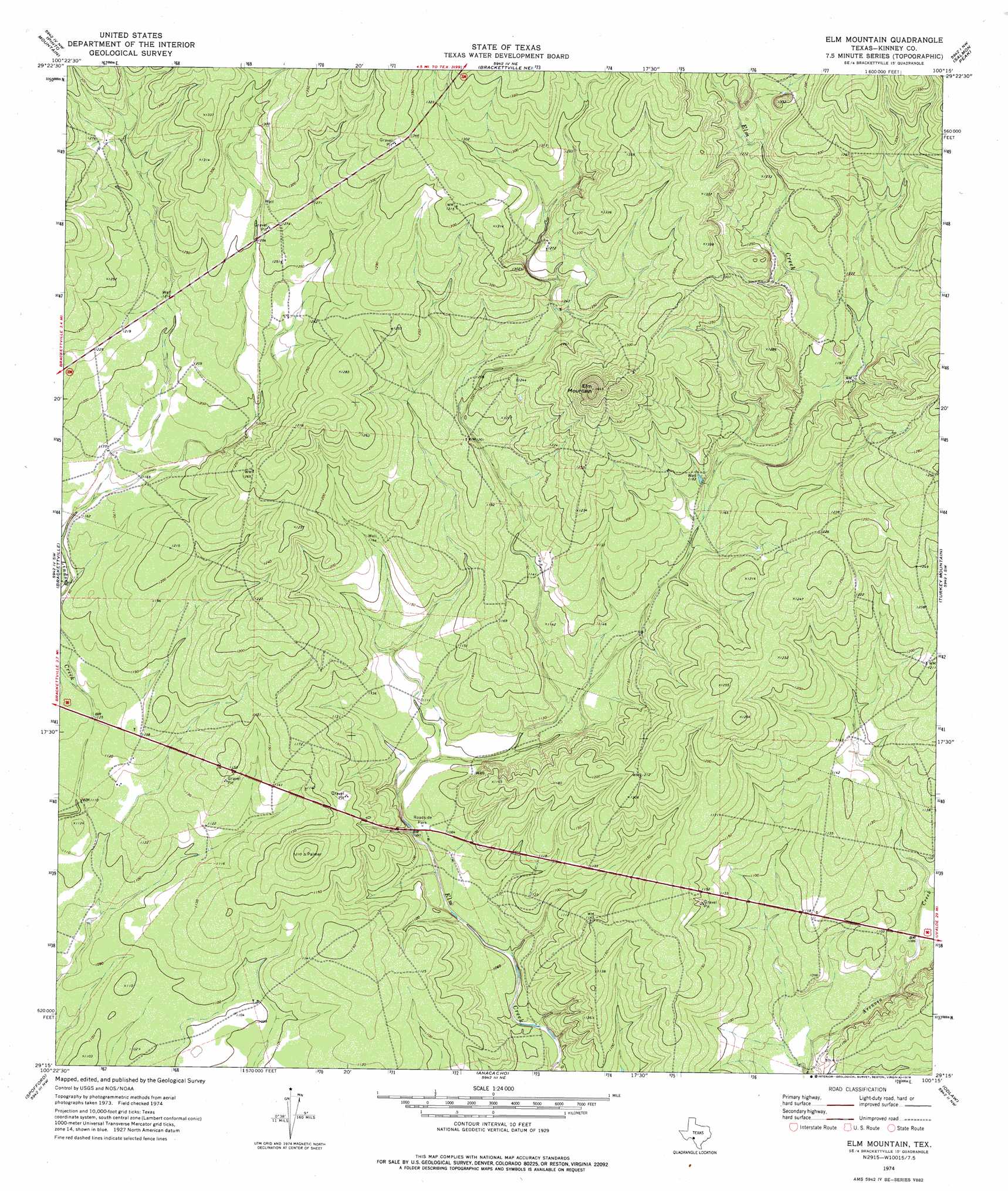
USGS Topo Quad 29100c3 - 1:24,000 scale
| Topo Map Name: | Elm Mountain |
| USGS Topo Quad ID: | 29100c3 |
| Print Size: | ca. 21 1/4" wide x 27" high |
| Southeast Coordinates: | 29.25° N latitude / 100.25° W longitude |
| Map Center Coordinates: | 29.3125° N latitude / 100.3125° W longitude |
| U.S. State: | TX |
| Filename: | o29100c3.jpg |
| Download Map JPG Image: | Elm Mountain topo map 1:24,000 scale |
| Map Type: | Topographic |
| Topo Series: | 7.5´ |
| Map Scale: | 1:24,000 |
| Source of Map Images: | United States Geological Survey (USGS) |
| Alternate Map Versions: |
Elm Mountain TX 1974, updated 1976 Download PDF Buy paper map Elm Mountain TX 2010 Download PDF Buy paper map Elm Mountain TX 2012 Download PDF Buy paper map Elm Mountain TX 2016 Download PDF Buy paper map |
1:24,000 Topo Quads surrounding Elm Mountain
Flat Rock Creek South |
Kickapoo Caverns |
Silver Lake |
Bull Waterhole |
Montell |
Mud Springs |
Pinto Mountain |
Brackettville Ne |
Salmon Peak |
Laguna |
Standart |
Brackettville |
Elm Mountain |
Turkey Mountain |
Mustang Waterhole |
Tequesquite Creek Ne |
Spofford |
Anacacho |
Odlaw |
Cline |
Tequesquite Spring |
Imperialist Tank |
Peloncillo Peak |
Goofy Lake |
Olmos Creek |
> Back to 29100a1 at 1:100,000 scale
> Back to 29100a1 at 1:250,000 scale
> Back to U.S. Topo Maps home
Elm Mountain digital topo map on disk
Buy this Elm Mountain topo map showing relief, roads, GPS coordinates and other geographical features, as a high-resolution digital map file on DVD: