Yellow House Peak Topo Map Texas
To zoom in, hover over the map of Yellow House Peak
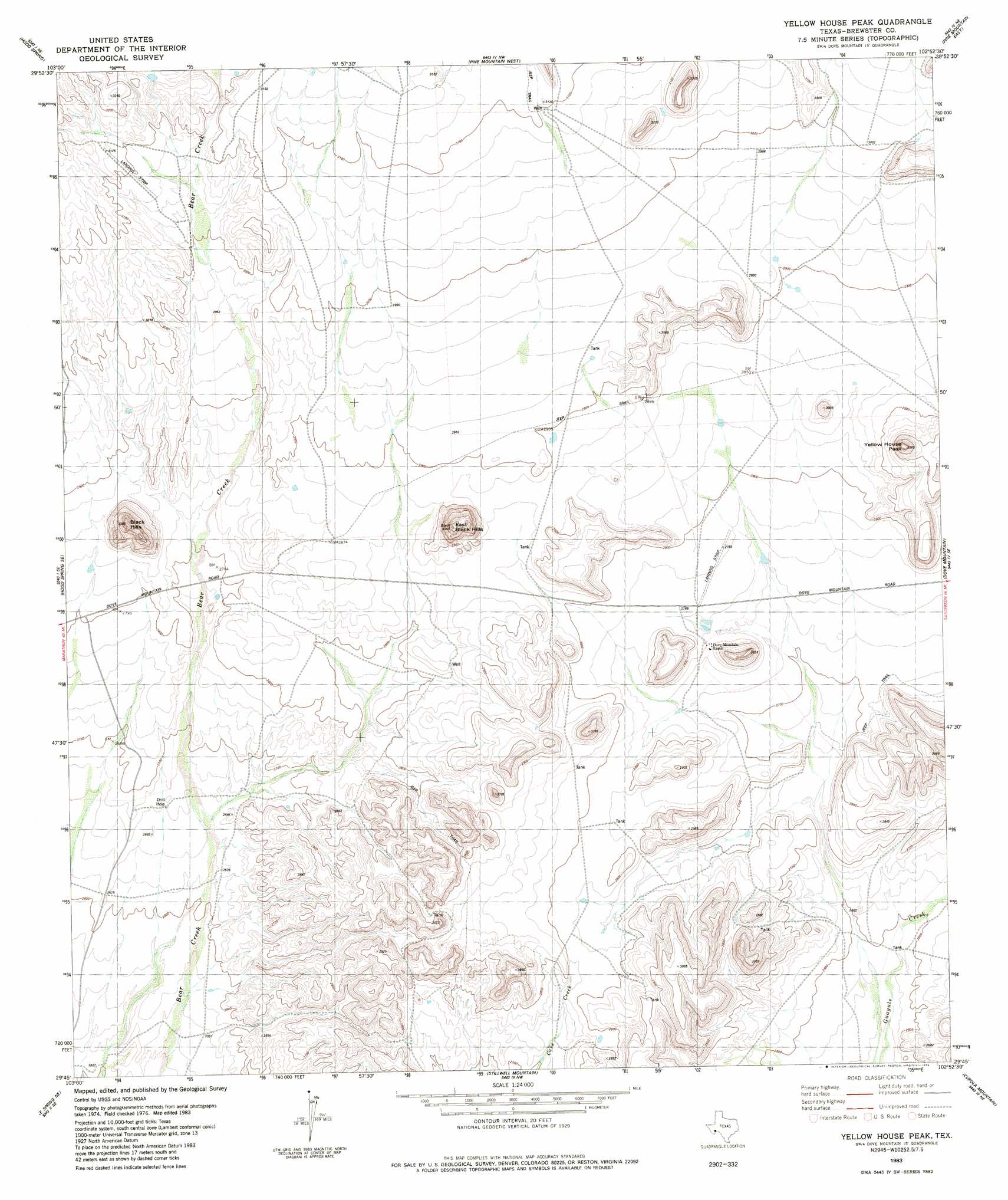
USGS Topo Quad 29102g8 - 1:24,000 scale
| Topo Map Name: | Yellow House Peak |
| USGS Topo Quad ID: | 29102g8 |
| Print Size: | ca. 21 1/4" wide x 27" high |
| Southeast Coordinates: | 29.75° N latitude / 102.875° W longitude |
| Map Center Coordinates: | 29.8125° N latitude / 102.9375° W longitude |
| U.S. State: | TX |
| Filename: | o29102g8.jpg |
| Download Map JPG Image: | Yellow House Peak topo map 1:24,000 scale |
| Map Type: | Topographic |
| Topo Series: | 7.5´ |
| Map Scale: | 1:24,000 |
| Source of Map Images: | United States Geological Survey (USGS) |
| Alternate Map Versions: |
Yellow House Peak TX 1983, updated 1984 Download PDF Buy paper map Yellow House Peak TX 2010 Download PDF Buy paper map Yellow House Peak TX 2013 Download PDF Buy paper map Yellow House Peak TX 2016 Download PDF Buy paper map |
1:24,000 Topo Quads surrounding Yellow House Peak
Pena Blanca Mountains |
Horse Mountain |
Tesnus |
Tesnus Se |
Fresno Creek |
Heart Mountain |
Hood Spring |
Pine Mountain West |
Pine Mountain East |
San Francisco Shutups |
Sosa Peak |
Hood Spring Se |
Yellow House Peak |
Dove Mountain |
Beef Gap |
Persimmon Gap |
Bone Spring Ne |
Stillwell Mountain |
Cupola Mountain |
Las Vegas De Los Ladrones |
Bone Spring |
Dagger Flat |
Black Gap |
Bourland Canyon |
Las Vegas De Los Ladrones Sw |
> Back to 29102e1 at 1:100,000 scale
> Back to 29102a1 at 1:250,000 scale
> Back to U.S. Topo Maps home
Yellow House Peak topo map: Gazetteer
Yellow House Peak: Airports
Mayhew Ranch Number 1 Airport elevation 845m 2772′Yellow House Peak: Summits
Black Hills elevation 1030m 3379′East Black Hills elevation 1003m 3290′
Yellow House Peak elevation 969m 3179′
Yellow House Peak digital topo map on disk
Buy this Yellow House Peak topo map showing relief, roads, GPS coordinates and other geographical features, as a high-resolution digital map file on DVD: