Twin Peaks Topo Map Texas
To zoom in, hover over the map of Twin Peaks
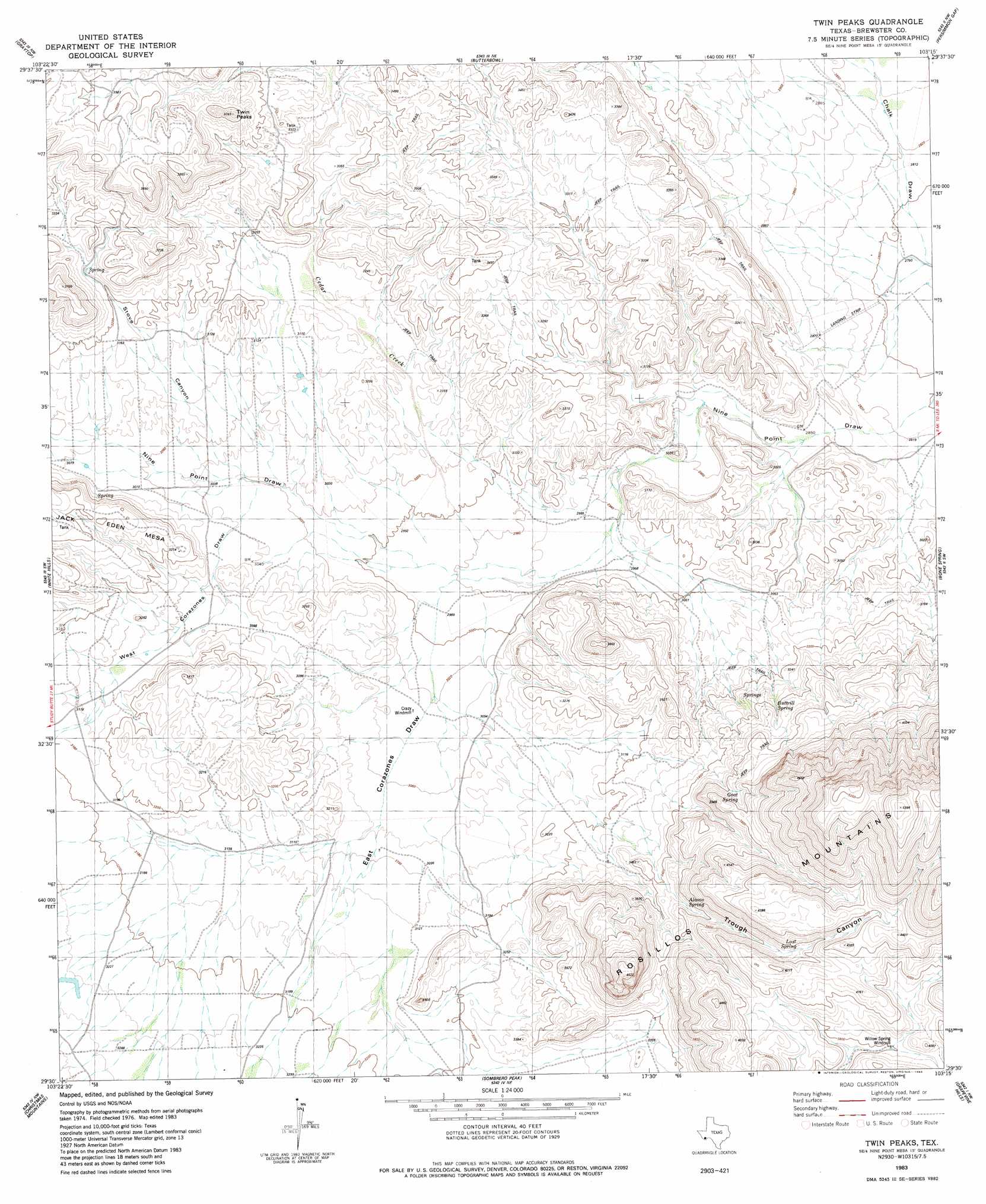
USGS Topo Quad 29103e3 - 1:24,000 scale
| Topo Map Name: | Twin Peaks |
| USGS Topo Quad ID: | 29103e3 |
| Print Size: | ca. 21 1/4" wide x 27" high |
| Southeast Coordinates: | 29.5° N latitude / 103.25° W longitude |
| Map Center Coordinates: | 29.5625° N latitude / 103.3125° W longitude |
| U.S. State: | TX |
| Filename: | o29103e3.jpg |
| Download Map JPG Image: | Twin Peaks topo map 1:24,000 scale |
| Map Type: | Topographic |
| Topo Series: | 7.5´ |
| Map Scale: | 1:24,000 |
| Source of Map Images: | United States Geological Survey (USGS) |
| Alternate Map Versions: |
Twin Peaks TX 1983, updated 1984 Download PDF Buy paper map Twin Peaks TX 2010 Download PDF Buy paper map Twin Peaks TX 2012 Download PDF Buy paper map Twin Peaks TX 2016 Download PDF Buy paper map |
1:24,000 Topo Quads surrounding Twin Peaks
Buck Hill |
Santiago Peak |
Ye Mesa |
Sosa Peak |
Hood Spring Se |
Dog Canyon |
Graytop |
Butterbowl |
Persimmon Gap |
Bone Spring Ne |
Packsaddle Mountain |
White Hills |
Twin Peaks |
Bone Spring |
Dagger Flat |
Hen Egg Mountain |
Christmas Mountains |
Sombero Peak |
Grapevine Hills |
Mckinney Springs |
Terlingua |
Tule Mountain |
The Basin |
Panther Junction |
Roys Peak |
> Back to 29103e1 at 1:100,000 scale
> Back to 29102a1 at 1:250,000 scale
> Back to U.S. Topo Maps home
Twin Peaks topo map: Gazetteer
Twin Peaks: Ranges
Chalk Mountains elevation 955m 3133′Twin Peaks: Springs
Alamo Spring elevation 1062m 3484′Buttrill Springs elevation 929m 3047′
Goat Spring elevation 1131m 3710′
Willow Spring elevation 1161m 3809′
Twin Peaks: Streams
Cedar Creek elevation 900m 2952′Twin Peaks: Summits
Twin Peaks elevation 1139m 3736′Twin Peaks: Valleys
East Corazones Draw elevation 910m 2985′Stove Canyon elevation 936m 3070′
Trough Canyon elevation 973m 3192′
West Corazones Draw elevation 929m 3047′
Twin Peaks digital topo map on disk
Buy this Twin Peaks topo map showing relief, roads, GPS coordinates and other geographical features, as a high-resolution digital map file on DVD: