South Of Holley Topo Map Florida
To zoom in, hover over the map of South Of Holley
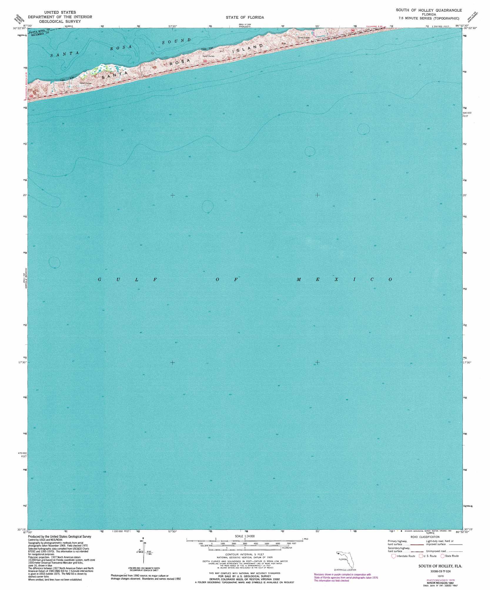
USGS Topo Quad 30086c8 - 1:24,000 scale
| Topo Map Name: | South Of Holley |
| USGS Topo Quad ID: | 30086c8 |
| Print Size: | ca. 21 1/4" wide x 27" high |
| Southeast Coordinates: | 30.25° N latitude / 86.875° W longitude |
| Map Center Coordinates: | 30.3125° N latitude / 86.9375° W longitude |
| U.S. State: | FL |
| Filename: | O30086C8.jpg |
| Download Map JPG Image: | South Of Holley topo map 1:24,000 scale |
| Map Type: | Topographic |
| Topo Series: | 7.5´ |
| Map Scale: | 1:24,000 |
| Source of Map Images: | United States Geological Survey (USGS) |
| Alternate Map Versions: |
South Of Holley FL 1970, updated 1972 Download PDF Buy paper map South Of Holley FL 1970, updated 1977 Download PDF Buy paper map South of Holley FL 1970, updated 1992 Download PDF Buy paper map South of Holley FL 2012 Download PDF Buy paper map South of Holley FL 2015 Download PDF Buy paper map |
1:24,000 Topo Quads surrounding South Of Holley
Pace |
Milton South |
Ward Basin |
Harold Se |
Holt Sw |
Pensacola |
Garcon Point |
Holley |
Navarre |
Mary Esther |
Gulf Breeze |
Oriole Beach |
South Of Holley |
||
> Back to 30086a1 at 1:100,000 scale
> Back to 30086a1 at 1:250,000 scale
> Back to U.S. Topo Maps home
South Of Holley digital topo map on disk
Buy this South Of Holley topo map showing relief, roads, GPS coordinates and other geographical features, as a high-resolution digital map file on DVD:
Gulf Coast (LA, MS, AL, FL) & Southwestern Georgia
Buy digital topo maps: Gulf Coast (LA, MS, AL, FL) & Southwestern Georgia
 & Southwestern Georgia map DVD")