Jacks Creek North Topo Map Texas
To zoom in, hover over the map of Jacks Creek North
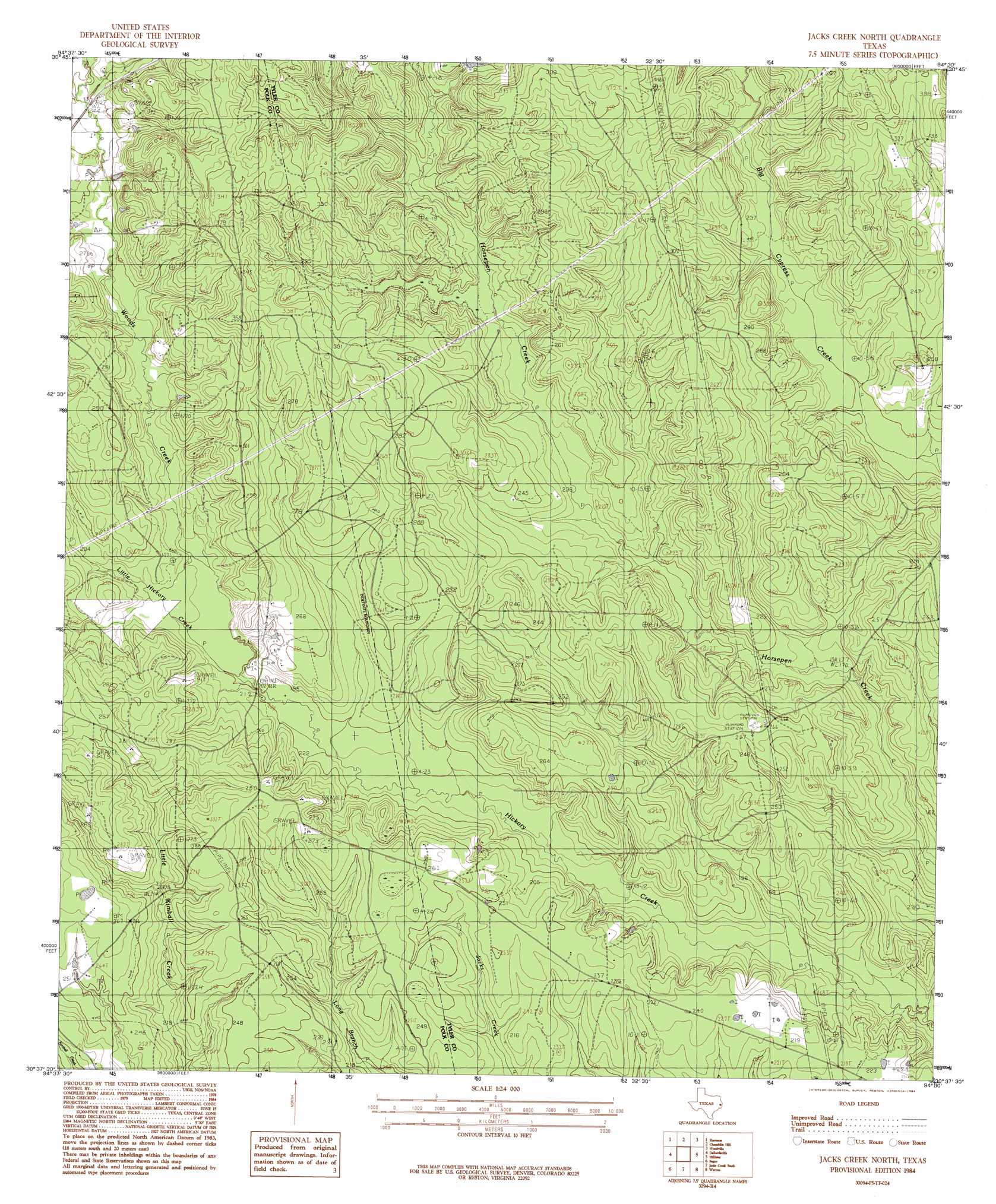
USGS Topo Quad 30094f5 - 1:24,000 scale
| Topo Map Name: | Jacks Creek North |
| USGS Topo Quad ID: | 30094f5 |
| Print Size: | ca. 21 1/4" wide x 27" high |
| Southeast Coordinates: | 30.625° N latitude / 94.5° W longitude |
| Map Center Coordinates: | 30.6875° N latitude / 94.5625° W longitude |
| U.S. State: | TX |
| Filename: | o30094f5.jpg |
| Download Map JPG Image: | Jacks Creek North topo map 1:24,000 scale |
| Map Type: | Topographic |
| Topo Series: | 7.5´ |
| Map Scale: | 1:24,000 |
| Source of Map Images: | United States Geological Survey (USGS) |
| Alternate Map Versions: |
Jacks Creek North TX 1984, updated 1984 Download PDF Buy paper map Jacks Creek North TX 2010 Download PDF Buy paper map Jacks Creek North TX 2013 Download PDF Buy paper map Jacks Creek North TX 2016 Download PDF Buy paper map |
1:24,000 Topo Quads surrounding Jacks Creek North
Corrigan |
Camden |
Chester |
Colmesneil |
Boggy Lake |
Leggett |
Hortense |
Chambliss Hill |
Woodville |
Birdwell Lake |
Soda |
Dallardsville |
Jacks Creek North |
Hillister |
Kirkpatrick Lake |
Schwab City |
Segno |
Jacks Creek South |
Warren |
Hicksbaugh |
Romayor |
Votaw |
Bragg |
Village Mills |
Kountze North |
> Back to 30094e1 at 1:100,000 scale
> Back to 30094a1 at 1:250,000 scale
> Back to U.S. Topo Maps home
Jacks Creek North topo map: Gazetteer
Jacks Creek North: Streams
Little Hickory Creek elevation 64m 209′Woods Creek elevation 64m 209′
Jacks Creek North digital topo map on disk
Buy this Jacks Creek North topo map showing relief, roads, GPS coordinates and other geographical features, as a high-resolution digital map file on DVD: