Nott Branch Topo Map Texas
To zoom in, hover over the map of Nott Branch
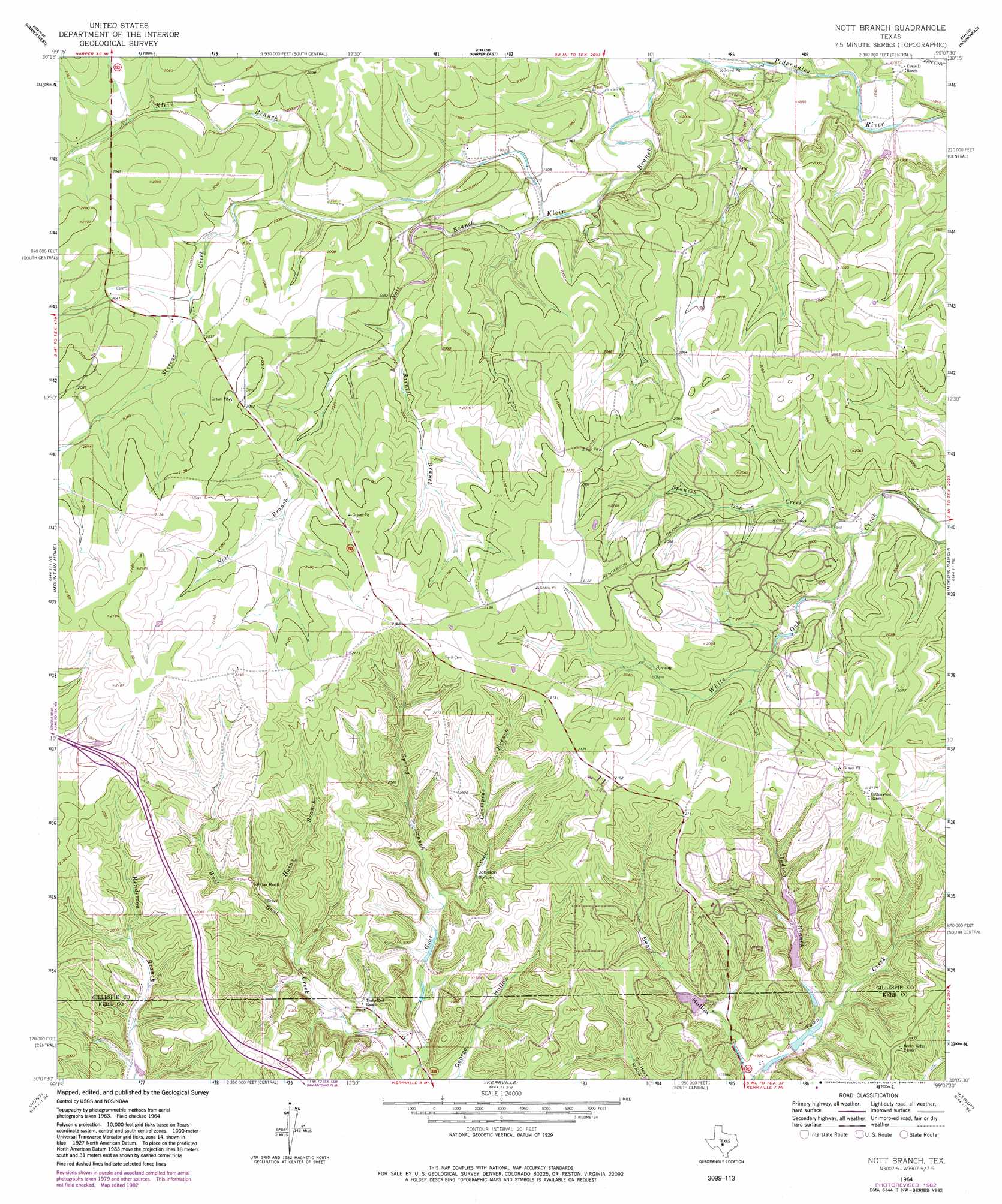
USGS Topo Quad 30099b2 - 1:24,000 scale
| Topo Map Name: | Nott Branch |
| USGS Topo Quad ID: | 30099b2 |
| Print Size: | ca. 21 1/4" wide x 27" high |
| Southeast Coordinates: | 30.125° N latitude / 99.125° W longitude |
| Map Center Coordinates: | 30.1875° N latitude / 99.1875° W longitude |
| U.S. State: | TX |
| Filename: | o30099b2.jpg |
| Download Map JPG Image: | Nott Branch topo map 1:24,000 scale |
| Map Type: | Topographic |
| Topo Series: | 7.5´ |
| Map Scale: | 1:24,000 |
| Source of Map Images: | United States Geological Survey (USGS) |
| Alternate Map Versions: |
Nott Branch TX 1964, updated 1966 Download PDF Buy paper map Nott Branch TX 1964, updated 1982 Download PDF Buy paper map Nott Branch TX 1964, updated 1982 Download PDF Buy paper map Nott Branch TX 2010 Download PDF Buy paper map Nott Branch TX 2012 Download PDF Buy paper map Nott Branch TX 2016 Download PDF Buy paper map |
1:24,000 Topo Quads surrounding Nott Branch
Noxville |
The Falls |
Doss |
Cherry Spring |
Cherry Mountain |
Old Noxville |
Harper West |
Harper East |
Roundhead |
Fredericksburg West |
Contrary Creek |
Mountain Home |
Nott Branch |
Morris Ranch |
Oak Crest Park |
Bee Caves Creek |
Hunt |
Kerrville |
Legion |
Cypress Creek |
Diamond S Ranch |
Echo Hill Ranch |
Fall Creek |
Center Point |
Comfort |
> Back to 30099a1 at 1:100,000 scale
> Back to 30098a1 at 1:250,000 scale
> Back to U.S. Topo Maps home
Nott Branch topo map: Gazetteer
Nott Branch: Airports
Tierra Linda Ranch Airport elevation 599m 1965′Nott Branch: Basins
Johnson Bottom elevation 573m 1879′Nott Branch: Dams
Poole Lake Dam elevation 601m 1971′Tierra Linda Lower Dam elevation 565m 1853′
Tierra Linda Upper Dam elevation 574m 1883′
Town Creek Dam Number 1 elevation 548m 1797′
Nott Branch: Pillars
Pillar Rock elevation 577m 1893′Nott Branch: Reservoirs
Poole Lake elevation 601m 1971′Tierra Linda Lower Reservoir elevation 565m 1853′
Tierra Linda Upper Reservoir elevation 574m 1883′
Town Creek Reservoir Number 1 elevation 548m 1797′
Nott Branch: Springs
Reid Springs elevation 612m 2007′Nott Branch: Streams
Barnett Branch elevation 600m 1968′Centipede Branch elevation 577m 1893′
Flag Creek elevation 555m 1820′
Hains Branch elevation 568m 1863′
Indian Branch elevation 552m 1811′
Klein Branch elevation 561m 1840′
North Creek elevation 548m 1797′
Nott Branch elevation 573m 1879′
Spanish Oak Creek elevation 583m 1912′
Spring Branch elevation 562m 1843′
Stevens Creek elevation 591m 1938′
Nott Branch: Valleys
Bear Hollow elevation 545m 1788′Nott Branch digital topo map on disk
Buy this Nott Branch topo map showing relief, roads, GPS coordinates and other geographical features, as a high-resolution digital map file on DVD: