Contrary Creek Topo Map Texas
To zoom in, hover over the map of Contrary Creek
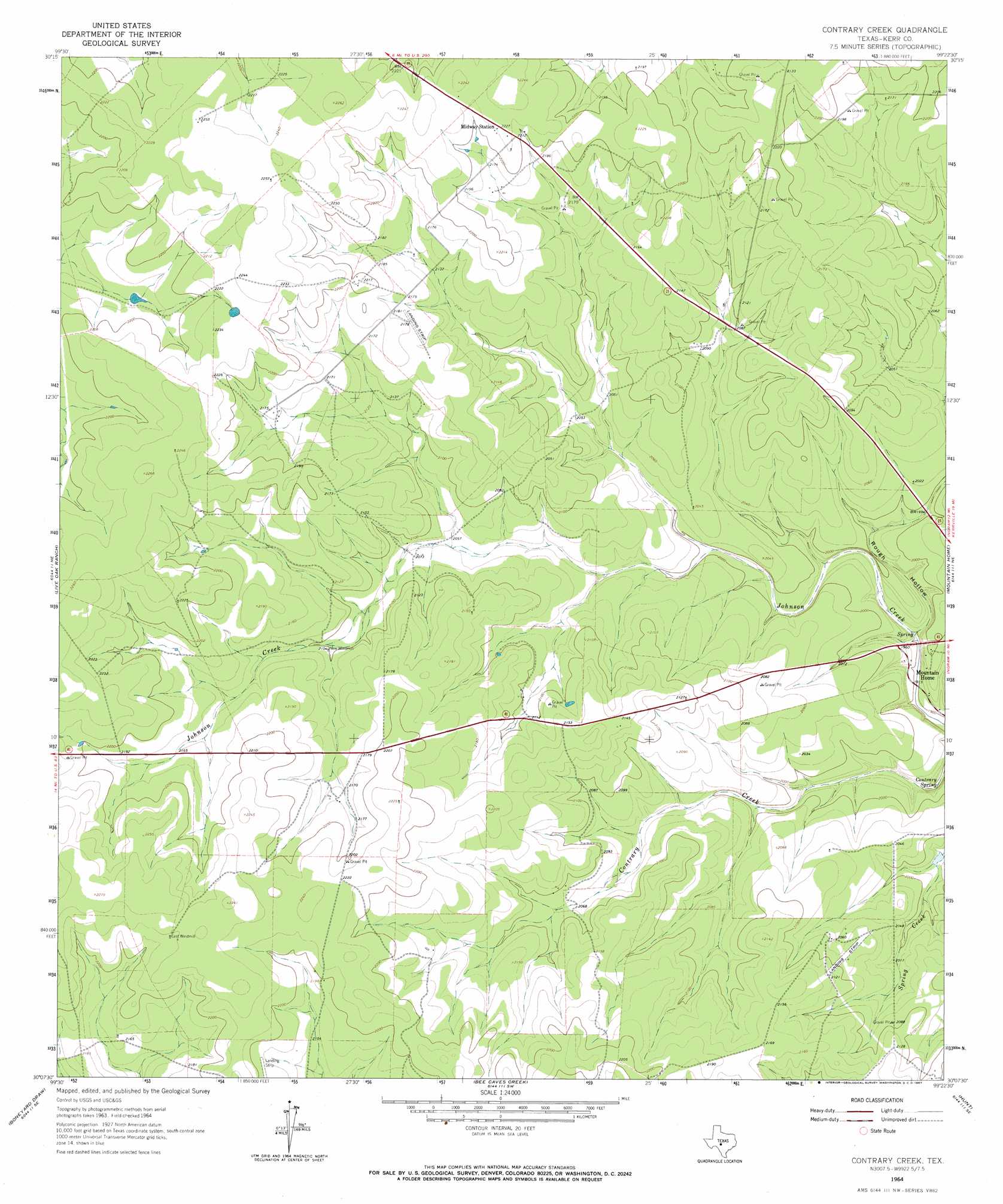
USGS Topo Quad 30099b4 - 1:24,000 scale
| Topo Map Name: | Contrary Creek |
| USGS Topo Quad ID: | 30099b4 |
| Print Size: | ca. 21 1/4" wide x 27" high |
| Southeast Coordinates: | 30.125° N latitude / 99.375° W longitude |
| Map Center Coordinates: | 30.1875° N latitude / 99.4375° W longitude |
| U.S. State: | TX |
| Filename: | o30099b4.jpg |
| Download Map JPG Image: | Contrary Creek topo map 1:24,000 scale |
| Map Type: | Topographic |
| Topo Series: | 7.5´ |
| Map Scale: | 1:24,000 |
| Source of Map Images: | United States Geological Survey (USGS) |
| Alternate Map Versions: |
Contrary Creek TX 1964, updated 1967 Download PDF Buy paper map Contrary Creek TX 2010 Download PDF Buy paper map Contrary Creek TX 2012 Download PDF Buy paper map Contrary Creek TX 2016 Download PDF Buy paper map |
1:24,000 Topo Quads surrounding Contrary Creek
Segovia |
Tobe Branch |
Noxville |
The Falls |
Doss |
Allen Creek |
Mudge Draw |
Old Noxville |
Harper West |
Harper East |
Y O Ranch |
Live Oak Ranch |
Contrary Creek |
Mountain Home |
Nott Branch |
Garven Store |
Boneyard Draw |
Bee Caves Creek |
Hunt |
Kerrville |
Hillcrest Ranch |
Well Hollow |
Diamond S Ranch |
Echo Hill Ranch |
Fall Creek |
> Back to 30099a1 at 1:100,000 scale
> Back to 30098a1 at 1:250,000 scale
> Back to U.S. Topo Maps home
Contrary Creek topo map: Gazetteer
Contrary Creek: Airports
Priour Ranch Airport elevation 668m 2191′Contrary Creek: Populated Places
Mountain Home elevation 582m 1909′Contrary Creek: Springs
Contrary Spring elevation 594m 1948′Contrary Creek: Valleys
Rough Hollow elevation 579m 1899′Rough Hollow elevation 616m 2020′
Contrary Creek digital topo map on disk
Buy this Contrary Creek topo map showing relief, roads, GPS coordinates and other geographical features, as a high-resolution digital map file on DVD: