Roundhead Topo Map Texas
To zoom in, hover over the map of Roundhead
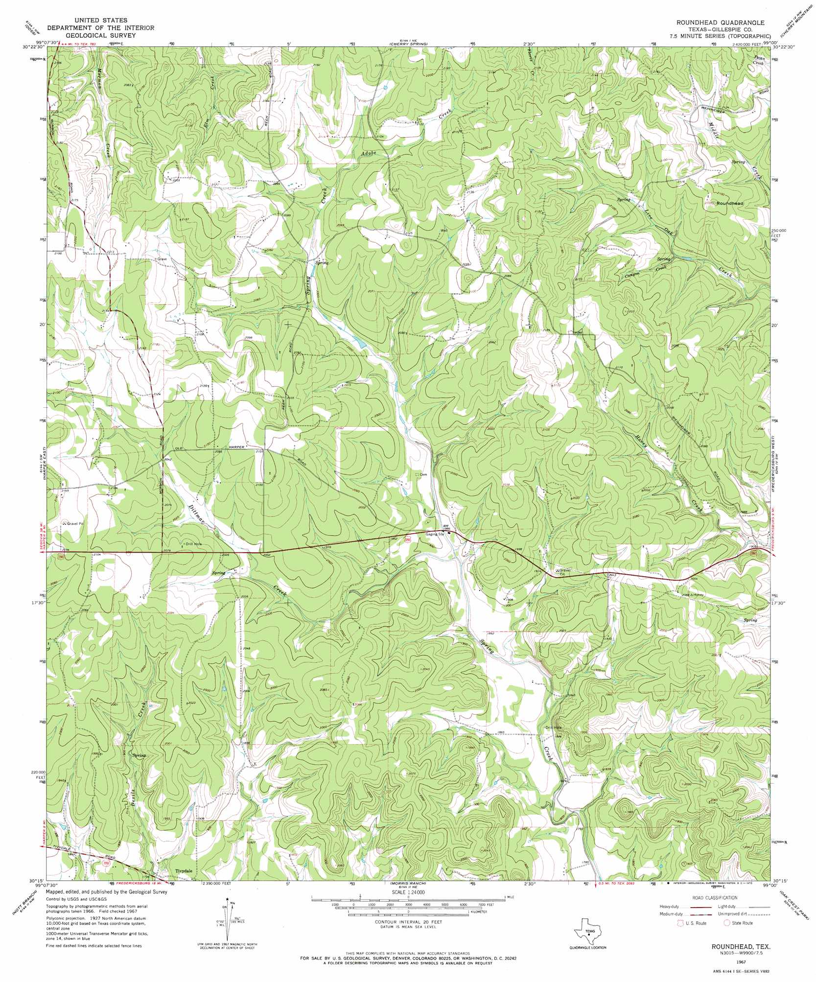
USGS Topo Quad 30099c1 - 1:24,000 scale
| Topo Map Name: | Roundhead |
| USGS Topo Quad ID: | 30099c1 |
| Print Size: | ca. 21 1/4" wide x 27" high |
| Southeast Coordinates: | 30.25° N latitude / 99° W longitude |
| Map Center Coordinates: | 30.3125° N latitude / 99.0625° W longitude |
| U.S. State: | TX |
| Filename: | o30099c1.jpg |
| Download Map JPG Image: | Roundhead topo map 1:24,000 scale |
| Map Type: | Topographic |
| Topo Series: | 7.5´ |
| Map Scale: | 1:24,000 |
| Source of Map Images: | United States Geological Survey (USGS) |
| Alternate Map Versions: |
Roundhead TX 1967, updated 1970 Download PDF Buy paper map Roundhead TX 2010 Download PDF Buy paper map Roundhead TX 2012 Download PDF Buy paper map Roundhead TX 2016 Download PDF Buy paper map |
1:24,000 Topo Quads surrounding Roundhead
Monument Mountain Se |
Panther Creek |
Loyal Valley |
House Mountain |
Enchanted Rock |
The Falls |
Doss |
Cherry Spring |
Cherry Mountain |
Crabapple |
Harper West |
Harper East |
Roundhead |
Fredericksburg West |
Fredericksburg East |
Mountain Home |
Nott Branch |
Morris Ranch |
Oak Crest Park |
Cain City |
Hunt |
Kerrville |
Legion |
Cypress Creek |
Rafter Hollow |
> Back to 30099a1 at 1:100,000 scale
> Back to 30098a1 at 1:250,000 scale
> Back to U.S. Topo Maps home
Roundhead topo map: Gazetteer
Roundhead: Populated Places
Tivydale elevation 567m 1860′Roundhead: Streams
Adobe Creek elevation 628m 2060′Canyon Creek elevation 603m 1978′
Dittmar Creek elevation 578m 1896′
Roundhead: Summits
Roundhead elevation 653m 2142′Roundhead digital topo map on disk
Buy this Roundhead topo map showing relief, roads, GPS coordinates and other geographical features, as a high-resolution digital map file on DVD: