Rocksprings Topo Map Texas
To zoom in, hover over the map of Rocksprings
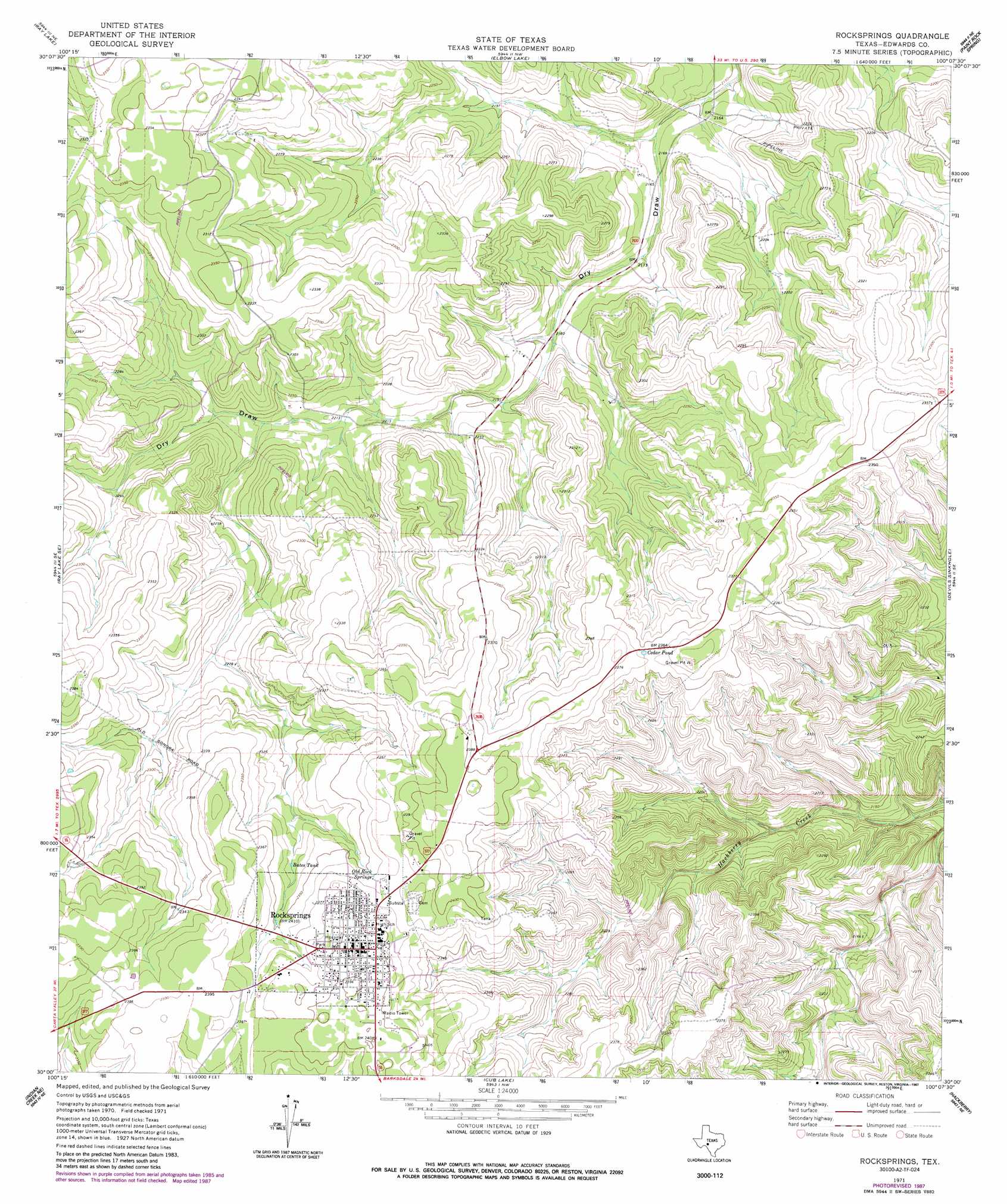
USGS Topo Quad 30100a2 - 1:24,000 scale
| Topo Map Name: | Rocksprings |
| USGS Topo Quad ID: | 30100a2 |
| Print Size: | ca. 21 1/4" wide x 27" high |
| Southeast Coordinates: | 30° N latitude / 100.125° W longitude |
| Map Center Coordinates: | 30.0625° N latitude / 100.1875° W longitude |
| U.S. State: | TX |
| Filename: | o30100a2.jpg |
| Download Map JPG Image: | Rocksprings topo map 1:24,000 scale |
| Map Type: | Topographic |
| Topo Series: | 7.5´ |
| Map Scale: | 1:24,000 |
| Source of Map Images: | United States Geological Survey (USGS) |
| Alternate Map Versions: |
Rocksprings TX 1971, updated 1973 Download PDF Buy paper map Rocksprings TX 1971, updated 1987 Download PDF Buy paper map Rocksprings TX 2010 Download PDF Buy paper map Rocksprings TX 2012 Download PDF Buy paper map Rocksprings TX 2016 Download PDF Buy paper map |
1:24,000 Topo Quads surrounding Rocksprings
Harrison Ranch |
Stewart Ranch |
Bundy Ranch |
Hill Ranch |
Telegraph |
Ray Lake Nw |
Ray Lake |
Elbow Lake |
Paint Rock Spring |
Bradford Creek |
Ray Lake Sw |
Ray Lake Se |
Rocksprings |
Devils Sinkhole |
Earwood Creek Sw |
Black Waterhole |
Indian Creek Ne |
Cub Lake |
Hackberry |
Joy Hollow |
Twomile Draw |
Cutting Pen Draw |
Half Moon Prairie |
Vance |
Jo Jan Van Camp |
> Back to 30100a1 at 1:100,000 scale
> Back to 30100a1 at 1:250,000 scale
> Back to U.S. Topo Maps home
Rocksprings topo map: Gazetteer
Rocksprings: Lakes
Cedar Pond elevation 719m 2358′Rocksprings: Populated Places
Rocksprings elevation 732m 2401′Rocksprings: Reservoirs
Bates Tank elevation 709m 2326′Rocksprings: Springs
Old Rock Springs elevation 720m 2362′Rocksprings digital topo map on disk
Buy this Rocksprings topo map showing relief, roads, GPS coordinates and other geographical features, as a high-resolution digital map file on DVD: