Hill Ranch Topo Map Texas
To zoom in, hover over the map of Hill Ranch
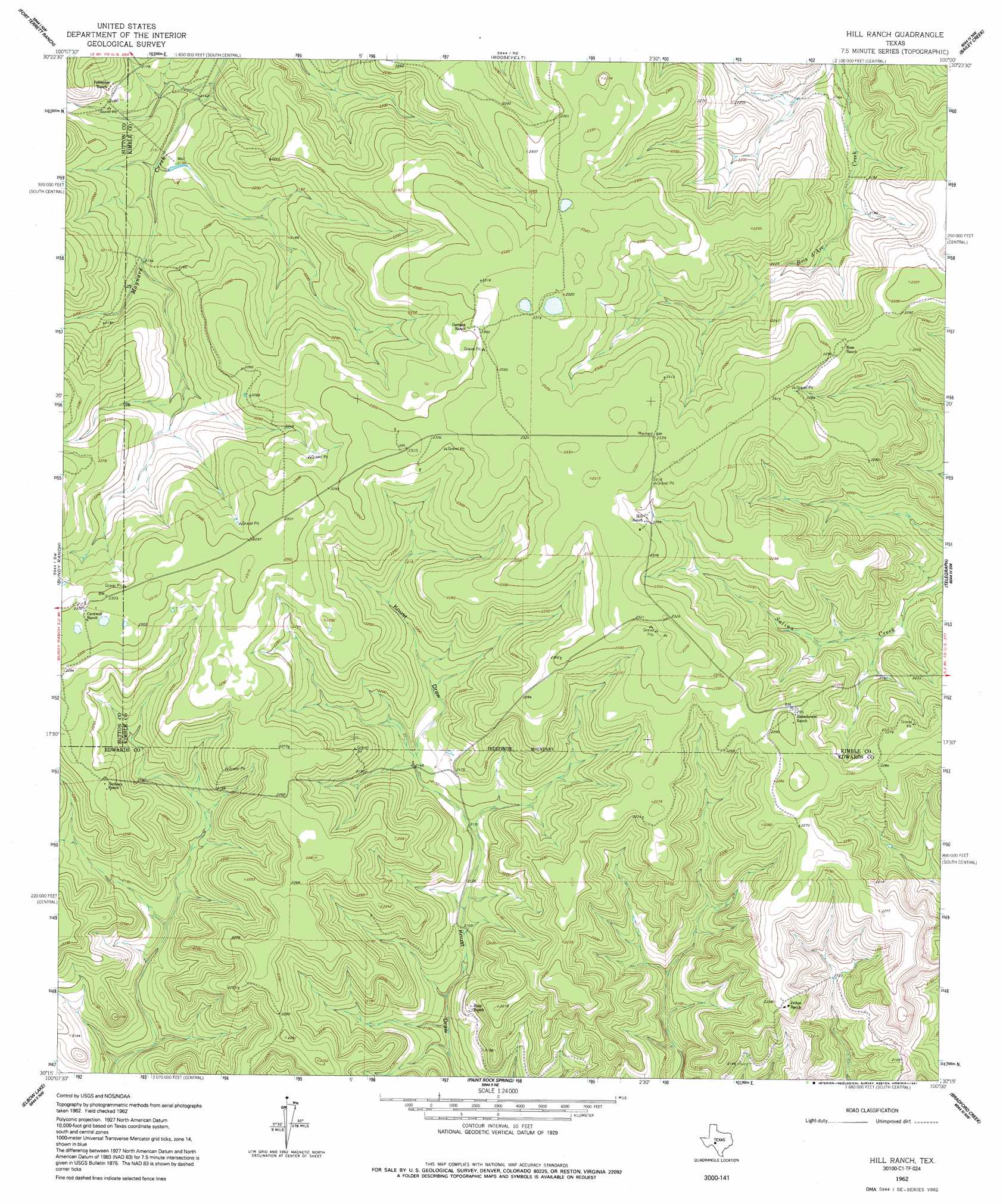
USGS Topo Quad 30100c1 - 1:24,000 scale
| Topo Map Name: | Hill Ranch |
| USGS Topo Quad ID: | 30100c1 |
| Print Size: | ca. 21 1/4" wide x 27" high |
| Southeast Coordinates: | 30.25° N latitude / 100° W longitude |
| Map Center Coordinates: | 30.3125° N latitude / 100.0625° W longitude |
| U.S. State: | TX |
| Filename: | o30100c1.jpg |
| Download Map JPG Image: | Hill Ranch topo map 1:24,000 scale |
| Map Type: | Topographic |
| Topo Series: | 7.5´ |
| Map Scale: | 1:24,000 |
| Source of Map Images: | United States Geological Survey (USGS) |
| Alternate Map Versions: |
Hill Ranch TX 1962, updated 1965 Download PDF Buy paper map Hill Ranch TX 1962, updated 1991 Download PDF Buy paper map Hill Ranch TX 2010 Download PDF Buy paper map Hill Ranch TX 2012 Download PDF Buy paper map Hill Ranch TX 2016 Download PDF Buy paper map |
1:24,000 Topo Quads surrounding Hill Ranch
Buffalo Well Se |
Brokeleg Mountain |
Mckegan Draw |
Stark Creek |
Elm Slough |
Live Oak Draw |
Fort Terrett Ranch |
Roosevelt |
Bailey Creek |
Junction |
Stewart Ranch |
Bundy Ranch |
Hill Ranch |
Telegraph |
Junction Se |
Ray Lake |
Elbow Lake |
Paint Rock Spring |
Bradford Creek |
Horse Camp Waterhole |
Ray Lake Se |
Rocksprings |
Devils Sinkhole |
Earwood Creek Sw |
Earwood Creek |
> Back to 30100a1 at 1:100,000 scale
> Back to 30100a1 at 1:250,000 scale
> Back to U.S. Topo Maps home
No gazetteer data is available for the Hill Ranch topo map sheet.
Hill Ranch digital topo map on disk
Buy this Hill Ranch topo map showing relief, roads, GPS coordinates and other geographical features, as a high-resolution digital map file on DVD: