Harrison Ranch Topo Map Texas
To zoom in, hover over the map of Harrison Ranch
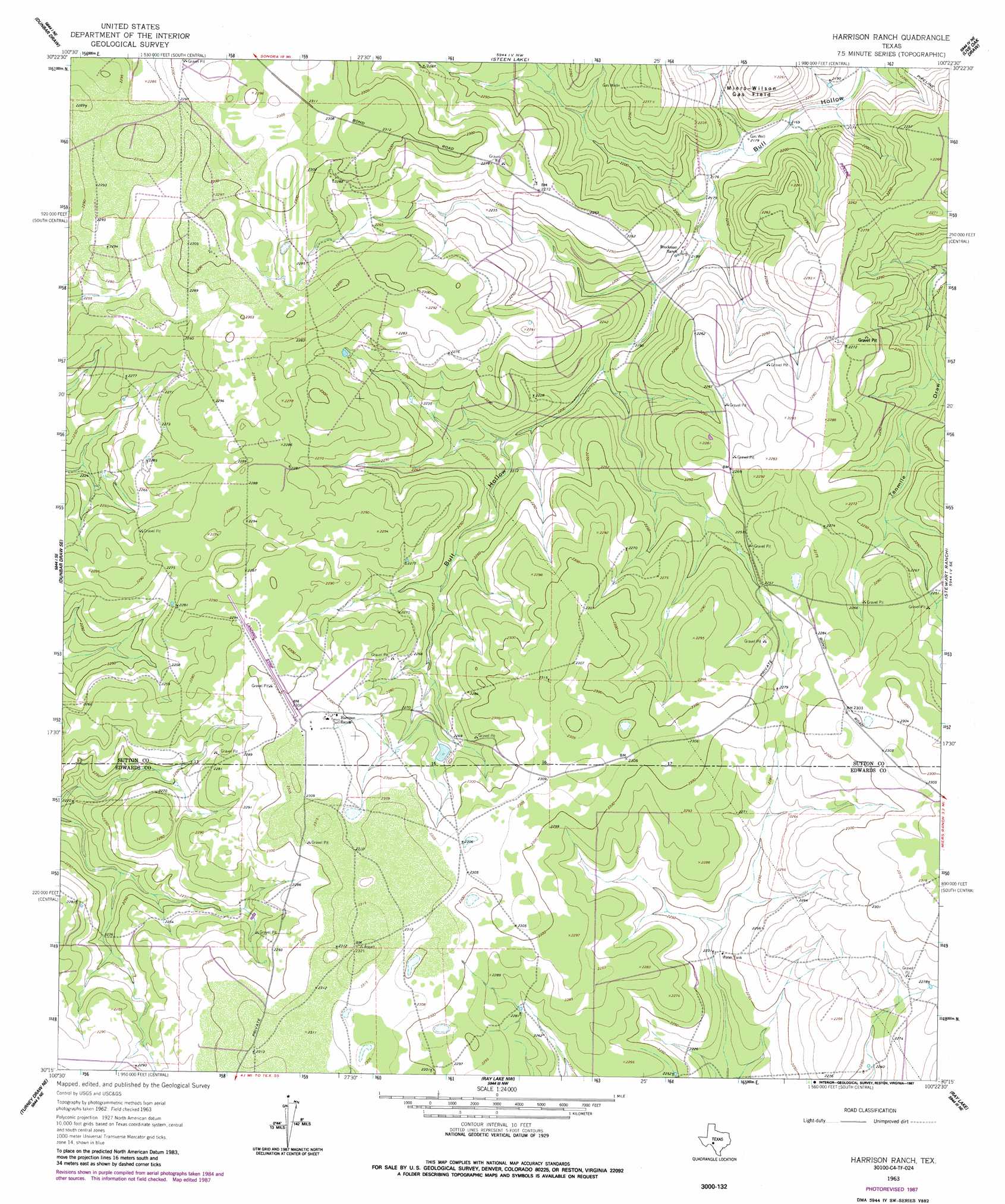
USGS Topo Quad 30100c4 - 1:24,000 scale
| Topo Map Name: | Harrison Ranch |
| USGS Topo Quad ID: | 30100c4 |
| Print Size: | ca. 21 1/4" wide x 27" high |
| Southeast Coordinates: | 30.25° N latitude / 100.375° W longitude |
| Map Center Coordinates: | 30.3125° N latitude / 100.4375° W longitude |
| U.S. State: | TX |
| Filename: | o30100c4.jpg |
| Download Map JPG Image: | Harrison Ranch topo map 1:24,000 scale |
| Map Type: | Topographic |
| Topo Series: | 7.5´ |
| Map Scale: | 1:24,000 |
| Source of Map Images: | United States Geological Survey (USGS) |
| Alternate Map Versions: |
Harrison Ranch TX 1963, updated 1965 Download PDF Buy paper map Harrison Ranch TX 1963, updated 1987 Download PDF Buy paper map Harrison Ranch TX 2010 Download PDF Buy paper map Harrison Ranch TX 2012 Download PDF Buy paper map Harrison Ranch TX 2016 Download PDF Buy paper map |
1:24,000 Topo Quads surrounding Harrison Ranch
Sonora |
Sonora Se |
Buffalo Well Sw |
Buffalo Well Se |
Brokeleg Mountain |
Dunbar Draw Nw |
Dunbar Draw Ne |
Steen Lake |
Live Oak Draw |
Fort Terrett Ranch |
Dunbar Draw Sw |
Dunbar Draw Se |
Harrison Ranch |
Stewart Ranch |
Bundy Ranch |
Turney Draw Nw |
Turney Draw Ne |
Ray Lake Nw |
Ray Lake |
Elbow Lake |
Four Mills |
Turney Draw Se |
Ray Lake Sw |
Ray Lake Se |
Rocksprings |
> Back to 30100a1 at 1:100,000 scale
> Back to 30100a1 at 1:250,000 scale
> Back to U.S. Topo Maps home
Harrison Ranch topo map: Gazetteer
Harrison Ranch: Airports
Harrison Ranch-Sonora Airport elevation 705m 2312′Harrison Ranch digital topo map on disk
Buy this Harrison Ranch topo map showing relief, roads, GPS coordinates and other geographical features, as a high-resolution digital map file on DVD: