Big Brindle Canyon Topo Map Texas
To zoom in, hover over the map of Big Brindle Canyon
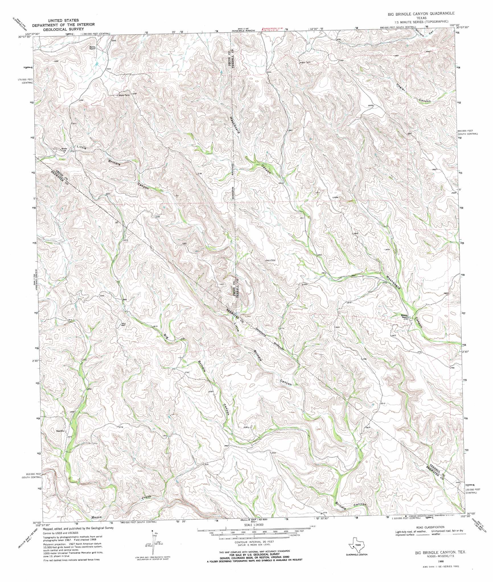
USGS Topo Quad 30102a5 - 1:24,000 scale
| Topo Map Name: | Big Brindle Canyon |
| USGS Topo Quad ID: | 30102a5 |
| Print Size: | ca. 21 1/4" wide x 27" high |
| Southeast Coordinates: | 30° N latitude / 102.5° W longitude |
| Map Center Coordinates: | 30.0625° N latitude / 102.5625° W longitude |
| U.S. State: | TX |
| Filename: | o30102a5.jpg |
| Download Map JPG Image: | Big Brindle Canyon topo map 1:24,000 scale |
| Map Type: | Topographic |
| Topo Series: | 7.5´ |
| Map Scale: | 1:24,000 |
| Source of Map Images: | United States Geological Survey (USGS) |
| Alternate Map Versions: |
Big Brindle Canyon TX 1968, updated 1971 Download PDF Buy paper map Big Brindle Canyon TX 2010 Download PDF Buy paper map Big Brindle Canyon TX 2012 Download PDF Buy paper map Big Brindle Canyon TX 2016 Download PDF Buy paper map |
1:24,000 Topo Quads surrounding Big Brindle Canyon
Cap Rock Butte |
F C Ranch |
Toms Canyon |
Big Canyon Ranch Sw |
Big Canyon Ranch |
Tesnus Ne |
Longfellow |
Ninemile Ranch |
Sanderson |
Sanderson Ne |
Tesnus Se |
Fresno Creek |
Big Brindle Canyon |
Hagler Canyon |
Sanderson Se |
Pine Mountain East |
San Francisco Shutups |
Bullis Gap Ne |
Candilla Canyon West |
Candilla Canyon East |
Dove Mountain |
Beef Gap |
Bullis Gap |
Panther Gulch West |
Panther Gulch East |
> Back to 30102a1 at 1:100,000 scale
> Back to 30102a1 at 1:250,000 scale
> Back to U.S. Topo Maps home
Big Brindle Canyon topo map: Gazetteer
Big Brindle Canyon: Valleys
Big Brindle Canyon elevation 756m 2480′Little Brindle Canyon elevation 755m 2477′
Big Brindle Canyon digital topo map on disk
Buy this Big Brindle Canyon topo map showing relief, roads, GPS coordinates and other geographical features, as a high-resolution digital map file on DVD: