Smokey Mountain Ranch Topo Map Texas
To zoom in, hover over the map of Smokey Mountain Ranch
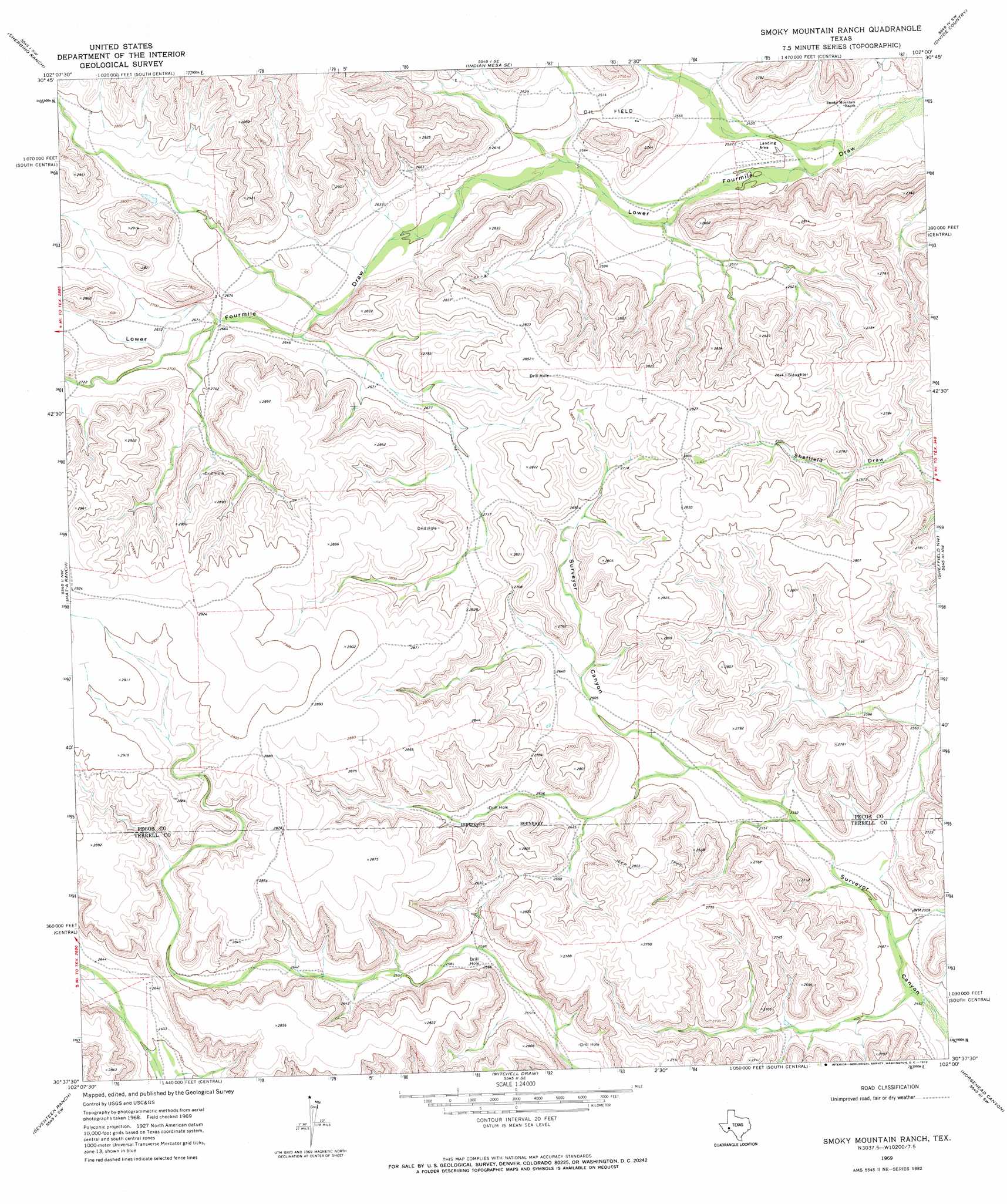
USGS Topo Quad 30102f1 - 1:24,000 scale
| Topo Map Name: | Smokey Mountain Ranch |
| USGS Topo Quad ID: | 30102f1 |
| Print Size: | ca. 21 1/4" wide x 27" high |
| Southeast Coordinates: | 30.625° N latitude / 102° W longitude |
| Map Center Coordinates: | 30.6875° N latitude / 102.0625° W longitude |
| U.S. State: | TX |
| Filename: | o30102f1.jpg |
| Download Map JPG Image: | Smokey Mountain Ranch topo map 1:24,000 scale |
| Map Type: | Topographic |
| Topo Series: | 7.5´ |
| Map Scale: | 1:24,000 |
| Source of Map Images: | United States Geological Survey (USGS) |
| Alternate Map Versions: |
Smoky Mountain Ranch TX 1969, updated 1972 Download PDF Buy paper map Smoky Mountain Ranch TX 2010 Download PDF Buy paper map Smoky Mountain Ranch TX 2012 Download PDF Buy paper map Smoky Mountain Ranch TX 2016 Download PDF Buy paper map |
1:24,000 Topo Quads surrounding Smokey Mountain Ranch
Bakersfield |
Indian Mesa |
Indian Mesa Ne |
Iraan |
Twelvemile Camp |
Sherbino Mesa |
Sherbino Ranch |
Indian Mesa Se |
Divide Country |
Deer Canyon |
Hackberry Draw Ne |
Hat-A Ranch |
Smokey Mountain Ranch |
Sheffield Nw |
Sheffield |
Hackberry Draw Se |
Seventeen Ranch |
Mitchell Draw |
Horsehead Canyon |
Sheffield Se |
Big Canyon Ranch Ne |
Circle Dot Ranch |
Circle Dot Ranch Ne |
Geddis Canyon Nw |
Oasis Ranch |
> Back to 30102e1 at 1:100,000 scale
> Back to 30102a1 at 1:250,000 scale
> Back to U.S. Topo Maps home
Smokey Mountain Ranch topo map: Gazetteer
Smokey Mountain Ranch: Airports
Smokey Mountain Ranch Airport elevation 763m 2503′Smokey Mountain Ranch digital topo map on disk
Buy this Smokey Mountain Ranch topo map showing relief, roads, GPS coordinates and other geographical features, as a high-resolution digital map file on DVD: