Bennett Ranch Topo Map Texas
To zoom in, hover over the map of Bennett Ranch
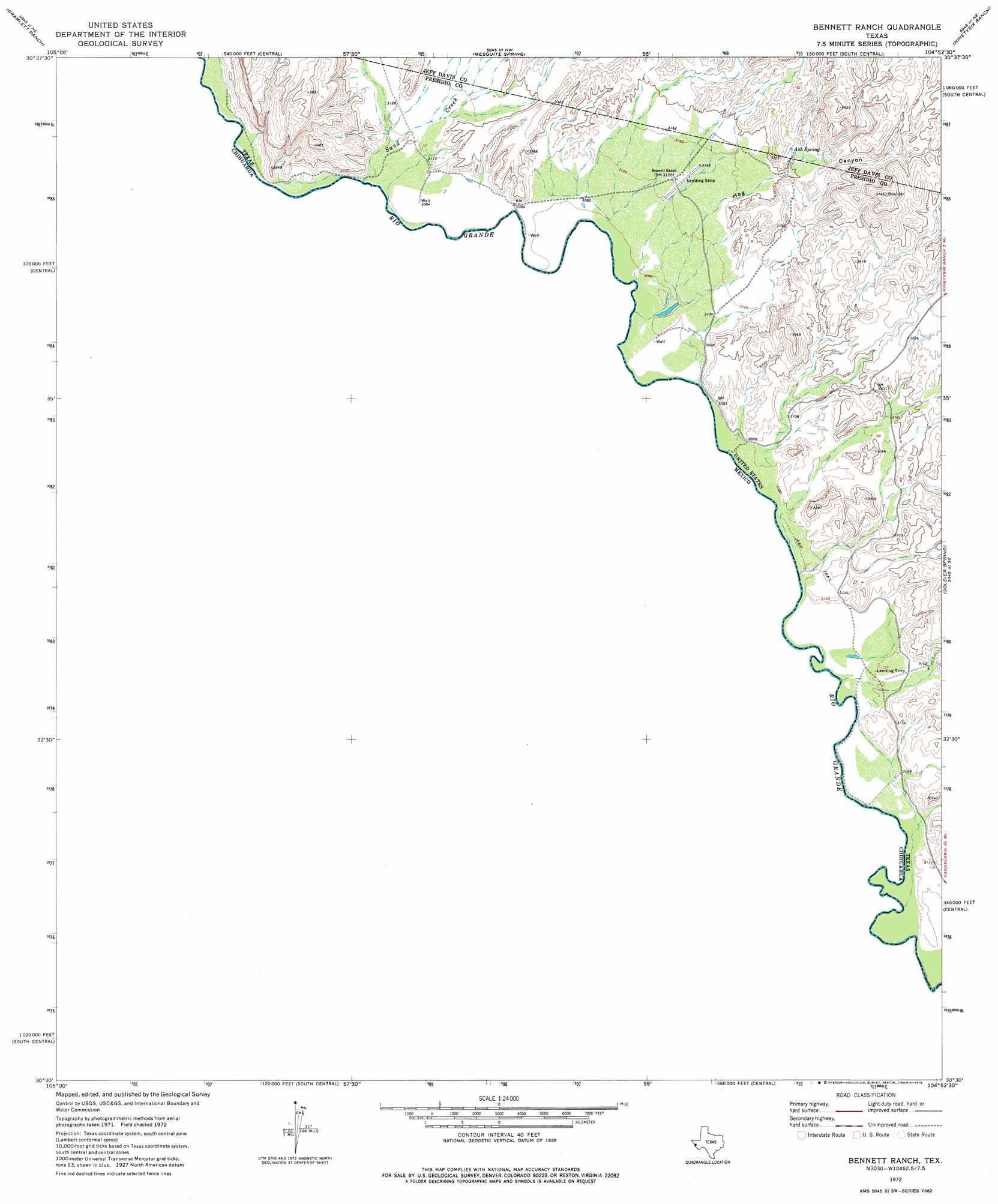
USGS Topo Quad 30104e8 - 1:24,000 scale
| Topo Map Name: | Bennett Ranch |
| USGS Topo Quad ID: | 30104e8 |
| Print Size: | ca. 21 1/4" wide x 27" high |
| Southeast Coordinates: | 30.5° N latitude / 104.875° W longitude |
| Map Center Coordinates: | 30.5625° N latitude / 104.9375° W longitude |
| U.S. State: | TX |
| Filename: | o30104e8.jpg |
| Download Map JPG Image: | Bennett Ranch topo map 1:24,000 scale |
| Map Type: | Topographic |
| Topo Series: | 7.5´ |
| Map Scale: | 1:24,000 |
| Source of Map Images: | United States Geological Survey (USGS) |
| Alternate Map Versions: |
Bennett Ranch TX 1972, updated 1975 Download PDF Buy paper map Bennett Ranch TX 2010 Download PDF Buy paper map Bennett Ranch TX 2012 Download PDF Buy paper map Bennett Ranch TX 2016 Download PDF Buy paper map |
1:24,000 Topo Quads surrounding Bennett Ranch
Eagle Mountains Sw |
Eagle Mountains Se |
Lobo Sw |
Lobo |
Chispa Mountain |
Bramlett Ranch |
Mesquite Spring |
Ninetysix Ranch |
Chispa |
|
Bennett Ranch |
Soldier Spring |
Vieja Pass |
||
Gettysburg Peak |
||||
Mccutchen Ranch |
Mccomb Canyon |
> Back to 30104e1 at 1:100,000 scale
> Back to 30104a1 at 1:250,000 scale
> Back to U.S. Topo Maps home
Bennett Ranch topo map: Gazetteer
Bennett Ranch: Springs
Ash Spring elevation 984m 3228′Bennett Ranch: Streams
Sand Creek elevation 950m 3116′Bennett Ranch: Valleys
Hog Canyon elevation 963m 3159′Bennett Ranch digital topo map on disk
Buy this Bennett Ranch topo map showing relief, roads, GPS coordinates and other geographical features, as a high-resolution digital map file on DVD: