Moultrie Topo Map Georgia
To zoom in, hover over the map of Moultrie
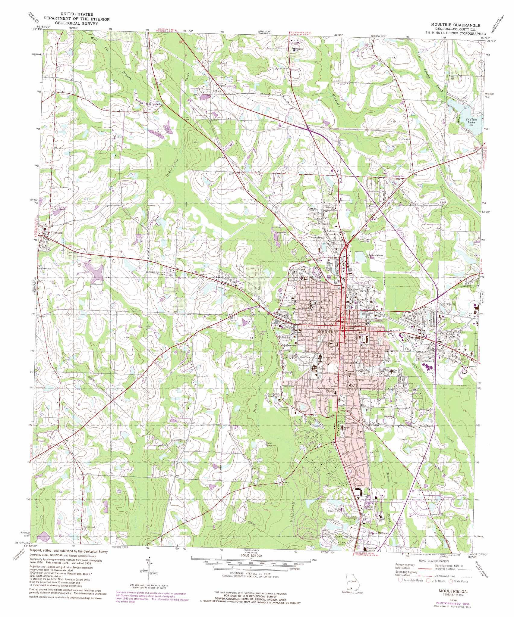
USGS Topo Quad 31083b7 - 1:24,000 scale
| Topo Map Name: | Moultrie |
| USGS Topo Quad ID: | 31083b7 |
| Print Size: | ca. 21 1/4" wide x 27" high |
| Southeast Coordinates: | 31.125° N latitude / 83.75° W longitude |
| Map Center Coordinates: | 31.1875° N latitude / 83.8125° W longitude |
| U.S. State: | GA |
| Filename: | o31083b7.jpg |
| Download Map JPG Image: | Moultrie topo map 1:24,000 scale |
| Map Type: | Topographic |
| Topo Series: | 7.5´ |
| Map Scale: | 1:24,000 |
| Source of Map Images: | United States Geological Survey (USGS) |
| Alternate Map Versions: |
Moultrie GA 1978, updated 1978 Download PDF Buy paper map Moultrie GA 1978, updated 1988 Download PDF Buy paper map Moultrie GA 2011 Download PDF Buy paper map Moultrie GA 2014 Download PDF Buy paper map |
1:24,000 Topo Quads surrounding Moultrie
Putney |
Bridgeboro |
Tempy |
Ty Ty |
Tifton West |
Sale City |
Doerun |
Sigsbee |
Norman Park |
Omega |
Cotton |
Hartsfield |
Moultrie |
Pineboro |
Ellenton |
Meigs |
Chastain |
Coolidge |
Berlin West |
Berlin East |
Ochlocknee |
Merrillville |
Patten |
Pavo |
Pebble Hill |
> Back to 31083a1 at 1:100,000 scale
> Back to 31082a1 at 1:250,000 scale
> Back to U.S. Topo Maps home
Moultrie topo map: Gazetteer
Moultrie: Dams
Brewer Lake Dam elevation 88m 288′Demott Lake Dam elevation 86m 282′
Demott Lake North Dam elevation 79m 259′
Giles Millpond Dam elevation 86m 282′
Moultrie: Populated Places
Funston elevation 107m 351′Ganor elevation 94m 308′
Kirkwood elevation 85m 278′
Marble (historical) elevation 101m 331′
Moultrie elevation 99m 324′
Riverside elevation 85m 278′
Schley elevation 92m 301′
South Moultrie elevation 97m 318′
Moultrie: Post Offices
Funston Post Office elevation 107m 351′Moultrie Post Office elevation 97m 318′
Moultrie: Reservoirs
Brewer Lake elevation 88m 288′Demott Lake elevation 86m 282′
Demott Lake North elevation 79m 259′
Giles Millpond elevation 86m 282′
Moultrie: Streams
Wolf Pit Branch elevation 83m 272′Moultrie digital topo map on disk
Buy this Moultrie topo map showing relief, roads, GPS coordinates and other geographical features, as a high-resolution digital map file on DVD: