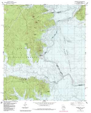
Negreet Sw Topo Map Texas
To zoom in, hover over the map of Negreet Sw
USGS Topo Quad 31093c6 - 1:24,000 scale
| Topo Map Name: | Negreet Sw |
| USGS Topo Quad ID: | 31093c6 |
| Print Size: | ca. 21 1/4" wide x 27" high |
| Southeast Coordinates: | 31.25° N latitude / 93.625° W longitude |
| Map Center Coordinates: | 31.3125° N latitude / 93.6875° W longitude |
| U.S. States: | TX, LA |
| Filename: | o31093c6.jpg |
| Download Map JPG Image: | Negreet Sw topo map 1:24,000 scale |
| Map Type: | Topographic |
| Topo Series: | 7.5´ |
| Map Scale: | 1:24,000 |
| Source of Map Images: | United States Geological Survey (USGS) |
| Alternate Map Versions: |
Columbus TX 1954, updated 1958 Download PDF Buy paper map Negreet SW TX 1954, updated 1970 Download PDF Buy paper map Negreet SW TX 1954, updated 1972 Download PDF Buy paper map Negreet SW TX 1985, updated 1985 Download PDF Buy paper map Negreet SW TX 2010 Download PDF Buy paper map Negreet SW TX 2012 Download PDF Buy paper map Negreet SW TX 2016 Download PDF Buy paper map |
| FStopo: | US Forest Service topo Negreet SW is available: Download FStopo PDF Download FStopo TIF |
1:24,000 Topo Quads surrounding Negreet Sw
> Back to 31093a1 at 1:100,000 scale
> Back to 31092a1 at 1:250,000 scale
> Back to U.S. Topo Maps home
Negreet Sw topo map: Gazetteer
Negreet Sw: Bars
Gordon Shoals elevation 52m 170′Negreet Sw: Bends
Harpers Bend (historical) elevation 52m 170′Negreet Sw: Crossings
Godwins Ferry (historical) elevation 52m 170′Robertson Ferry (historical) elevation 52m 170′
Negreet Sw: Guts
Blackland Slough elevation 52m 170′Gum Slough (historical) elevation 52m 170′
Negreet Sw: Lakes
Arthurs Lake elevation 52m 170′Bar Lake elevation 52m 170′
Black Lake elevation 52m 170′
Crane Pond (historical) elevation 52m 170′
Cutoff Lake elevation 52m 170′
Cutoff Pond (historical) elevation 52m 170′
Ferry Lake elevation 52m 170′
Green Lake (historical) elevation 52m 170′
Grocer Lake elevation 52m 170′
Gum Lake elevation 52m 170′
McCartney Lake elevation 52m 170′
Spate Lake elevation 52m 170′
Tom Self Lake elevation 52m 170′
Willow Pond elevation 52m 170′
Negreet Sw: Populated Places
Columbus (historical) elevation 52m 170′Negreet Sw: Streams
Ashmore Branch elevation 52m 170′Big Branch elevation 52m 170′
Blackmail Branch elevation 52m 170′
Bull Creek elevation 52m 170′
Bull Creek elevation 52m 170′
Coma Creek elevation 54m 177′
Hegren Branch elevation 52m 170′
Housen Bayou elevation 52m 170′
Hurricane Bayou elevation 52m 170′
Lowes Creek elevation 52m 170′
Oil Well Branch elevation 52m 170′
Sixmile Creek elevation 52m 170′
Sixmile Creek elevation 52m 170′
Negreet Sw: Summits
Moss Hill elevation 83m 272′Rock Hill elevation 114m 374′
Sand Hill elevation 122m 400′
Negreet Sw digital topo map on disk
Buy this Negreet Sw topo map showing relief, roads, GPS coordinates and other geographical features, as a high-resolution digital map file on DVD:


