Moore Hill Topo Map Texas
To zoom in, hover over the map of Moore Hill
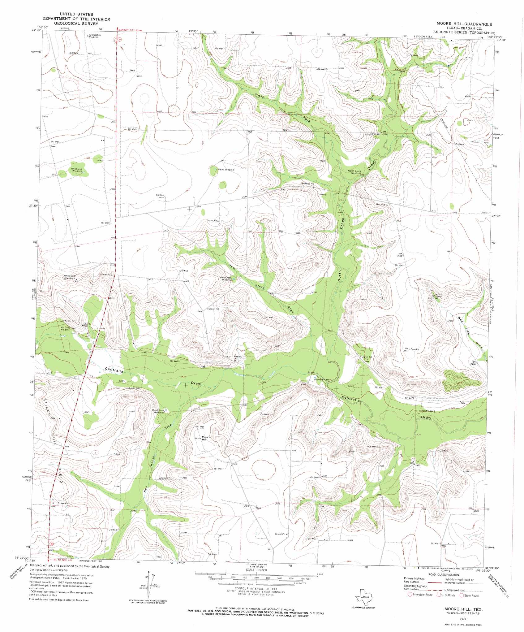
USGS Topo Quad 31101d4 - 1:24,000 scale
| Topo Map Name: | Moore Hill |
| USGS Topo Quad ID: | 31101d4 |
| Print Size: | ca. 21 1/4" wide x 27" high |
| Southeast Coordinates: | 31.375° N latitude / 101.375° W longitude |
| Map Center Coordinates: | 31.4375° N latitude / 101.4375° W longitude |
| U.S. State: | TX |
| Filename: | o31101d4.jpg |
| Download Map JPG Image: | Moore Hill topo map 1:24,000 scale |
| Map Type: | Topographic |
| Topo Series: | 7.5´ |
| Map Scale: | 1:24,000 |
| Source of Map Images: | United States Geological Survey (USGS) |
| Alternate Map Versions: |
Moore Hill TX 1970, updated 1973 Download PDF Buy paper map Moore Hill TX 2010 Download PDF Buy paper map Moore Hill TX 2012 Download PDF Buy paper map Moore Hill TX 2016 Download PDF Buy paper map |
1:24,000 Topo Quads surrounding Moore Hill
Bigby Corner |
Saint Lawrence |
Three Bluff Draw Nw |
Three Bluff Draw Ne |
Coon Dive Draw Nw |
Slager Lake |
Saint Lawrence Se |
Three Bluff Draw Sw |
Three Bluff Draw |
Hay Hollow |
Stiles Nw |
Stiles |
Moore Hill |
South Mustang Draw Ne |
Causey Draw |
Garrison Draw |
Gardener Draw |
Divide Draw |
South Mustang Draw Se |
Rocker B Ranch |
Texon |
Best |
Big Lake |
Witco |
Barnhart |
> Back to 31101a1 at 1:100,000 scale
> Back to 31100a1 at 1:250,000 scale
> Back to U.S. Topo Maps home
Moore Hill topo map: Gazetteer
Moore Hill: Airports
Charles J Hughes Ranch Airport elevation 757m 2483′Moore Hill: Summits
Moore Hill elevation 797m 2614′Moore Hill: Valleys
North Creek Draw elevation 746m 2447′Red House Draw elevation 753m 2470′
West Creek Draw elevation 747m 2450′
West Fork North Creek Draw elevation 763m 2503′
Moore Hill digital topo map on disk
Buy this Moore Hill topo map showing relief, roads, GPS coordinates and other geographical features, as a high-resolution digital map file on DVD: