Imperial Topo Map Texas
To zoom in, hover over the map of Imperial
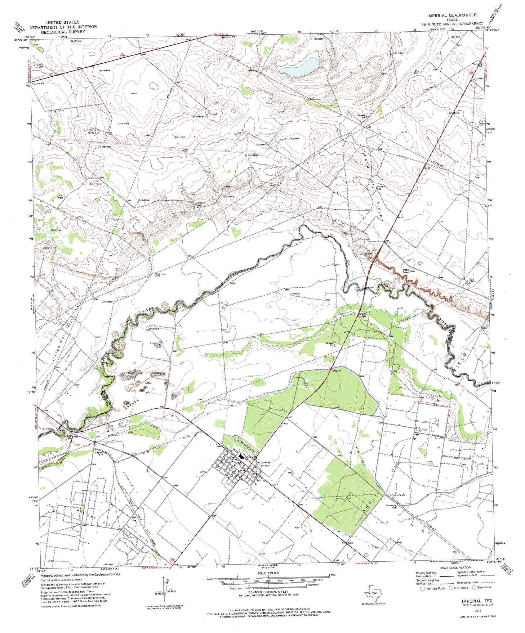
USGS Topo Quad 31102c6 - 1:24,000 scale
| Topo Map Name: | Imperial |
| USGS Topo Quad ID: | 31102c6 |
| Print Size: | ca. 21 1/4" wide x 27" high |
| Southeast Coordinates: | 31.25° N latitude / 102.625° W longitude |
| Map Center Coordinates: | 31.3125° N latitude / 102.6875° W longitude |
| U.S. State: | TX |
| Filename: | o31102c6.jpg |
| Download Map JPG Image: | Imperial topo map 1:24,000 scale |
| Map Type: | Topographic |
| Topo Series: | 7.5´ |
| Map Scale: | 1:24,000 |
| Source of Map Images: | United States Geological Survey (USGS) |
| Alternate Map Versions: |
Imperial TX 1974, updated 1977 Download PDF Buy paper map Imperial TX 2010 Download PDF Buy paper map Imperial TX 2012 Download PDF Buy paper map Imperial TX 2016 Download PDF Buy paper map |
1:24,000 Topo Quads surrounding Imperial
Monahans |
Monahans Se |
Penwell Sw |
Penwell Se |
Doodle Bug Well |
7 L Ranch |
Ozark Lake |
Imperial Nw |
Tubbs Corner |
Crane Nw |
Grandfalls Sw |
Grandfalls |
Imperial |
Juan Cordona Lake |
Crane Sw |
Diamond Y Spring Nw |
Diamond Y Spring Ne |
Buena Vista |
Buena Vista Ne |
Girvin Nw |
Diamond Y Spring |
Diamond Y Spring Se |
Buena Vista Sw |
Owego |
Girvin |
> Back to 31102a1 at 1:100,000 scale
> Back to 31102a1 at 1:250,000 scale
> Back to U.S. Topo Maps home
Imperial topo map: Gazetteer
Imperial: Oilfields
Abell Oil and Gas Field elevation 725m 2378′Atapco Oil Field elevation 729m 2391′
Malicky Oil Field elevation 733m 2404′
Tucker Oil Field elevation 736m 2414′
Imperial: Populated Places
Abell City elevation 726m 2381′Horsehead Crossing (historical) elevation 727m 2385′
Imperial elevation 729m 2391′
Imperial Colonia elevation 729m 2391′
Imperial digital topo map on disk
Buy this Imperial topo map showing relief, roads, GPS coordinates and other geographical features, as a high-resolution digital map file on DVD: