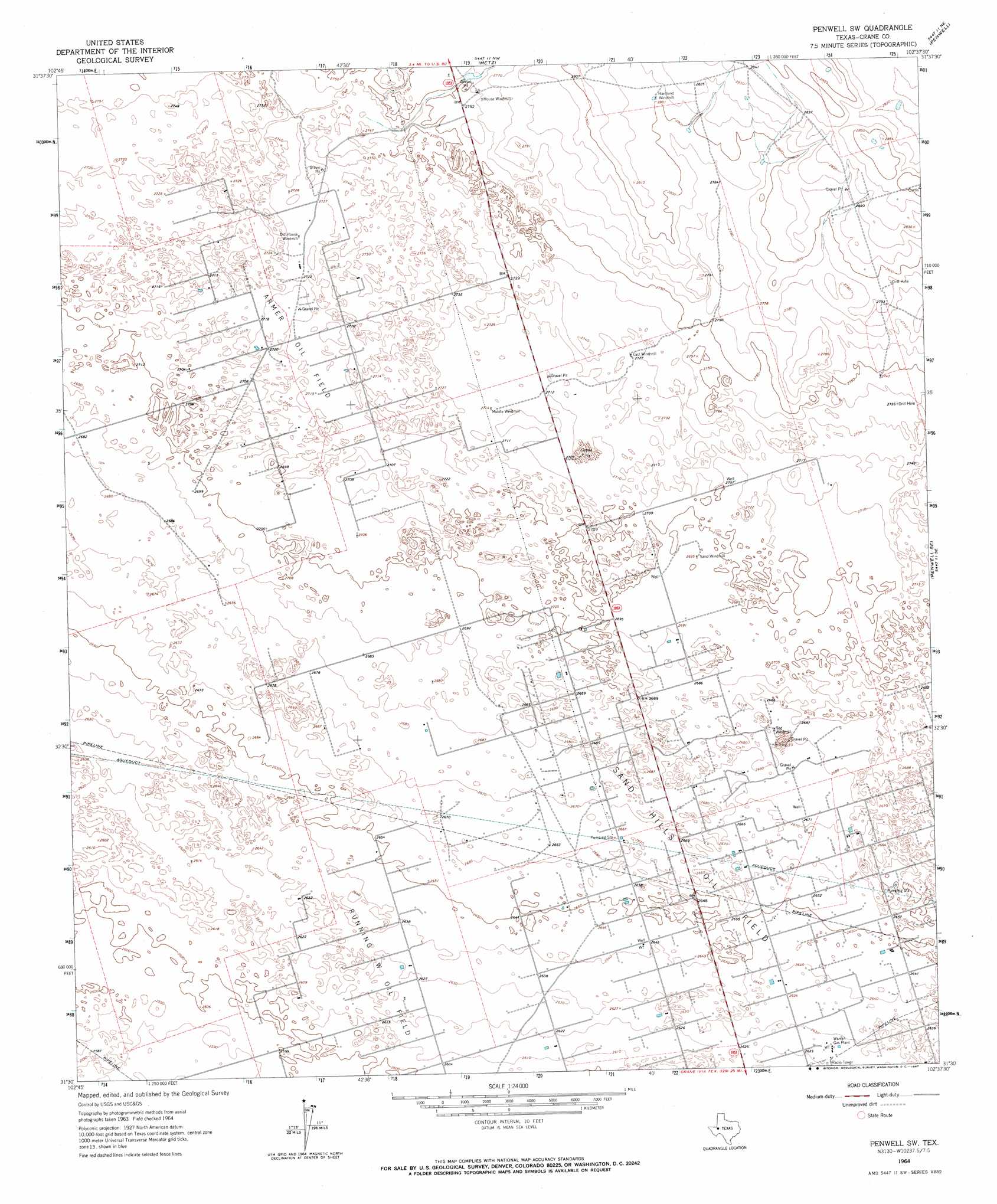
Penwell Sw Topo Map Texas
To zoom in, hover over the map of Penwell Sw
USGS Topo Quad 31102e6 - 1:24,000 scale
| Topo Map Name: | Penwell Sw |
| USGS Topo Quad ID: | 31102e6 |
| Print Size: | ca. 21 1/4" wide x 27" high |
| Southeast Coordinates: | 31.5° N latitude / 102.625° W longitude |
| Map Center Coordinates: | 31.5625° N latitude / 102.6875° W longitude |
| U.S. State: | TX |
| Filename: | o31102e6.jpg |
| Download Map JPG Image: | Penwell Sw topo map 1:24,000 scale |
| Map Type: | Topographic |
| Topo Series: | 7.5´ |
| Map Scale: | 1:24,000 |
| Source of Map Images: | United States Geological Survey (USGS) |
| Alternate Map Versions: |
Penwell SW TX 1964, updated 1967 Download PDF Buy paper map Penwell SW TX 2010 Download PDF Buy paper map Penwell SW TX 2012 Download PDF Buy paper map Penwell SW TX 2016 Download PDF Buy paper map |
1:24,000 Topo Quads surrounding Penwell Sw
Wheeler Ranch |
Amburgey Ranch |
Red Lakes |
Douro |
Odessa Sw |
China Ranch |
Cowden Place |
Metz |
Penwell |
Clark Brothers Ranch |
Monahans |
Monahans Se |
Penwell Sw |
Penwell Se |
Doodle Bug Well |
7 L Ranch |
Ozark Lake |
Imperial Nw |
Tubbs Corner |
Crane Nw |
Grandfalls Sw |
Grandfalls |
Imperial |
Juan Cordona Lake |
Crane Sw |
> Back to 31102e1 at 1:100,000 scale
> Back to 31102a1 at 1:250,000 scale
> Back to U.S. Topo Maps home
Penwell Sw topo map: Gazetteer
Penwell Sw: Oilfields
Armer Oil Field elevation 829m 2719′Warren Gas Plant elevation 801m 2627′
Penwell Sw digital topo map on disk
Buy this Penwell Sw topo map showing relief, roads, GPS coordinates and other geographical features, as a high-resolution digital map file on DVD: