Notrees Topo Map Texas
To zoom in, hover over the map of Notrees
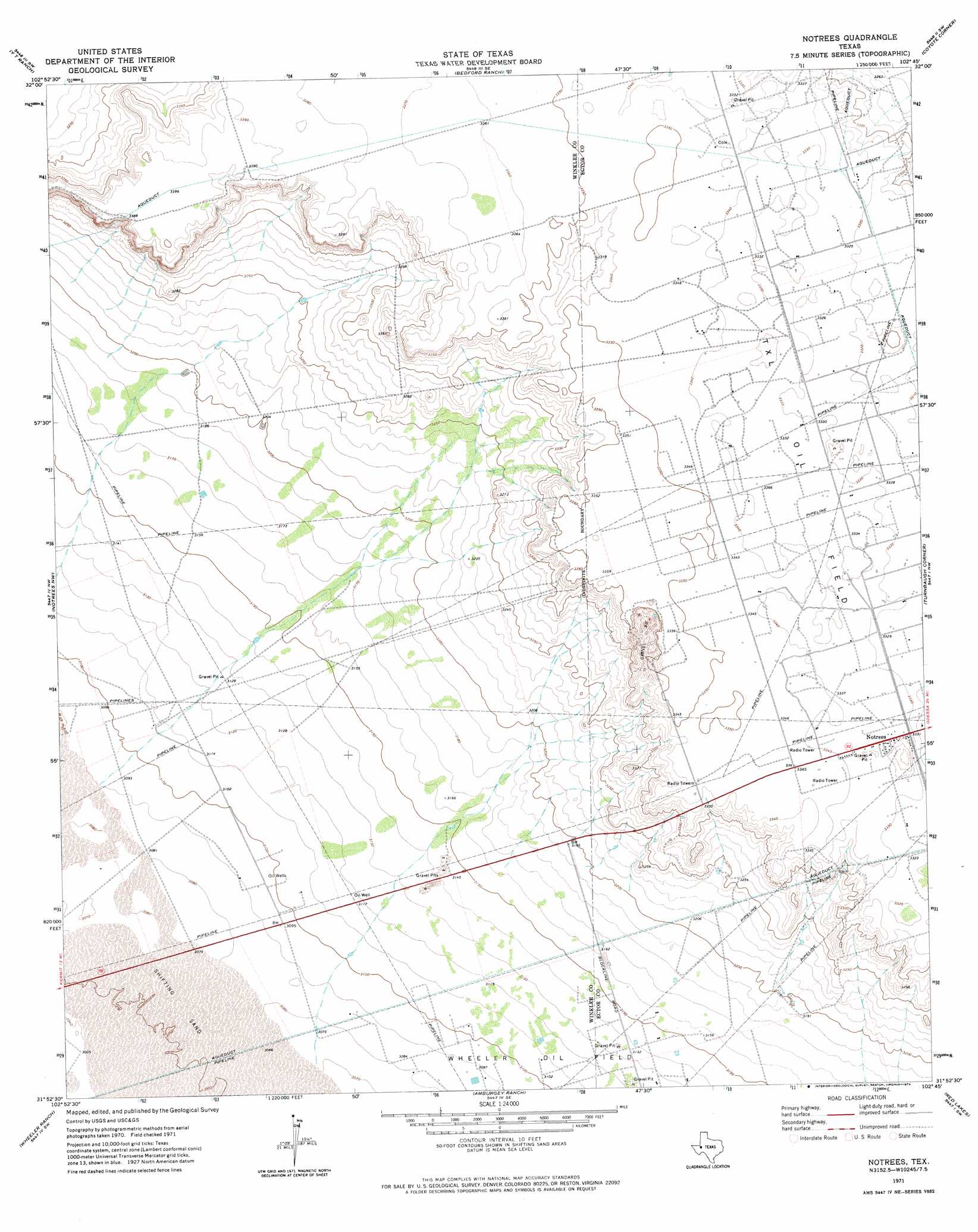
USGS Topo Quad 31102h7 - 1:24,000 scale
| Topo Map Name: | Notrees |
| USGS Topo Quad ID: | 31102h7 |
| Print Size: | ca. 21 1/4" wide x 27" high |
| Southeast Coordinates: | 31.875° N latitude / 102.75° W longitude |
| Map Center Coordinates: | 31.9375° N latitude / 102.8125° W longitude |
| U.S. State: | TX |
| Filename: | o31102h7.jpg |
| Download Map JPG Image: | Notrees topo map 1:24,000 scale |
| Map Type: | Topographic |
| Topo Series: | 7.5´ |
| Map Scale: | 1:24,000 |
| Source of Map Images: | United States Geological Survey (USGS) |
| Alternate Map Versions: |
Notrees TX 1971, updated 1974 Download PDF Buy paper map Notrees TX 2010 Download PDF Buy paper map Notrees TX 2012 Download PDF Buy paper map Notrees TX 2016 Download PDF Buy paper map |
1:24,000 Topo Quads surrounding Notrees
Jal Ne |
Figure Seven Ranch |
Sand Ranch |
North Cowden Nw |
Clabber Hill Ranch |
Jal Se |
Yt Ranch |
Bedford Ranch |
Coyote Corner |
North Cowden |
Vesrue |
Notrees Nw |
Notrees |
Turnbaugh Corner |
Goldsmith |
Kermit |
Wheeler Ranch |
Amburgey Ranch |
Red Lakes |
Douro |
Pyote Ne |
China Ranch |
Cowden Place |
Metz |
Penwell |
> Back to 31102e1 at 1:100,000 scale
> Back to 31102a1 at 1:250,000 scale
> Back to U.S. Topo Maps home
Notrees topo map: Gazetteer
Notrees: Populated Places
Notrees elevation 1016m 3333′Notrees: Springs
Blue Mountain Springs (historical) elevation 1033m 3389′Notrees digital topo map on disk
Buy this Notrees topo map showing relief, roads, GPS coordinates and other geographical features, as a high-resolution digital map file on DVD: