Kc Ranch Topo Map Texas
To zoom in, hover over the map of Kc Ranch
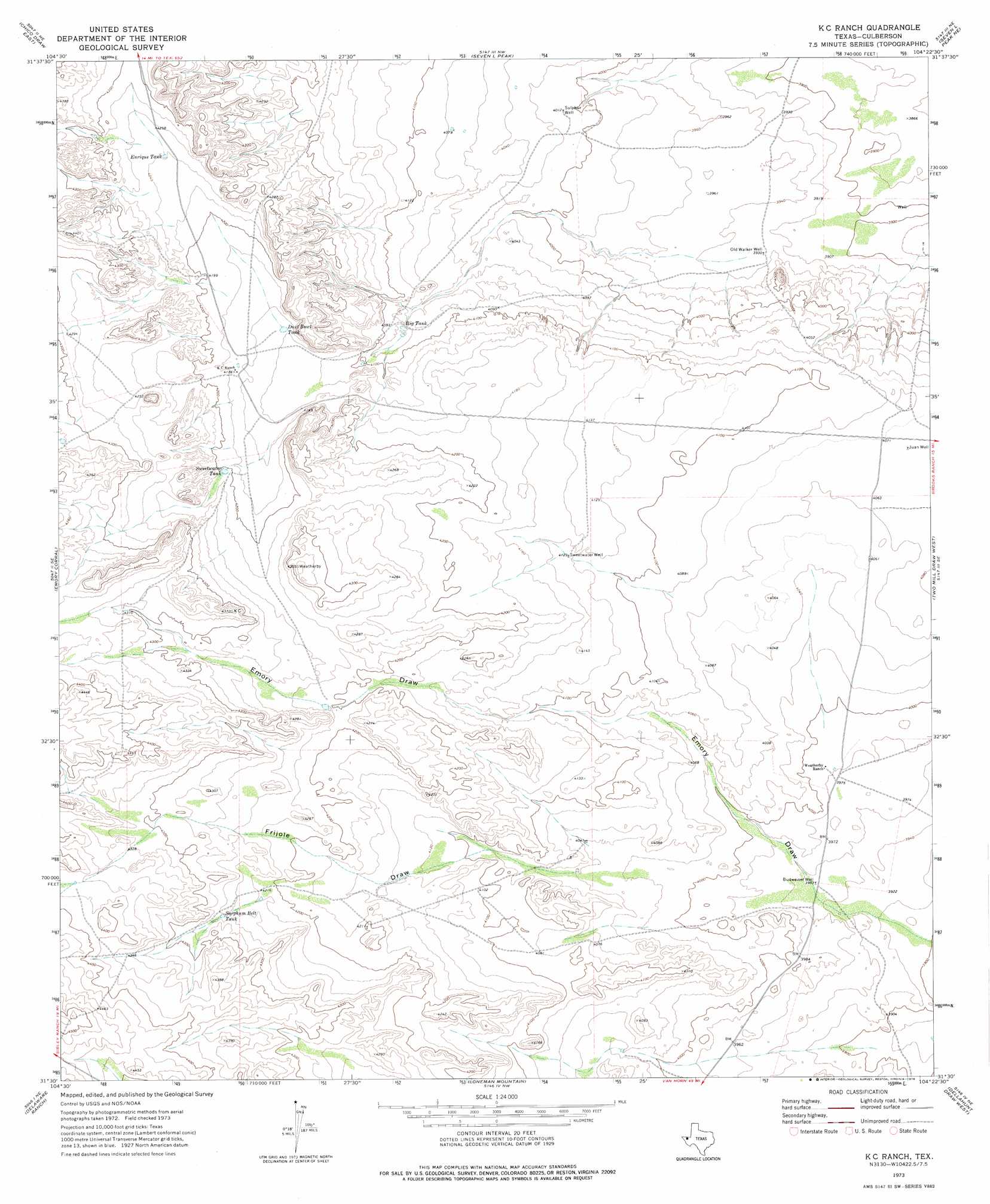
USGS Topo Quad 31104e4 - 1:24,000 scale
| Topo Map Name: | Kc Ranch |
| USGS Topo Quad ID: | 31104e4 |
| Print Size: | ca. 21 1/4" wide x 27" high |
| Southeast Coordinates: | 31.5° N latitude / 104.375° W longitude |
| Map Center Coordinates: | 31.5625° N latitude / 104.4375° W longitude |
| U.S. State: | TX |
| Filename: | o31104e4.jpg |
| Download Map JPG Image: | Kc Ranch topo map 1:24,000 scale |
| Map Type: | Topographic |
| Topo Series: | 7.5´ |
| Map Scale: | 1:24,000 |
| Source of Map Images: | United States Geological Survey (USGS) |
| Alternate Map Versions: |
K C Ranch TX 1973, updated 1976 Download PDF Buy paper map K C Ranch TX 2010 Download PDF Buy paper map K C Ranch TX 2012 Download PDF Buy paper map K C Ranch TX 2016 Download PDF Buy paper map |
1:24,000 Topo Quads surrounding Kc Ranch
Long Point |
Cow Mountain |
Delaware Spring |
Castile Hill |
Screw Bean Draw West |
Chico Draw West |
Chico Draw East |
Seven L Peak |
Seven L Peak Ne |
Rustler Hills |
Burro Canyon |
Emory Corral |
Kc Ranch |
Two Mill Draw West |
Two Mill Draw East |
Seven Heart Gap Nw |
Delaware Ranch |
Loneman Mountain |
Dellahunt Draw West |
Dellahunt Draw East |
Square Mesa |
Seven Heart Gap |
Dome Hill |
Hopper Draw West |
Hopper Draw East |
> Back to 31104e1 at 1:100,000 scale
> Back to 31104a1 at 1:250,000 scale
> Back to U.S. Topo Maps home
Kc Ranch topo map: Gazetteer
Kc Ranch: Reservoirs
Big Tank elevation 1244m 4081′Dust Bowl Tank elevation 1263m 4143′
Enrique Tank elevation 1293m 4242′
Sarghum Belt Tank elevation 1299m 4261′
Sweetwater Tank elevation 1282m 4206′
Kc Ranch: Valleys
Emory Draw elevation 1189m 3900′Frijole Draw elevation 1233m 4045′
Kc Ranch: Wells
Budweiser Well elevation 1204m 3950′Juan Well elevation 1240m 4068′
Old Walker Well elevation 1199m 3933′
Sulphur Well elevation 1223m 4012′
Sweetwater Well elevation 1257m 4124′
Kc Ranch digital topo map on disk
Buy this Kc Ranch topo map showing relief, roads, GPS coordinates and other geographical features, as a high-resolution digital map file on DVD: