Ysleta Nw Topo Map Texas
To zoom in, hover over the map of Ysleta Nw
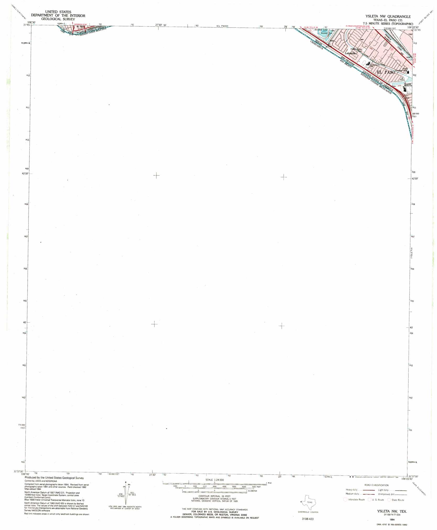
USGS Topo Quad 31106f4 - 1:24,000 scale
| Topo Map Name: | Ysleta Nw |
| USGS Topo Quad ID: | 31106f4 |
| Print Size: | ca. 21 1/4" wide x 27" high |
| Southeast Coordinates: | 31.625° N latitude / 106.375° W longitude |
| Map Center Coordinates: | 31.6875° N latitude / 106.4375° W longitude |
| U.S. State: | TX |
| Filename: | o31106f4.jpg |
| Download Map JPG Image: | Ysleta Nw topo map 1:24,000 scale |
| Map Type: | Topographic |
| Topo Series: | 7.5´ |
| Map Scale: | 1:24,000 |
| Source of Map Images: | United States Geological Survey (USGS) |
| Alternate Map Versions: |
Ysleta NW TX 1955, updated 1959 Download PDF Buy paper map Ysleta NW TX 1955, updated 1967 Download PDF Buy paper map Ysleta NW TX 1955, updated 1991 Download PDF Buy paper map Ysleta NW TX 1990, updated 1991 Download PDF Buy paper map Ysleta NW TX 1994, updated 1994 Download PDF Buy paper map Ysleta NW TX 2010 Download PDF Buy paper map Ysleta NW TX 2012 Download PDF Buy paper map Ysleta NW TX 2016 Download PDF Buy paper map |
1:24,000 Topo Quads surrounding Ysleta Nw
La Union |
Canutillo |
North Franklin Mountain |
Fort Bliss Ne |
Nations East Well |
Strauss |
Smeltertown |
El Paso |
Fort Bliss Se |
Nations South Well |
Ysleta Nw |
Ysleta |
Clint Nw |
||
San Elizario |
Clint |
|||
Isla |
> Back to 31106e1 at 1:100,000 scale
> Back to 31106a1 at 1:250,000 scale
> Back to U.S. Topo Maps home
Ysleta Nw topo map: Gazetteer
Ysleta Nw: Canals
Playa Drain elevation 1124m 3687′Valley Gate Lateral elevation 1124m 3687′
Ysleta Nw: Parks
Hidden Valley Park elevation 1124m 3687′Riverfront Stadium - Riverside High School elevation 1124m 3687′
Ysleta Nw: Populated Places
Lakeside elevation 1125m 3690′Ysleta Nw digital topo map on disk
Buy this Ysleta Nw topo map showing relief, roads, GPS coordinates and other geographical features, as a high-resolution digital map file on DVD: