Eagle Mountain Topo Map New Mexico
To zoom in, hover over the map of Eagle Mountain
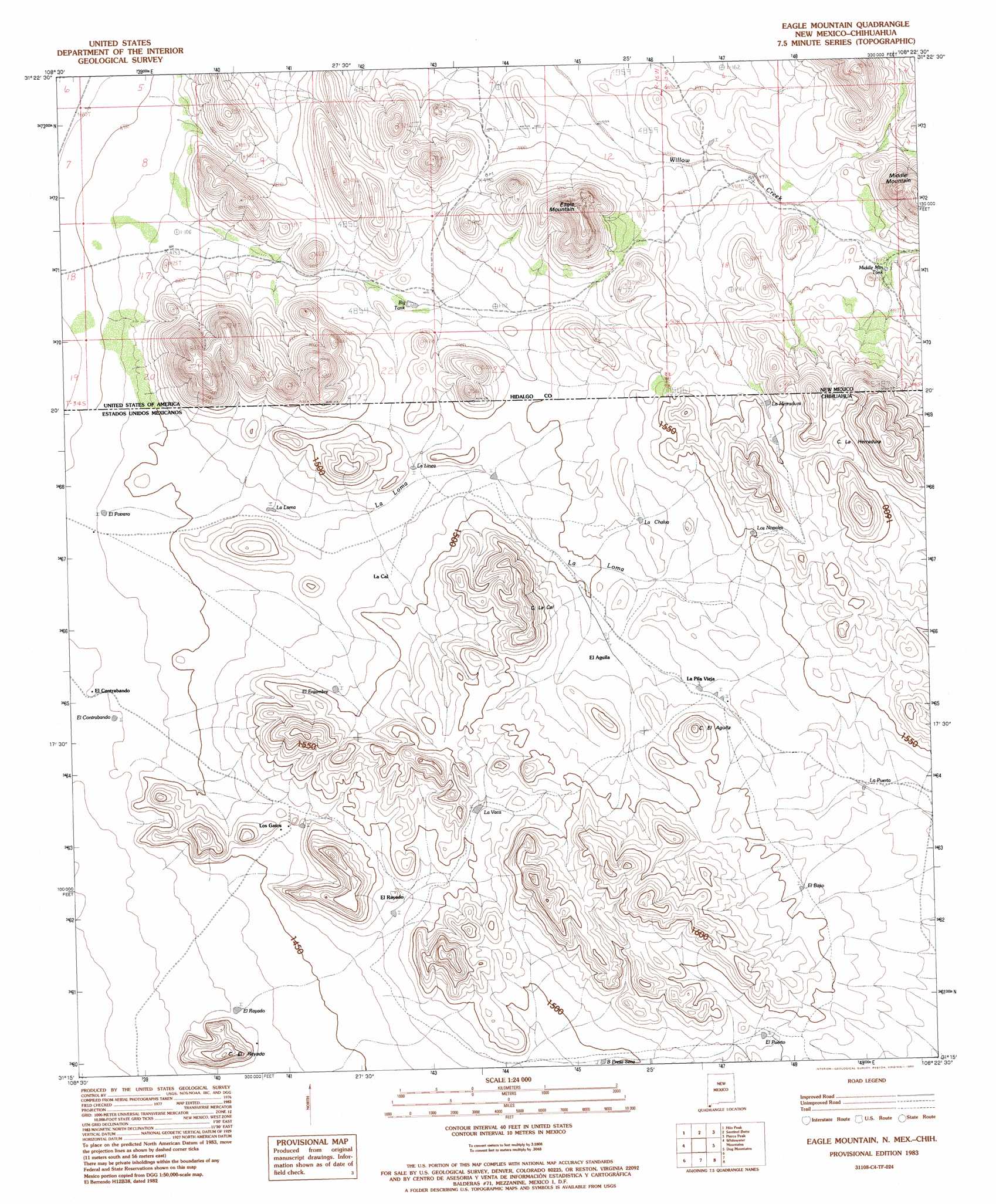
USGS Topo Quad 31108c4 - 1:24,000 scale
| Topo Map Name: | Eagle Mountain |
| USGS Topo Quad ID: | 31108c4 |
| Print Size: | ca. 21 1/4" wide x 27" high |
| Southeast Coordinates: | 31.25° N latitude / 108.375° W longitude |
| Map Center Coordinates: | 31.3125° N latitude / 108.4375° W longitude |
| U.S. State: | NM |
| Filename: | o31108c4.jpg |
| Download Map JPG Image: | Eagle Mountain topo map 1:24,000 scale |
| Map Type: | Topographic |
| Topo Series: | 7.5´ |
| Map Scale: | 1:24,000 |
| Source of Map Images: | United States Geological Survey (USGS) |
| Alternate Map Versions: |
Eagle Mountain NM 1983, updated 1983 Download PDF Buy paper map Eagle Mountain NM 2010 Download PDF Buy paper map Eagle Mountain NM 2013 Download PDF Buy paper map |
1:24,000 Topo Quads surrounding Eagle Mountain
Center Peak |
Horse Mountain |
U Bar Ridge |
Sheridan Canyon |
Cabin Wells |
San Luis Pass |
Hilo Peak |
Sentinel Butte |
Pierce Peak |
Campbells Well |
Whitewater Creek |
Whitewater Mountains |
Eagle Mountain |
Dog Mountains |
Corner Well |
> Back to 31108a1 at 1:100,000 scale
> Back to 31108a1 at 1:250,000 scale
> Back to U.S. Topo Maps home
Eagle Mountain topo map: Gazetteer
Eagle Mountain: Reservoirs
Big Tank elevation 1473m 4832′Middle Mountain Tank elevation 1517m 4977′
Eagle Mountain: Summits
Eagle Mountain elevation 1652m 5419′Middle Mountain elevation 1660m 5446′
Eagle Mountain digital topo map on disk
Buy this Eagle Mountain topo map showing relief, roads, GPS coordinates and other geographical features, as a high-resolution digital map file on DVD: