Samaniego Peak Topo Map Arizona
To zoom in, hover over the map of Samaniego Peak
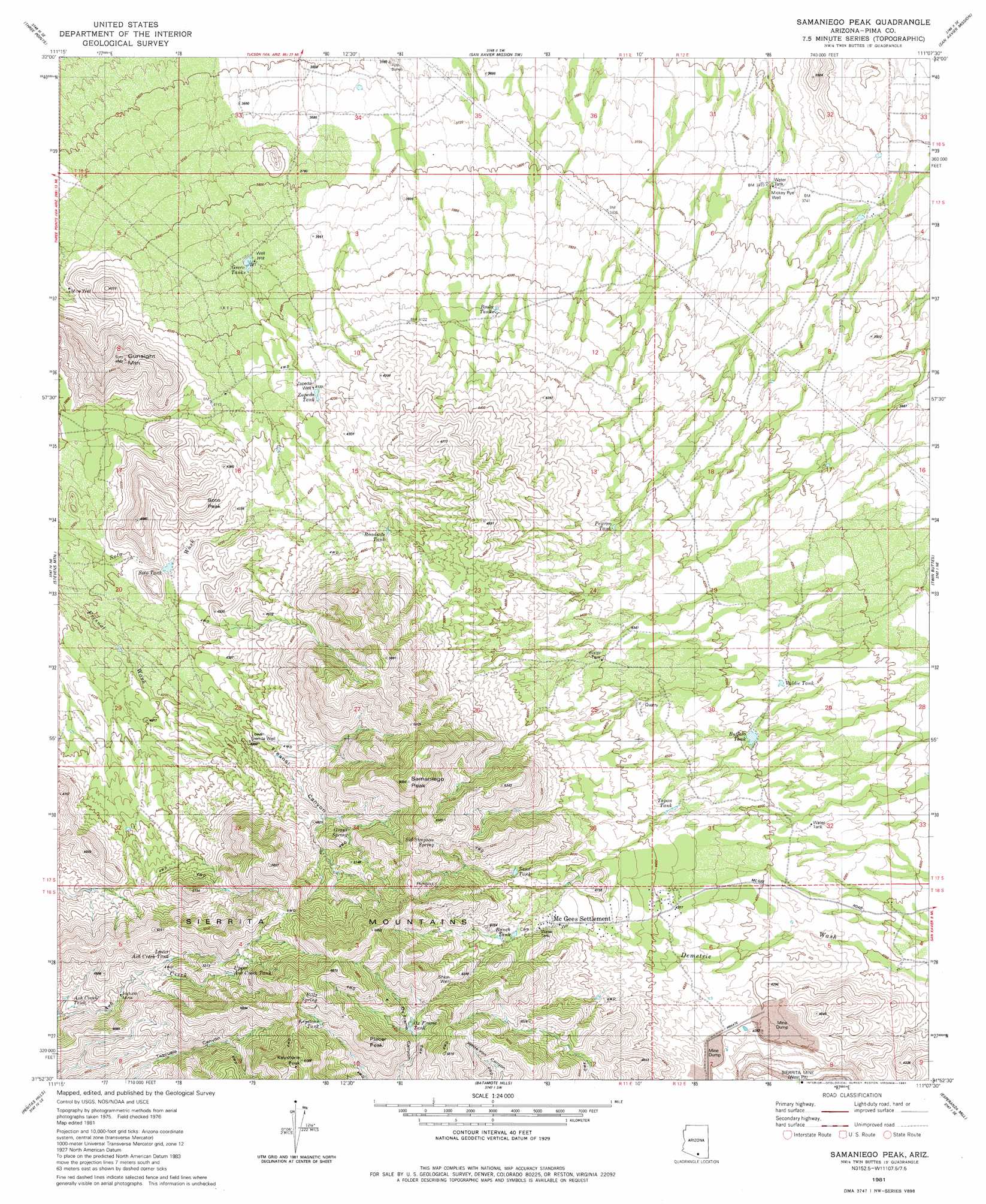
USGS Topo Quad 31111h2 - 1:24,000 scale
| Topo Map Name: | Samaniego Peak |
| USGS Topo Quad ID: | 31111h2 |
| Print Size: | ca. 21 1/4" wide x 27" high |
| Southeast Coordinates: | 31.875° N latitude / 111.125° W longitude |
| Map Center Coordinates: | 31.9375° N latitude / 111.1875° W longitude |
| U.S. State: | AZ |
| Filename: | o31111h2.jpg |
| Download Map JPG Image: | Samaniego Peak topo map 1:24,000 scale |
| Map Type: | Topographic |
| Topo Series: | 7.5´ |
| Map Scale: | 1:24,000 |
| Source of Map Images: | United States Geological Survey (USGS) |
| Alternate Map Versions: |
Samaniego Peak AZ 1981, updated 1981 Download PDF Buy paper map Samaniego Peak AZ 1981, updated 1981 Download PDF Buy paper map Samaniego Peak AZ 2011 Download PDF Buy paper map Samaniego Peak AZ 2014 Download PDF Buy paper map |
1:24,000 Topo Quads surrounding Samaniego Peak
La Tortuga Butte |
Cocoraque Butte |
Brown Mountain |
Cat Mountain |
Tucson |
San Pedro |
Three Points |
San Xavier Mission Sw |
San Xavier Mission |
Tucson Sw |
Palo Alto Ranch |
Stevens Mountain |
Samaniego Peak |
Twin Buttes |
Sahuarita |
Fresno Wash |
Penitas Hills |
Batamote Hills |
Esperanza Mill |
Green Valley |
Las Guijas |
Cerro Colorado |
Saucito Mountain |
Amado |
Mount Hopkins |
> Back to 31111e1 at 1:100,000 scale
> Back to 31110a1 at 1:250,000 scale
> Back to U.S. Topo Maps home
Samaniego Peak topo map: Gazetteer
Samaniego Peak: Mines
Fortuna Mine elevation 1381m 4530′Sierrita Mine West Pit elevation 1191m 3907′
Samaniego Peak: Ranges
Sierrita Mountains elevation 0m 0′Samaniego Peak: Reservoirs
Ash Creek Tank elevation 1359m 4458′Broke Tanks elevation 1243m 4078′
Buffalo Tank elevation 1277m 4189′
Green Tanks elevation 1191m 3907′
Keystone Tank elevation 1715m 5626′
Lower Ash Creek Tank elevation 1445m 4740′
Ox Frame Tank elevation 1612m 5288′
Peyron Tank elevation 1316m 4317′
Ranch Tank elevation 1494m 4901′
Sand Tank elevation 1436m 4711′
Soto Tank elevation 1240m 4068′
Tapon Tank elevation 1320m 4330′
Upper Ash Creek Tank elevation 1558m 5111′
Valdie Tank elevation 1261m 4137′
Zapeda Tank elevation 1267m 4156′
Samaniego Peak: Springs
Bills Spring elevation 1780m 5839′Grays Spring elevation 1466m 4809′
Sid Simpson Spring elevation 1604m 5262′
Samaniego Peak: Summits
Gunsight Mountain elevation 1411m 4629′Keystone Peak elevation 1881m 6171′
Placer Peak elevation 1801m 5908′
Samaniego Peak elevation 0m 0′
Soto Peak elevation 1367m 4484′
Samaniego Peak: Valleys
Fresnal Canyon elevation 1243m 4078′Samaniego Peak: Wells
Lower Sierrita Well elevation 1340m 4396′Mickey Rye Well elevation 1135m 3723′
Shloh Well elevation 1584m 5196′
Zapeda Well elevation 1261m 4137′
Samaniego Peak digital topo map on disk
Buy this Samaniego Peak topo map showing relief, roads, GPS coordinates and other geographical features, as a high-resolution digital map file on DVD: