Necessity Topo Map Texas
To zoom in, hover over the map of Necessity
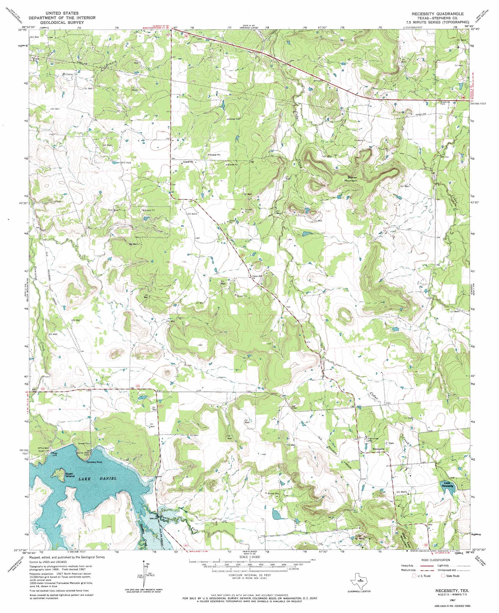
USGS Topo Quad 32098f7 - 1:24,000 scale
| Topo Map Name: | Necessity |
| USGS Topo Quad ID: | 32098f7 |
| Print Size: | ca. 21 1/4" wide x 27" high |
| Southeast Coordinates: | 32.625° N latitude / 98.75° W longitude |
| Map Center Coordinates: | 32.6875° N latitude / 98.8125° W longitude |
| U.S. State: | TX |
| Filename: | o32098f7.jpg |
| Download Map JPG Image: | Necessity topo map 1:24,000 scale |
| Map Type: | Topographic |
| Topo Series: | 7.5´ |
| Map Scale: | 1:24,000 |
| Source of Map Images: | United States Geological Survey (USGS) |
| Alternate Map Versions: |
Necessity TX 1967, updated 1970 Download PDF Buy paper map Necessity TX 2010 Download PDF Buy paper map Necessity TX 2012 Download PDF Buy paper map Necessity TX 2016 Download PDF Buy paper map |
1:24,000 Topo Quads surrounding Necessity
Lusk |
Crystal Falls |
Eliasville |
Ivan North |
Cove Creek |
Edwards Branch |
Breckenridge |
Grand Lake |
Ivan South |
Brad |
Eolian |
Buck Mountain |
Necessity |
Caddo |
Caddo Ne |
Indian Knoll |
Harpersville |
Wayland |
La Casa |
Strawn West |
Bernie Lake |
Cisco North |
Eastland |
Ranger |
Bear Mountain |
> Back to 32098e1 at 1:100,000 scale
> Back to 32098a1 at 1:250,000 scale
> Back to U.S. Topo Maps home
Necessity topo map: Gazetteer
Necessity: Airports
Caselman Ranch Airport elevation 424m 1391′Necessity: Capes
Cemetery Point elevation 401m 1315′Necessity: Dams
Gonzales Creek Dam elevation 390m 1279′J M Frambo Lake Dam elevation 408m 1338′
Lake Necessity Dam elevation 433m 1420′
Necessity: Islands
Goat Island elevation 399m 1309′Necessity: Populated Places
Necessity elevation 434m 1423′Necessity: Reservoirs
J M Frambo Lake elevation 408m 1338′Lake Daniel elevation 392m 1286′
Lake Necessity elevation 433m 1420′
Necessity: Streams
East Fork Gunsolus Creek elevation 390m 1279′Necessity: Summits
Beaver Mountain elevation 446m 1463′Necessity digital topo map on disk
Buy this Necessity topo map showing relief, roads, GPS coordinates and other geographical features, as a high-resolution digital map file on DVD: