Collins Creek Sw Topo Map Texas
To zoom in, hover over the map of Collins Creek Sw
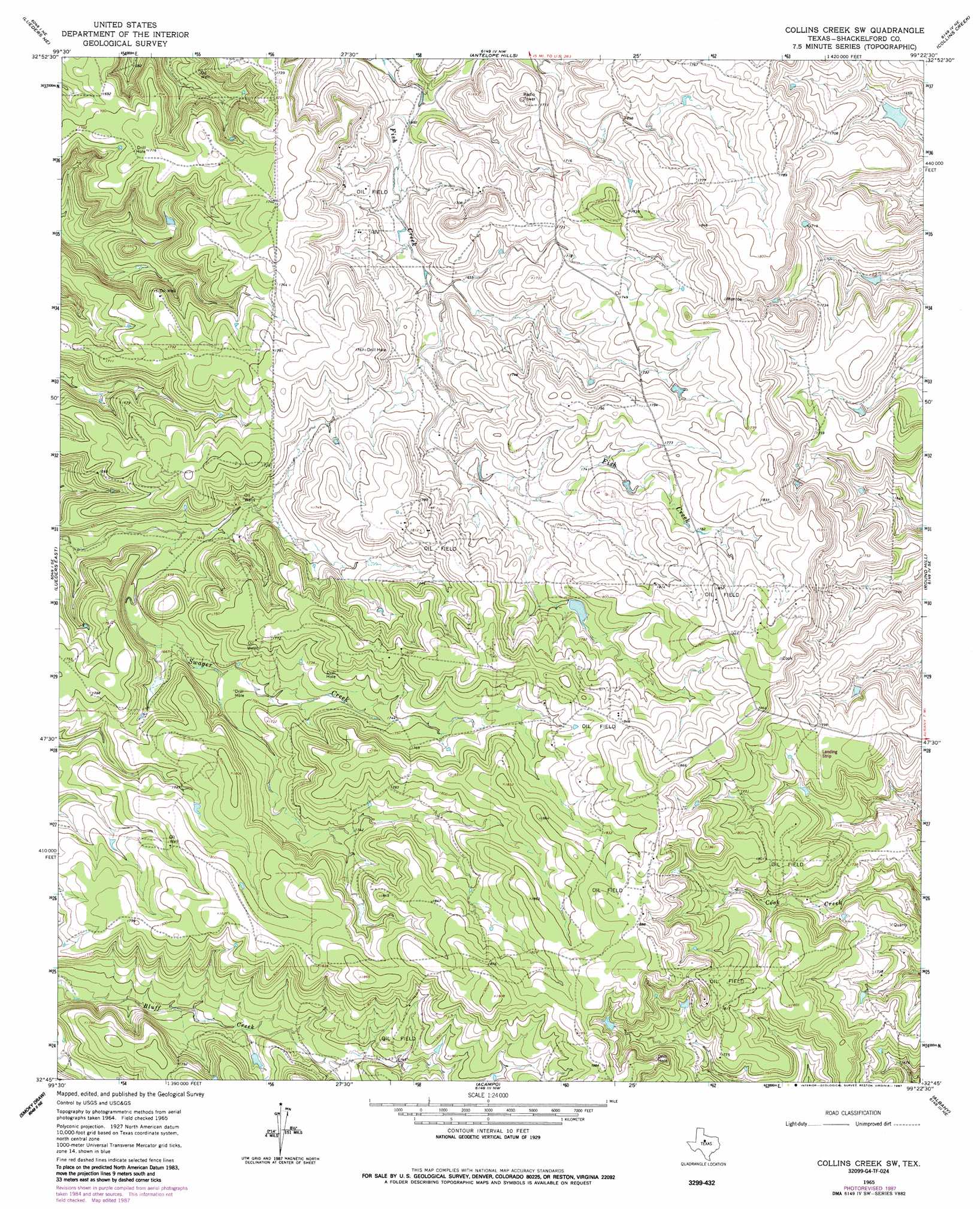
USGS Topo Quad 32099g4 - 1:24,000 scale
| Topo Map Name: | Collins Creek Sw |
| USGS Topo Quad ID: | 32099g4 |
| Print Size: | ca. 21 1/4" wide x 27" high |
| Southeast Coordinates: | 32.75° N latitude / 99.375° W longitude |
| Map Center Coordinates: | 32.8125° N latitude / 99.4375° W longitude |
| U.S. State: | TX |
| Filename: | o32099g4.jpg |
| Download Map JPG Image: | Collins Creek Sw topo map 1:24,000 scale |
| Map Type: | Topographic |
| Topo Series: | 7.5´ |
| Map Scale: | 1:24,000 |
| Source of Map Images: | United States Geological Survey (USGS) |
| Alternate Map Versions: |
Collins Creek SW TX 1965, updated 1967 Download PDF Buy paper map Collins Creek SW TX 1965, updated 1987 Download PDF Buy paper map Collins Creek SW TX 2010 Download PDF Buy paper map Collins Creek SW TX 2012 Download PDF Buy paper map Collins Creek SW TX 2016 Download PDF Buy paper map |
1:24,000 Topo Quads surrounding Collins Creek Sw
Lake Stamford West |
Lake Stamford East |
Hoover Mountain |
Reynolds Bend |
Sibley Creek |
Lueders Nw |
Lueders Ne |
Antelope Hills |
Collins Creek |
Fort Griffin |
Lueders West |
Lueders East |
Collins Creek Sw |
Round Hill |
Murphy Creek |
Nugent |
Smokey Draw |
Acampo |
Albany |
Mccathrine Mountain |
Hamby |
Flattop |
Leeper Creek |
Snyder Lake |
Moran |
> Back to 32099e1 at 1:100,000 scale
> Back to 32098a1 at 1:250,000 scale
> Back to U.S. Topo Maps home
No gazetteer data is available for the Collins Creek Sw topo map sheet.
Collins Creek Sw digital topo map on disk
Buy this Collins Creek Sw topo map showing relief, roads, GPS coordinates and other geographical features, as a high-resolution digital map file on DVD: