Blackwell Sw Topo Map Texas
To zoom in, hover over the map of Blackwell Sw
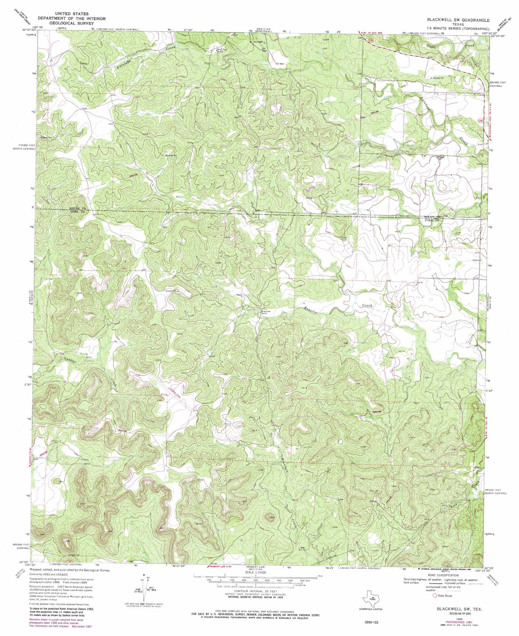
USGS Topo Quad 32100a4 - 1:24,000 scale
| Topo Map Name: | Blackwell Sw |
| USGS Topo Quad ID: | 32100a4 |
| Print Size: | ca. 21 1/4" wide x 27" high |
| Southeast Coordinates: | 32° N latitude / 100.375° W longitude |
| Map Center Coordinates: | 32.0625° N latitude / 100.4375° W longitude |
| U.S. State: | TX |
| Filename: | o32100a4.jpg |
| Download Map JPG Image: | Blackwell Sw topo map 1:24,000 scale |
| Map Type: | Topographic |
| Topo Series: | 7.5´ |
| Map Scale: | 1:24,000 |
| Source of Map Images: | United States Geological Survey (USGS) |
| Alternate Map Versions: |
Blackwell SW TX 1969, updated 1972 Download PDF Buy paper map Blackwell SW TX 1969, updated 1987 Download PDF Buy paper map Blackwell SW TX 2010 Download PDF Buy paper map Blackwell SW TX 2012 Download PDF Buy paper map Blackwell SW TX 2016 Download PDF Buy paper map |
1:24,000 Topo Quads surrounding Blackwell Sw
Baumann School |
Bench Mountain |
Lake Trammell |
Holder Creek |
Nolan |
Dam Draw |
Dew Drop Creek |
Maryneal |
Blackwell Ne |
Hylton |
Silver |
Sanco |
Blackwell Sw |
Blackwell |
Church Peak |
Green Mountain |
Edith |
Robert Lee |
Bronte |
Hog Mountain |
Divide |
Millican Mountains |
Cement Mountain |
Shawville |
Maverick |
> Back to 32100a1 at 1:100,000 scale
> Back to 32100a1 at 1:250,000 scale
> Back to U.S. Topo Maps home
No gazetteer data is available for the Blackwell Sw topo map sheet.
Blackwell Sw digital topo map on disk
Buy this Blackwell Sw topo map showing relief, roads, GPS coordinates and other geographical features, as a high-resolution digital map file on DVD: