Houston Ranch Topo Map Texas
To zoom in, hover over the map of Houston Ranch
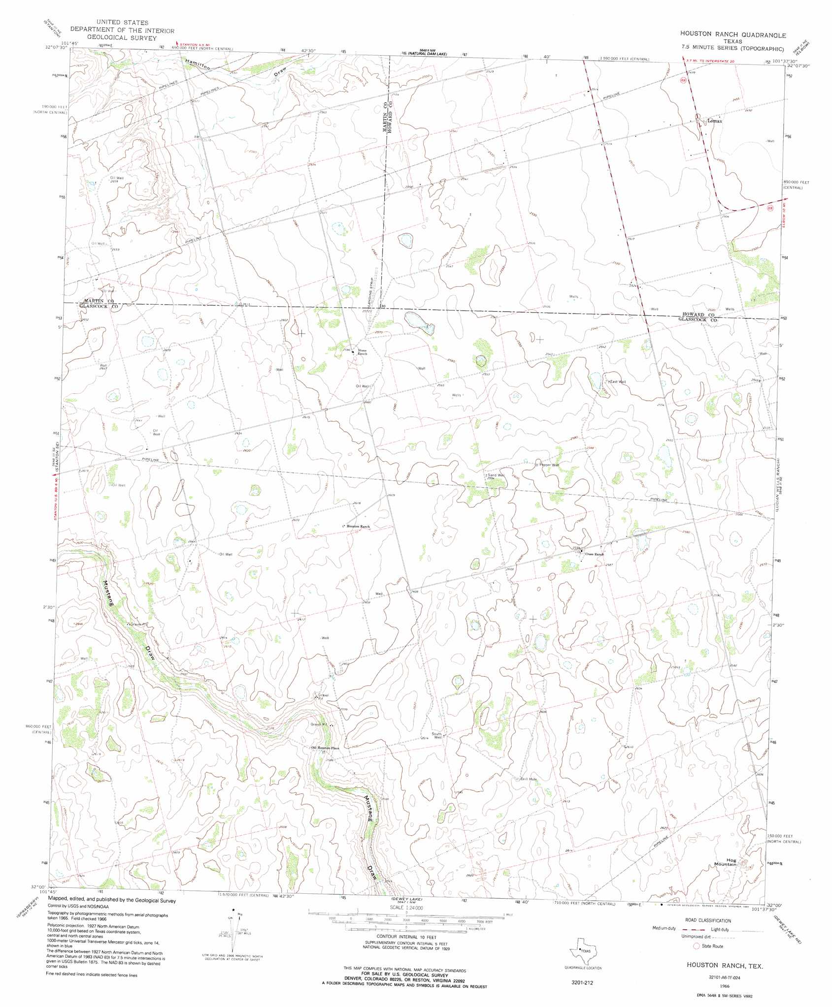
USGS Topo Quad 32101a6 - 1:24,000 scale
| Topo Map Name: | Houston Ranch |
| USGS Topo Quad ID: | 32101a6 |
| Print Size: | ca. 21 1/4" wide x 27" high |
| Southeast Coordinates: | 32° N latitude / 101.625° W longitude |
| Map Center Coordinates: | 32.0625° N latitude / 101.6875° W longitude |
| U.S. State: | TX |
| Filename: | o32101a6.jpg |
| Download Map JPG Image: | Houston Ranch topo map 1:24,000 scale |
| Map Type: | Topographic |
| Topo Series: | 7.5´ |
| Map Scale: | 1:24,000 |
| Source of Map Images: | United States Geological Survey (USGS) |
| Alternate Map Versions: |
Houston Ranch TX 1966, updated 1968 Download PDF Buy paper map Houston Ranch TX 1966, updated 1991 Download PDF Buy paper map Houston Ranch TX 2010 Download PDF Buy paper map Houston Ranch TX 2012 Download PDF Buy paper map Houston Ranch TX 2016 Download PDF Buy paper map |
1:24,000 Topo Quads surrounding Houston Ranch
Lenorah West |
Lenorah East |
Knott Sw |
Knott Se |
Big Spring North |
Dickenson Ranch |
Stanton |
Natural Dam Lake |
Elbow |
Big Spring South |
Germania |
Stanton Se |
Houston Ranch |
Lucian Wells Ranch |
Lees |
Stephenson Lake |
Spraberry |
Dewey Lake |
Dewey Lake Ne |
Ballinger Ranch |
Salt Lake |
Pecks Lake |
Patterson Lake |
Dewey Lake Se |
Garden City |
> Back to 32101a1 at 1:100,000 scale
> Back to 32100a1 at 1:250,000 scale
> Back to U.S. Topo Maps home
Houston Ranch topo map: Gazetteer
Houston Ranch: Populated Places
Lomax elevation 762m 2500′Old Houston Place elevation 780m 2559′
Houston Ranch: Summits
Hog Mountain elevation 796m 2611′Houston Ranch: Wells
East Well elevation 781m 2562′Pepper Well elevation 793m 2601′
Sand Well elevation 790m 2591′
South Well elevation 796m 2611′
Houston Ranch digital topo map on disk
Buy this Houston Ranch topo map showing relief, roads, GPS coordinates and other geographical features, as a high-resolution digital map file on DVD: