Five Wells Ranch Topo Map Texas
To zoom in, hover over the map of Five Wells Ranch
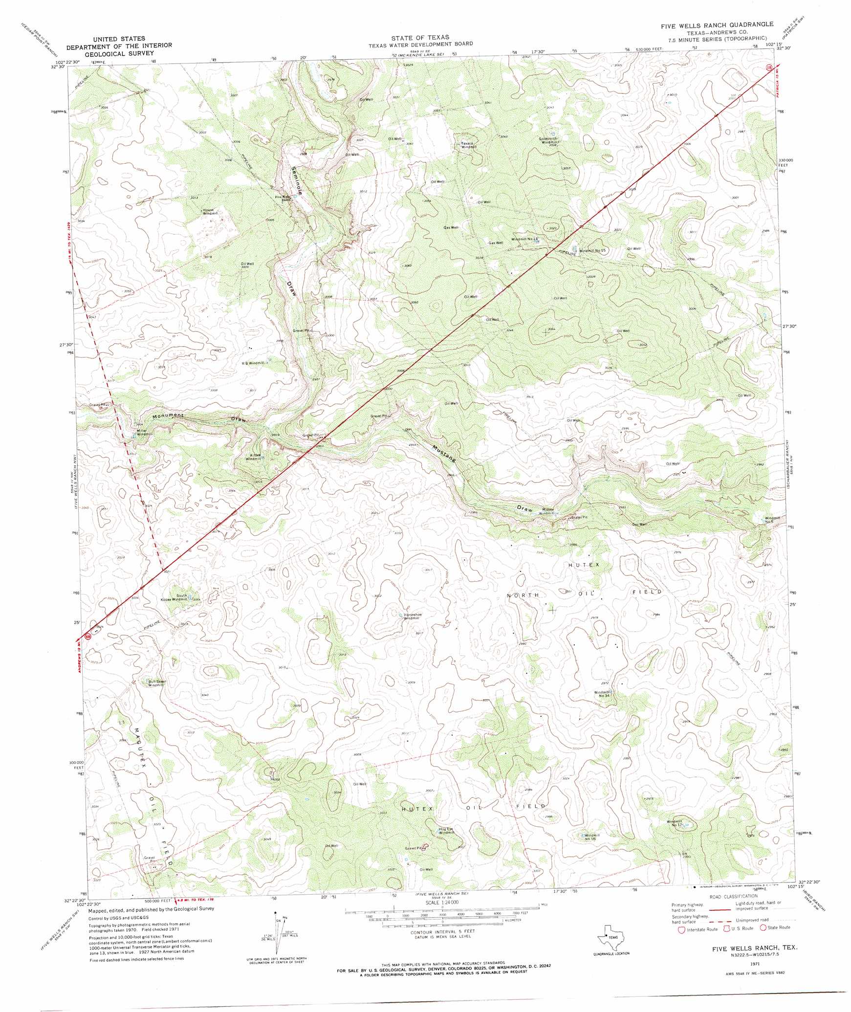
USGS Topo Quad 32102d3 - 1:24,000 scale
| Topo Map Name: | Five Wells Ranch |
| USGS Topo Quad ID: | 32102d3 |
| Print Size: | ca. 21 1/4" wide x 27" high |
| Southeast Coordinates: | 32.375° N latitude / 102.25° W longitude |
| Map Center Coordinates: | 32.4375° N latitude / 102.3125° W longitude |
| U.S. State: | TX |
| Filename: | o32102d3.jpg |
| Download Map JPG Image: | Five Wells Ranch topo map 1:24,000 scale |
| Map Type: | Topographic |
| Topo Series: | 7.5´ |
| Map Scale: | 1:24,000 |
| Source of Map Images: | United States Geological Survey (USGS) |
| Alternate Map Versions: |
Five Wells Ranch TX 1971, updated 1974 Download PDF Buy paper map Five Wells Ranch TX 2010 Download PDF Buy paper map Five Wells Ranch TX 2012 Download PDF Buy paper map Five Wells Ranch TX 2016 Download PDF Buy paper map |
1:24,000 Topo Quads surrounding Five Wells Ranch
Seminole Ne |
Mckenzie Lake Nw |
Mckenzie Lake |
Sand |
Patricia Ne |
Seminole Se |
Cedar Point Ranch |
Mckenzie Lake Se |
Patricia Sw |
Patricia |
Florey |
Five Wells Ranch Nw |
Five Wells Ranch |
Scharbauer Ranch |
Wolcott Ranch |
Andrews |
Five Wells Ranch Sw |
Five Wells Ranch Se |
Bird Ranch |
Flynt Ranch |
Clabber Hill Ranch |
Gardendale Nw |
Baird Lake |
Mabee Ranch |
North Curtis Ranch |
> Back to 32102a1 at 1:100,000 scale
> Back to 32102a1 at 1:250,000 scale
> Back to U.S. Topo Maps home
Five Wells Ranch topo map: Gazetteer
Five Wells Ranch: Oilfields
Hutex North Oil Field elevation 912m 2992′Hutex Oil Field elevation 916m 3005′
Five Wells Ranch: Valleys
Monument Draw elevation 903m 2962′Seminole Draw elevation 903m 2962′
Five Wells Ranch digital topo map on disk
Buy this Five Wells Ranch topo map showing relief, roads, GPS coordinates and other geographical features, as a high-resolution digital map file on DVD: