Rattlesnake Canyon Topo Map New Mexico
To zoom in, hover over the map of Rattlesnake Canyon
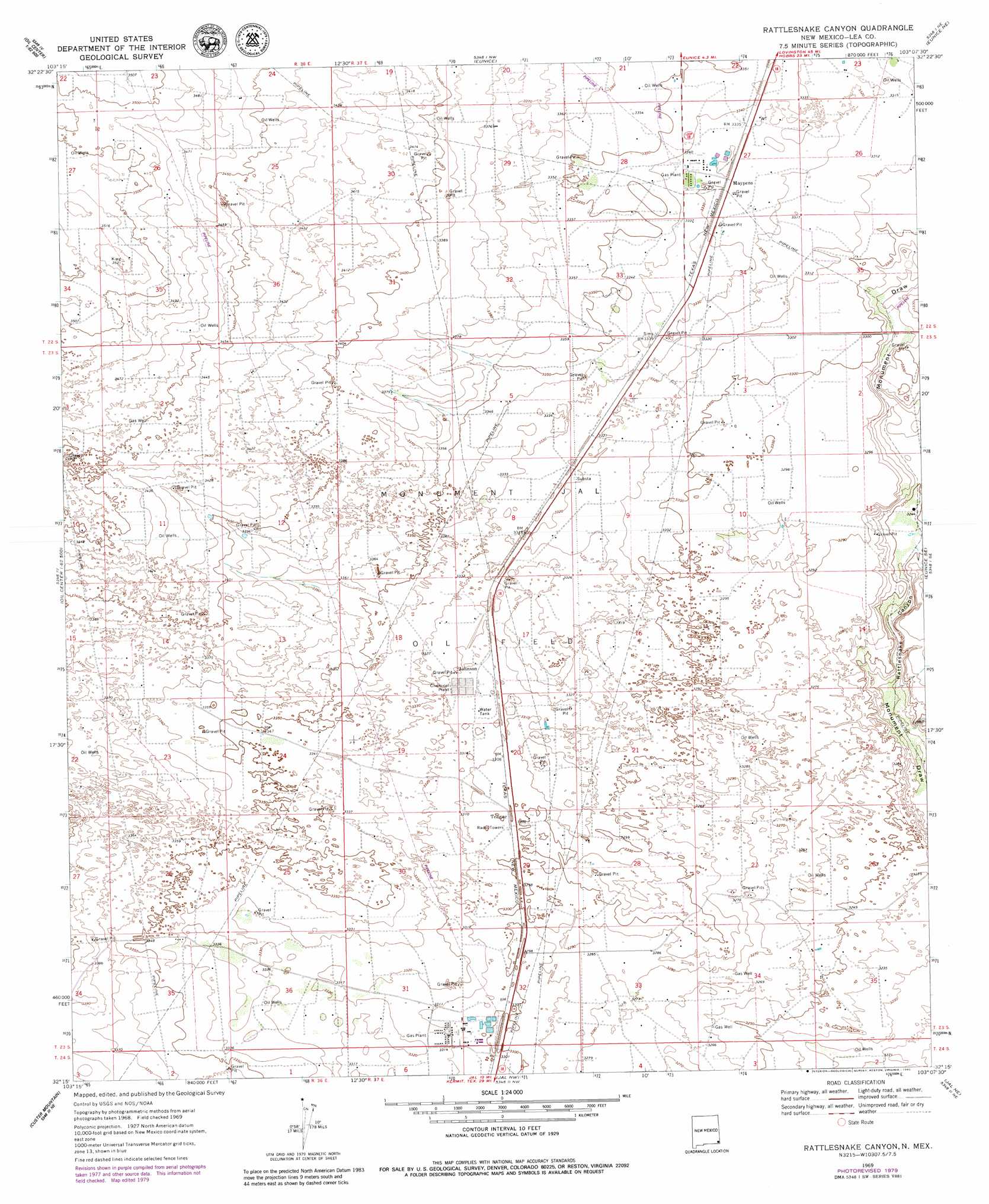
USGS Topo Quad 32103c2 - 1:24,000 scale
| Topo Map Name: | Rattlesnake Canyon |
| USGS Topo Quad ID: | 32103c2 |
| Print Size: | ca. 21 1/4" wide x 27" high |
| Southeast Coordinates: | 32.25° N latitude / 103.125° W longitude |
| Map Center Coordinates: | 32.3125° N latitude / 103.1875° W longitude |
| U.S. State: | NM |
| Filename: | o32103c2.jpg |
| Download Map JPG Image: | Rattlesnake Canyon topo map 1:24,000 scale |
| Map Type: | Topographic |
| Topo Series: | 7.5´ |
| Map Scale: | 1:24,000 |
| Source of Map Images: | United States Geological Survey (USGS) |
| Alternate Map Versions: |
Rattlesnake Canyon NM 1969, updated 1973 Download PDF Buy paper map Rattlesnake Canyon NM 1969, updated 1980 Download PDF Buy paper map Rattlesnake Canyon NM 2010 Download PDF Buy paper map Rattlesnake Canyon NM 2013 Download PDF Buy paper map Rattlesnake Canyon NM 2017 Download PDF Buy paper map |
1:24,000 Topo Quads surrounding Rattlesnake Canyon
Monument Sw |
Monument South |
Hobbs Sw |
Hobbs Se |
Brinson Ranch |
San Simon Ranch |
Oil Center |
Eunice |
Eunice Ne |
Jumbo Hill |
San Simon Sink |
East Lake |
Rattlesnake Canyon |
Eunice Se |
Frankel City Sw |
Woodley Flat |
Custer Mountain |
Jal Nw |
Jal Ne |
Figure Seven Ranch |
Andrews Place |
Javelina Basin |
Jal |
Jal Se |
Yt Ranch |
> Back to 32103a1 at 1:100,000 scale
> Back to 32102a1 at 1:250,000 scale
> Back to U.S. Topo Maps home
Rattlesnake Canyon topo map: Gazetteer
Rattlesnake Canyon: Populated Places
Maypens elevation 1015m 3330′Rattlesnake Canyon: Valleys
Rattlesnake Canyon elevation 982m 3221′Rattlesnake Canyon: Wells
10508 Water Well elevation 1030m 3379′10511 Water Well elevation 1028m 3372′
10512 Water Well elevation 1024m 3359′
10513 Water Well elevation 1019m 3343′
10516 Water Well elevation 1020m 3346′
10517 Water Well elevation 1015m 3330′
10518 Water Well elevation 1013m 3323′
10519 Water Well elevation 1021m 3349′
10520 Water Well elevation 1005m 3297′
10521 Water Well elevation 996m 3267′
10522 Water Well elevation 996m 3267′
10523 Water Well elevation 1006m 3300′
10524 Water Well elevation 1006m 3300′
10525 Water Well elevation 1005m 3297′
10526 Water Well elevation 1015m 3330′
10527 Water Well elevation 1015m 3330′
10528 Water Well elevation 1014m 3326′
10529 Water Well elevation 1015m 3330′
10530 Water Well elevation 1013m 3323′
10531 Water Well elevation 1031m 3382′
10532 Water Well elevation 1027m 3369′
10533 Water Well elevation 1003m 3290′
10533 Water Well elevation 1001m 3284′
10534 Water Well elevation 1002m 3287′
10536 Water Well elevation 1008m 3307′
10537 Water Well elevation 1009m 3310′
10538 Water Well elevation 1009m 3310′
10539 Water Well elevation 1002m 3287′
10540 Water Well elevation 978m 3208′
10541 Water Well elevation 995m 3264′
10542 Water Well elevation 995m 3264′
10543 Water Well elevation 1005m 3297′
10544 Water Well elevation 1006m 3300′
10545 Water Well elevation 1010m 3313′
10546 Water Well elevation 1007m 3303′
10547 Water Well elevation 1005m 3297′
10548 Water Well elevation 1000m 3280′
10549 Water Well elevation 999m 3277′
Rattlesnake Canyon digital topo map on disk
Buy this Rattlesnake Canyon topo map showing relief, roads, GPS coordinates and other geographical features, as a high-resolution digital map file on DVD: