Livingston Ridge Topo Map New Mexico
To zoom in, hover over the map of Livingston Ridge
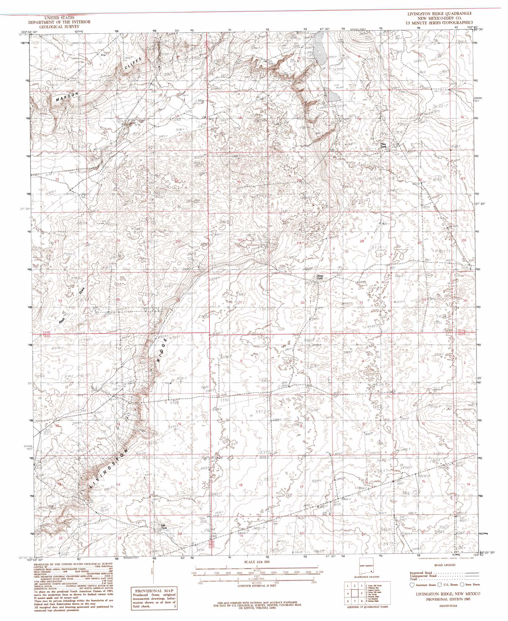
USGS Topo Quad 32103d7 - 1:24,000 scale
| Topo Map Name: | Livingston Ridge |
| USGS Topo Quad ID: | 32103d7 |
| Print Size: | ca. 21 1/4" wide x 27" high |
| Southeast Coordinates: | 32.375° N latitude / 103.75° W longitude |
| Map Center Coordinates: | 32.4375° N latitude / 103.8125° W longitude |
| U.S. State: | NM |
| Filename: | o32103d7.jpg |
| Download Map JPG Image: | Livingston Ridge topo map 1:24,000 scale |
| Map Type: | Topographic |
| Topo Series: | 7.5´ |
| Map Scale: | 1:24,000 |
| Source of Map Images: | United States Geological Survey (USGS) |
| Alternate Map Versions: |
Livingston Ridge NM 1985, updated 1985 Download PDF Buy paper map Livingston Ridge NM 2010 Download PDF Buy paper map Livingston Ridge NM 2013 Download PDF Buy paper map Livingston Ridge NM 2017 Download PDF Buy paper map |
1:24,000 Topo Quads surrounding Livingston Ridge
Illinois Camp Ne |
Hackberry Lake |
Greenwood Lake |
Laguna Gatuna Nw |
Ironhouse Well |
Illinois Camp Se |
Tower Hill North |
Williams Sink |
Laguna Gatuna |
Lea |
Indian Flats |
Tower Hill South |
Livingston Ridge |
The Divide |
Grama Ridge |
Loving |
Remuda Basin |
Los Medanos |
Bootleg Ridge |
Tip Top Wells |
Malaga |
Pierce Canyon |
Big Sinks |
Paduca Breaks Nw |
Bell Lake |
> Back to 32103a1 at 1:100,000 scale
> Back to 32102a1 at 1:250,000 scale
> Back to U.S. Topo Maps home
Livingston Ridge topo map: Gazetteer
Livingston Ridge: Reservoirs
Hill Tank elevation 1025m 3362′New Tank elevation 1077m 3533′
Noye Tank elevation 1040m 3412′
Livingston Ridge: Ridges
Livingston Ridge elevation 1006m 3300′Livingston Ridge: Wells
New Well elevation 1009m 3310′Livingston Ridge digital topo map on disk
Buy this Livingston Ridge topo map showing relief, roads, GPS coordinates and other geographical features, as a high-resolution digital map file on DVD: