Pickett Hill Topo Map New Mexico
To zoom in, hover over the map of Pickett Hill
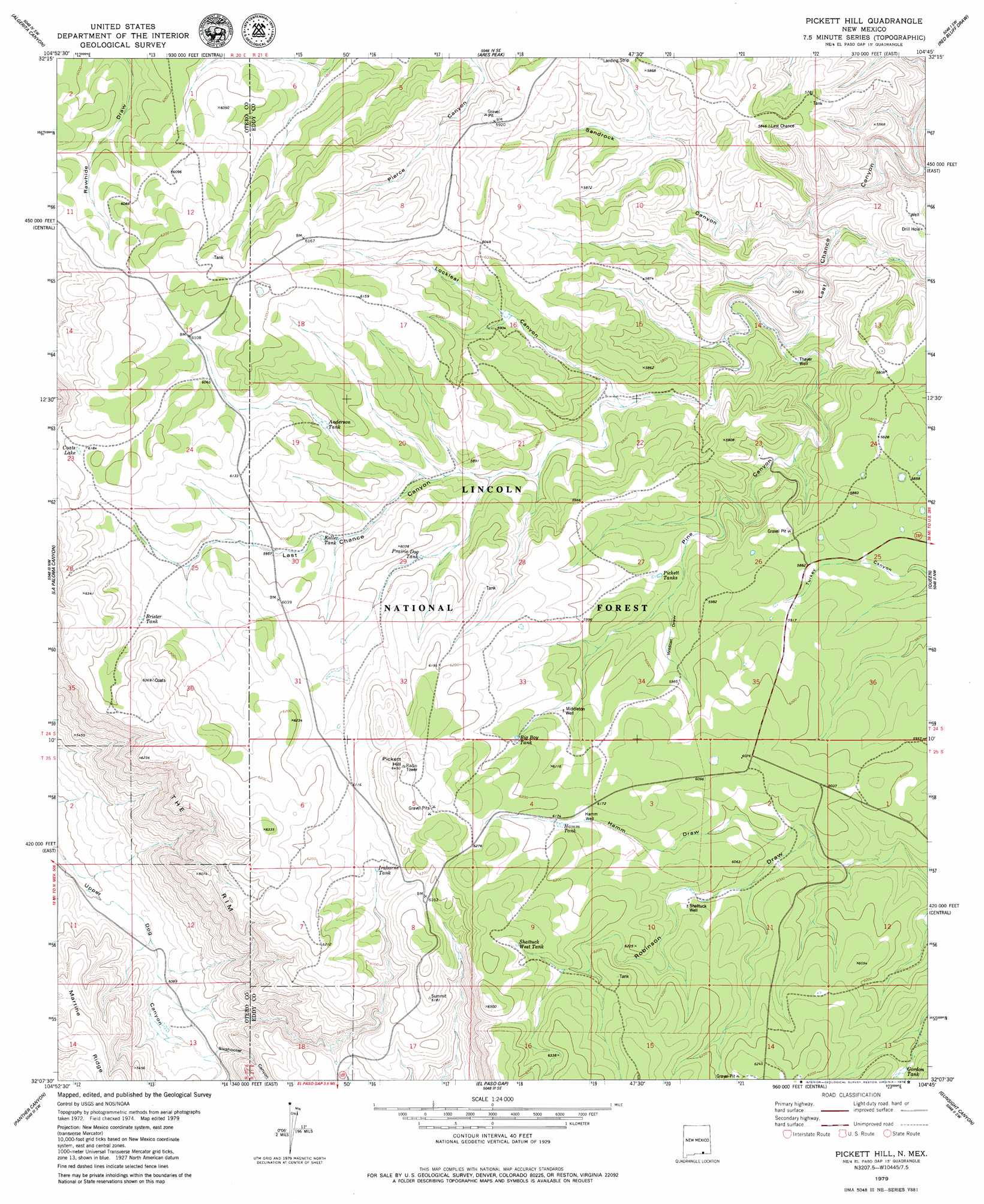
USGS Topo Quad 32104b7 - 1:24,000 scale
| Topo Map Name: | Pickett Hill |
| USGS Topo Quad ID: | 32104b7 |
| Print Size: | ca. 21 1/4" wide x 27" high |
| Southeast Coordinates: | 32.125° N latitude / 104.75° W longitude |
| Map Center Coordinates: | 32.1875° N latitude / 104.8125° W longitude |
| U.S. State: | NM |
| Filename: | o32104b7.jpg |
| Download Map JPG Image: | Pickett Hill topo map 1:24,000 scale |
| Map Type: | Topographic |
| Topo Series: | 7.5´ |
| Map Scale: | 1:24,000 |
| Source of Map Images: | United States Geological Survey (USGS) |
| Alternate Map Versions: |
Pickett Hill NM 1979, updated 1979 Download PDF Buy paper map Pickett Hill NM 2001, updated 2003 Download PDF Buy paper map Pickett Hill NM 2011 Download PDF Buy paper map Pickett Hill NM 2013 Download PDF Buy paper map Pickett Hill NM 2017 Download PDF Buy paper map |
| FStopo: | US Forest Service topo Pickett Hill is available: Download FStopo PDF Download FStopo TIF |
1:24,000 Topo Quads surrounding Pickett Hill
Panama Ranch |
Packsaddle Canyon |
Texas Hill |
Cawley Draw |
Martha Creek |
Gowdy Ranch |
Algerita Canyon |
Ares Peak |
Red Bluff Draw |
Bandanna Point |
Sheep Draw |
La Paloma Canyon |
Pickett Hill |
Queen |
Serpentine Bends |
Cienega School |
Panther Canyon |
El Paso Gap |
Gunsight Canyon |
Grapevine Draw |
Linda Lake North |
P X Flat |
Guadalupe Peak |
Independence Spring |
South Rector Canyon |
> Back to 32104a1 at 1:100,000 scale
> Back to 32104a1 at 1:250,000 scale
> Back to U.S. Topo Maps home
Pickett Hill topo map: Gazetteer
Pickett Hill: Lakes
Coats Lake elevation 1888m 6194′Pickett Hill: Mines
El Paso Gap elevation 1891m 6204′Pickett Hill: Reservoirs
Anderson Tank elevation 1816m 5958′Anderson Water Storage Tank elevation 1828m 5997′
Big Boy Tank elevation 1865m 6118′
Bradley Tank elevation 1815m 5954′
Brister Tank elevation 1852m 6076′
Coats Water Storage Tank elevation 1933m 6341′
Gordon Tank elevation 1843m 6046′
Hamm Storage Tank elevation 1867m 6125′
Hamm Tank elevation 1873m 6145′
Helper Tank elevation 1830m 6003′
Irabarne Tank elevation 1849m 6066′
Irabarne Water Storage Tank elevation 1885m 6184′
Keller Tank elevation 1802m 5912′
Knee Deep elevation 1797m 5895′
Last Chance Water Storage Tank elevation 1761m 5777′
Locklear Tank elevation 1784m 5853′
Locklear Water Storage Tank elevation 1842m 6043′
Mail Box elevation 1816m 5958′
Middleton Storage Tank elevation 1840m 6036′
Pickett Tanks elevation 1789m 5869′
Polk Tank elevation 1706m 5597′
Polk Water Storage Tank elevation 1835m 6020′
Poor House elevation 1802m 5912′
Prairie Dog Tank elevation 1805m 5921′
Price Water Storage Tank elevation 1907m 6256′
Road Tank elevation 1858m 6095′
Shattuck West Tank elevation 1925m 6315′
Stone Water Storage Tank elevation 1751m 5744′
West Water Storage Tank elevation 1905m 6250′
Pickett Hill: Summits
Pickett Hill elevation 1964m 6443′Pickett Hill: Valleys
Hamm Draw elevation 1802m 5912′Locklear Canyon elevation 1730m 5675′
Pine Canyon elevation 1670m 5479′
Sandrock Canyon elevation 1615m 5298′
Sixshooter Canyon elevation 1573m 5160′
Wildcat Draw elevation 1792m 5879′
Pickett Hill: Wells
Hamm Well elevation 1867m 6125′Middleton Well elevation 1840m 6036′
North Well elevation 1737m 5698′
Shattuck Well elevation 1844m 6049′
Thayer Well elevation 1680m 5511′
Pickett Hill digital topo map on disk
Buy this Pickett Hill topo map showing relief, roads, GPS coordinates and other geographical features, as a high-resolution digital map file on DVD: