Bandanna Point Topo Map New Mexico
To zoom in, hover over the map of Bandanna Point
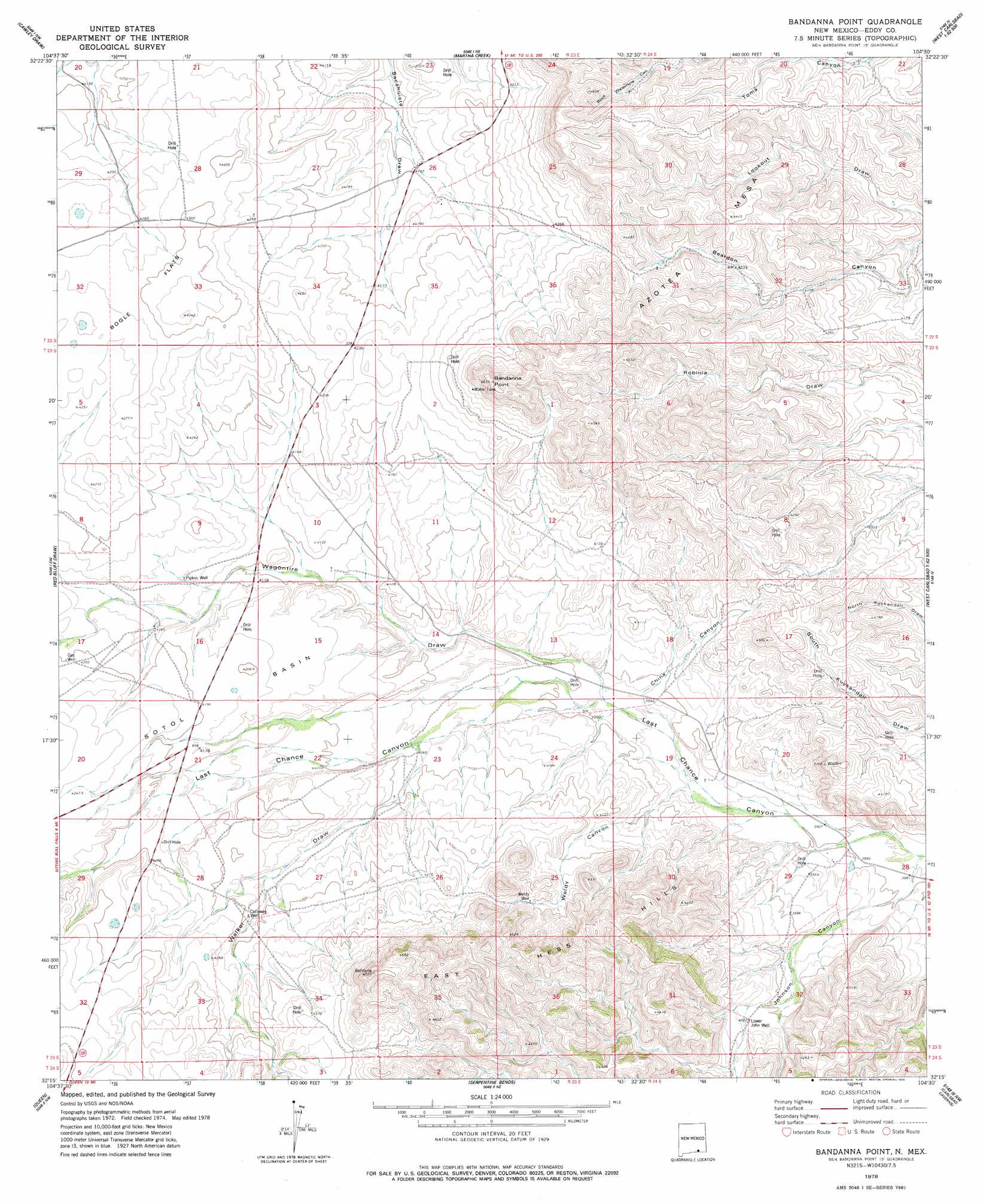
USGS Topo Quad 32104c5 - 1:24,000 scale
| Topo Map Name: | Bandanna Point |
| USGS Topo Quad ID: | 32104c5 |
| Print Size: | ca. 21 1/4" wide x 27" high |
| Southeast Coordinates: | 32.25° N latitude / 104.5° W longitude |
| Map Center Coordinates: | 32.3125° N latitude / 104.5625° W longitude |
| U.S. State: | NM |
| Filename: | o32104c5.jpg |
| Download Map JPG Image: | Bandanna Point topo map 1:24,000 scale |
| Map Type: | Topographic |
| Topo Series: | 7.5´ |
| Map Scale: | 1:24,000 |
| Source of Map Images: | United States Geological Survey (USGS) |
| Alternate Map Versions: |
Bandanna Point NM 1978, updated 1978 Download PDF Buy paper map Bandanna Point NM 2010 Download PDF Buy paper map Bandanna Point NM 2013 Download PDF Buy paper map Bandanna Point NM 2017 Download PDF Buy paper map |
| FStopo: | US Forest Service topo Bandanna Point is available: Download FStopo PDF Download FStopo TIF |
1:24,000 Topo Quads surrounding Bandanna Point
Strychnine Draw |
Box Canyon Ranch |
Foster Ranch |
Seven Rivers |
Lake Mcmillan South |
Texas Hill |
Cawley Draw |
Martha Creek |
Azotea Peak |
Carlsbad West |
Ares Peak |
Red Bluff Draw |
Bandanna Point |
Carnero Peak |
Kitchen Cove |
Pickett Hill |
Queen |
Serpentine Bends |
Carlsbad Caverns |
Black River Village |
El Paso Gap |
Gunsight Canyon |
Grapevine Draw |
Rattlesnake Spring |
Jumping Spring |
> Back to 32104a1 at 1:100,000 scale
> Back to 32104a1 at 1:250,000 scale
> Back to U.S. Topo Maps home
Bandanna Point topo map: Gazetteer
Bandanna Point: Basins
Sotol Basin elevation 1275m 4183′Bandanna Point: Ranges
East Hess Hills elevation 1370m 4494′Bandanna Point: Summits
Azotea Mesa elevation 1406m 4612′Bandanna Point elevation 1406m 4612′
Bandanna Point: Valleys
China Canyon elevation 1208m 3963′Johnson Canyon elevation 1183m 3881′
Wagontire Draw elevation 1212m 3976′
Walker Draw elevation 1240m 4068′
Weldy Canyon elevation 1199m 3933′
Bandanna Point: Wells
07011 Water Well elevation 1307m 4288′20098 Water Well elevation 1263m 4143′
20099 Water Well elevation 1247m 4091′
20100 Water Well elevation 1220m 4002′
20101 Water Well elevation 1241m 4071′
20102 Water Well elevation 1258m 4127′
20103 Water Well elevation 1243m 4078′
20138 Water Well elevation 1268m 4160′
20139 Water Well elevation 1266m 4153′
20146 Water Well elevation 1307m 4288′
20147 Water Well elevation 1266m 4153′
Callaway Well elevation 1275m 4183′
Lower John Well elevation 1227m 4025′
Pipkin Well elevation 1261m 4137′
S S Well elevation 1269m 4163′
Weldy Well elevation 1281m 4202′
Bandanna Point digital topo map on disk
Buy this Bandanna Point topo map showing relief, roads, GPS coordinates and other geographical features, as a high-resolution digital map file on DVD: