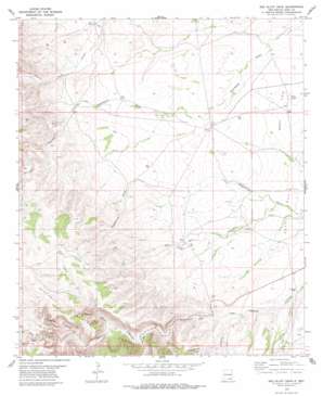
Red Bluff Draw Topo Map New Mexico
To zoom in, hover over the map of Red Bluff Draw
USGS Topo Quad 32104c6 - 1:24,000 scale
| Topo Map Name: | Red Bluff Draw |
| USGS Topo Quad ID: | 32104c6 |
| Print Size: | ca. 21 1/4" wide x 27" high |
| Southeast Coordinates: | 32.25° N latitude / 104.625° W longitude |
| Map Center Coordinates: | 32.3125° N latitude / 104.6875° W longitude |
| U.S. State: | NM |
| Filename: | o32104c6.jpg |
| Download Map JPG Image: | Red Bluff Draw topo map 1:24,000 scale |
| Map Type: | Topographic |
| Topo Series: | 7.5´ |
| Map Scale: | 1:24,000 |
| Source of Map Images: | United States Geological Survey (USGS) |
| Alternate Map Versions: |
Red Bluff Draw NM 2001, updated 2003 Download PDF Buy paper map Red Bluff Draw NM 2011 Download PDF Buy paper map Red Bluff Draw NM 2013 Download PDF Buy paper map Red Bluff Draw NM 2017 Download PDF Buy paper map |
| FStopo: | US Forest Service topo Red Bluff Draw is available: Download FStopo PDF Download FStopo TIF |
1:24,000 Topo Quads surrounding Red Bluff Draw
> Back to 32104a1 at 1:100,000 scale
> Back to 32104a1 at 1:250,000 scale
> Back to U.S. Topo Maps home
Red Bluff Draw topo map: Gazetteer
Red Bluff Draw: Flats
Bogle Flats elevation 1305m 4281′Red Bluff Draw: Lakes
The Lake elevation 1291m 4235′Tule Lake elevation 1291m 4235′
Red Bluff Draw: Populated Places
Four Wells elevation 1336m 4383′Red Bluff Draw: Reservoirs
Line Water Storage Tank elevation 1646m 5400′Red Bluff Draw: Valleys
Anderson Canyon elevation 1315m 4314′Baker Pen Draw elevation 1447m 4747′
Dunnaway Canyon elevation 1392m 4566′
Gilson Canyon elevation 1365m 4478′
Red Bluff Draw elevation 1285m 4215′
Roberts Canyon elevation 1430m 4691′
Sitting Bull Canyon elevation 1385m 4543′
Trimble Canyon elevation 1293m 4242′
White Oaks Canyon elevation 1414m 4639′
Wilson Canyon elevation 1400m 4593′
Red Bluff Draw: Wells
06685 Water Well elevation 1306m 4284′07037 Water Well elevation 1325m 4347′
20096 Water Well elevation 1322m 4337′
20097 Water Well elevation 1338m 4389′
20141 Water Well elevation 1301m 4268′
Tule Well elevation 1305m 4281′
Red Bluff Draw digital topo map on disk
Buy this Red Bluff Draw topo map showing relief, roads, GPS coordinates and other geographical features, as a high-resolution digital map file on DVD:


